
Tetica de Bacares peak

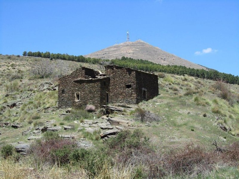
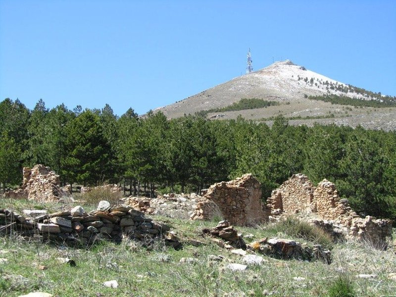
The Tetica de Bacares is a peak of 2,080 metres in the Sierra de los Filabres, in the municipal district of Bacares, and is one of the easternmost peaks of the Penibética Mountain Range reaching over 2,000 above sea level. It is a category 1 principal summit with an altimetric dominance of 79.97%, prominence of 17.27% and relevance of 37.16%.
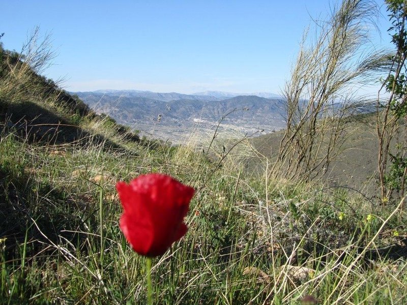
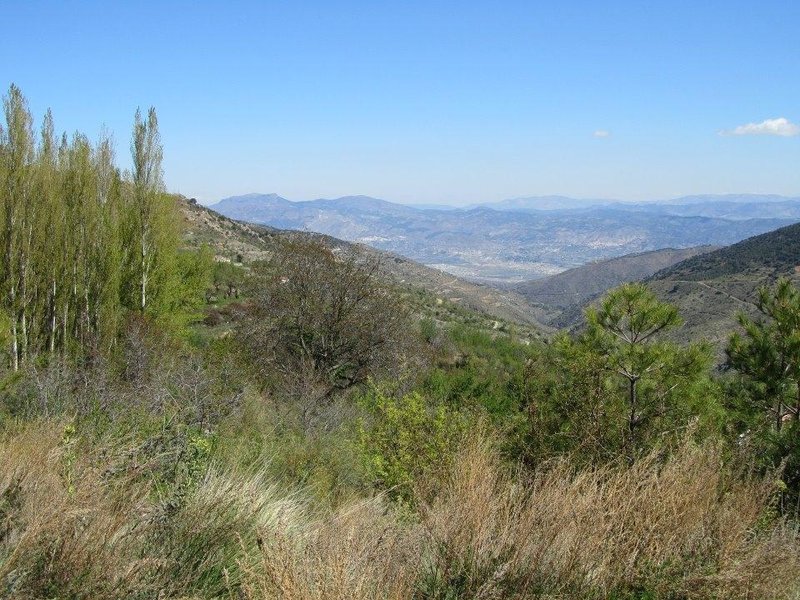
This summit played an important role in the geodesic connection between Europe and Africa, when in 1858, engineer and army general Carlos Ibáñez de Ibero had to spend two months on the summit to establish the geodesic connection with Morocco. The peak is in the shape of an equilateral triangle and we can see it from anywhere in the Valle del Almanzora.
Route
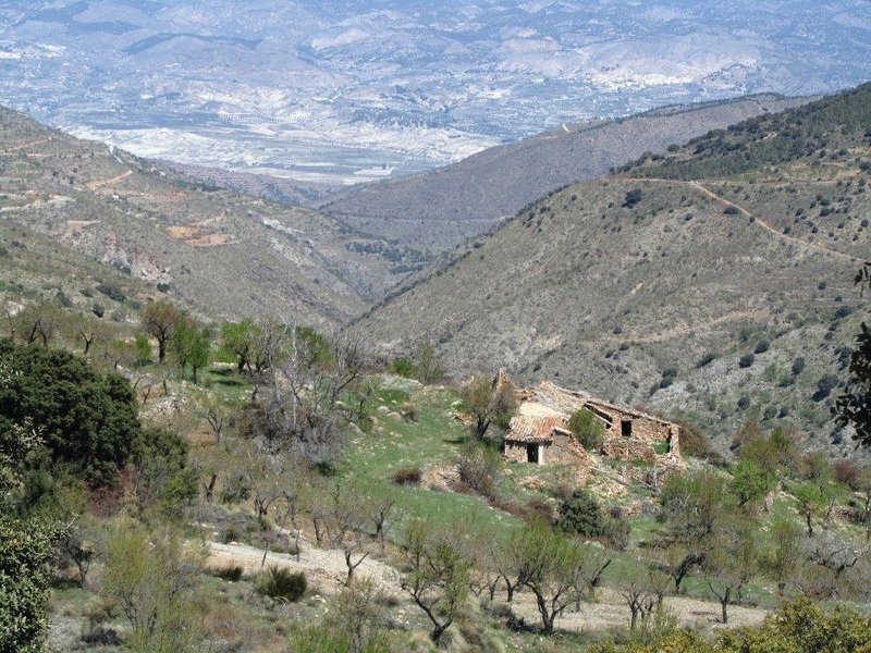
There is an authentic network of tracks and forest trails to access it, although the most recommended are the following:
The first one from Purchena, behind the swimming pools, passing the Centro de Interpretación del Tiempo and heading towards the recreational area of La Silveria. This is a very long route and is almost entirely via well-compacted dirt tracks, suitable for all types of vehicles providing it does not rain and there is no mud.
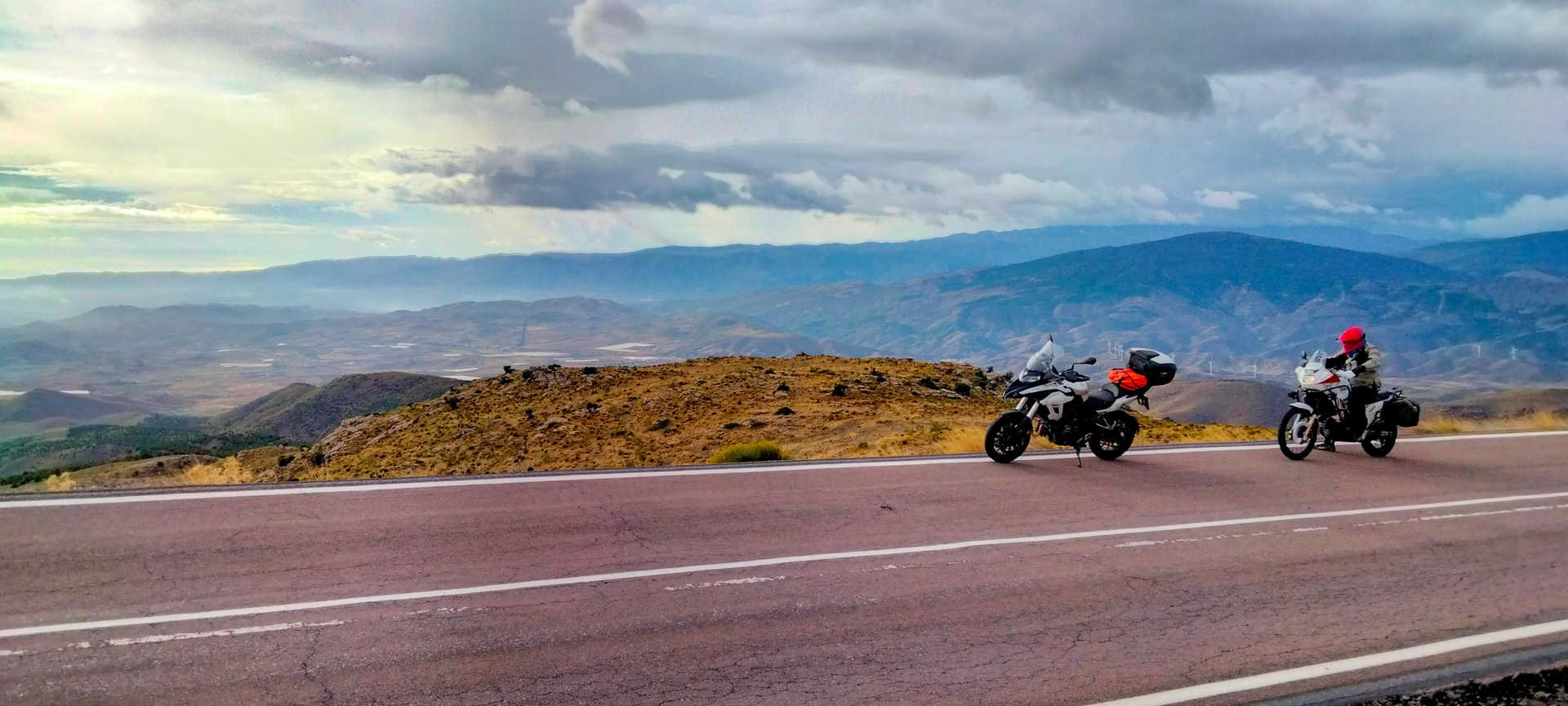
The second route that takes us to the geometric peak is the one that departs from the town of Bacares. This access is recommended for its comfort and simplicity as you can go right to the top by a paved path.
Necessary equipment: It is recommended to wear suitable footwear, comfortable clothes, a hat, sunglasses and sun cream. Always take water and a raincoat depending on the season.
Itineraries
Services and infrastructure
Target audiences
Specialties
Season
You may be interested


EXPLORE ANDALUSIA
EXPERIENCES


