
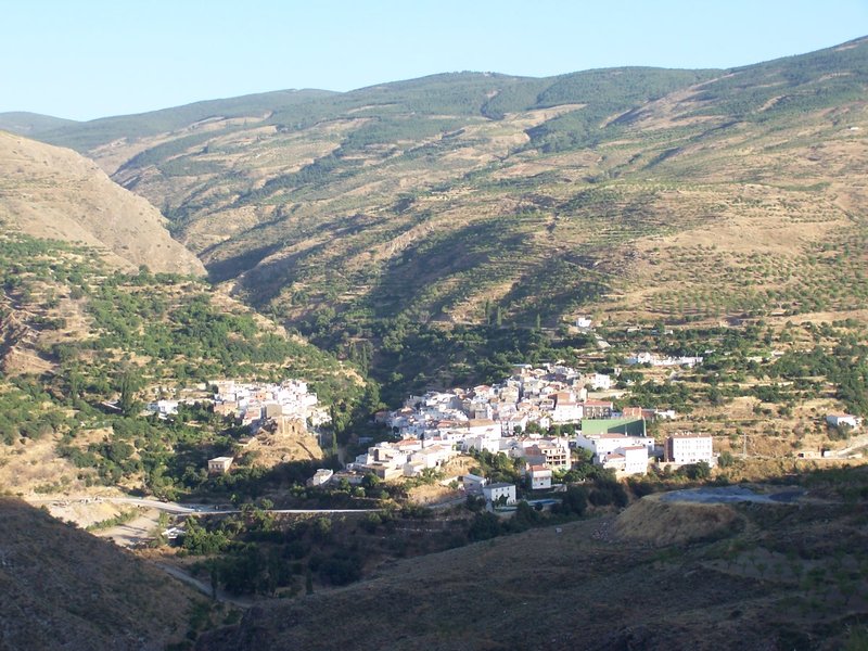
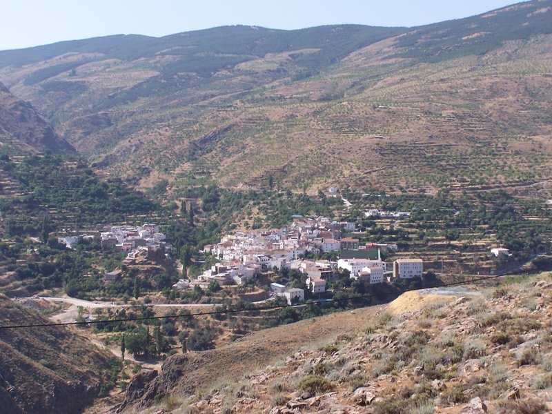
La Cuesta Blanca Trail. From Sierro to Bacares - PR-A 14

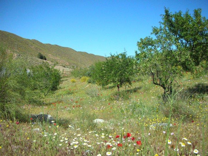
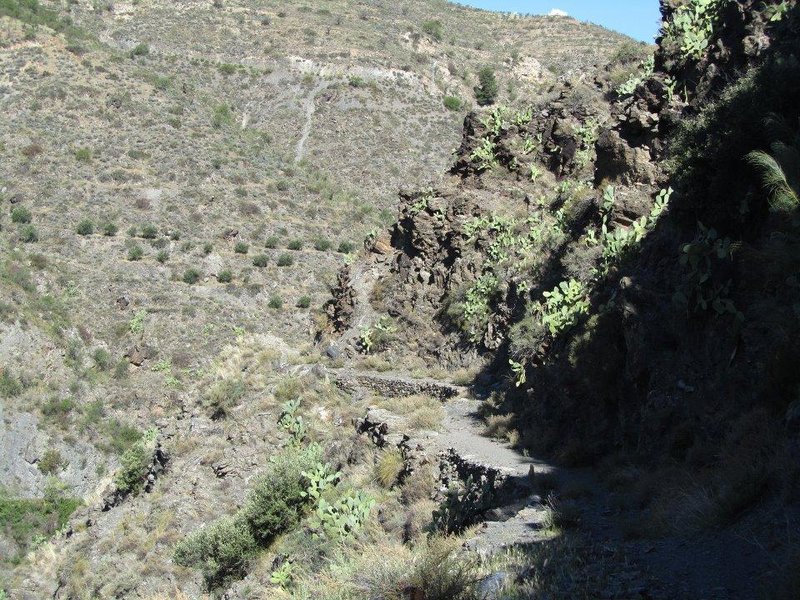
The La Cuesta Blanca Trail - PR-A 14 runs from Sierro to Bacares (and vice versa) through the central region of the Sierra de los Filabres mountains. It is in the district of Alto Almanzora. The geological diversity displayed along the route, from the rock falls to be seen at the source of the Bacares River and its surroundings to the metamorphic schists at the heart of the Filabres and the limestone and dolomitic materials that make up the Bacares y Bayarque Plateau.
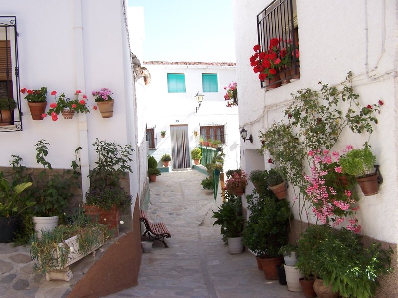
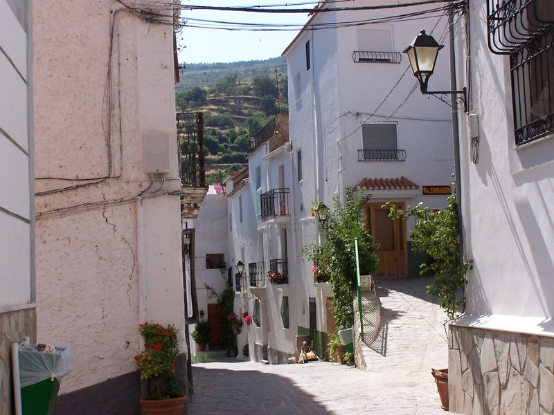
The route of the trail is an attempt to recover the old trails used daily by the inhabitants of these two towns, as well as the surrounding small settlements, to move about and carry out their daily tasks.
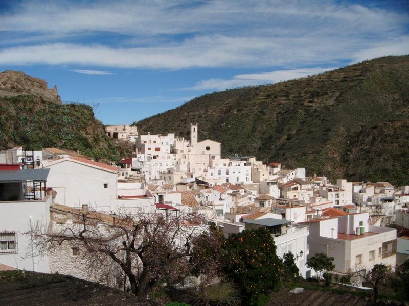
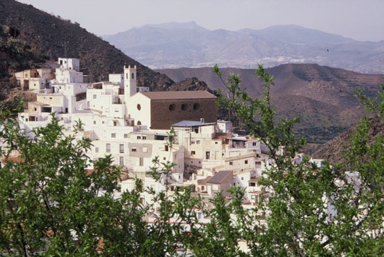
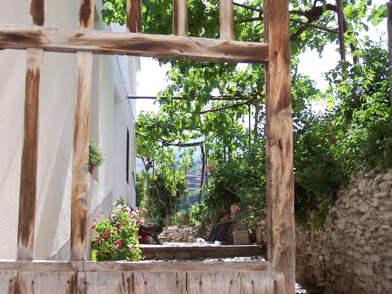
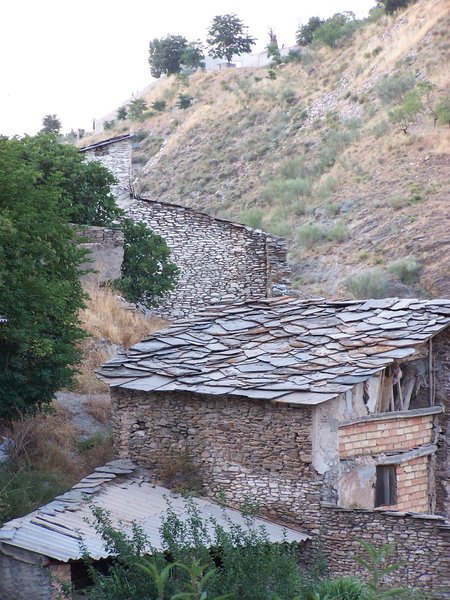
Likewise, in Sierro you'll see the "Mirador del Moro “ lookout point and in Bacares you'll pass by the old forge which produced much of the ironwork for the Cathedral in Almería.
Type of Trail: Linear Trail Status: Approved and Signposted 2007. Total Distance: 13.3 km. Legs: 1 Accessibility: It can be done on foot. Download Topo Guide
Itineraries
Services and infrastructure
Target audiences
Segments
Season


EXPLORE ANDALUSIA
EXPERIENCES


