
Lantejuela
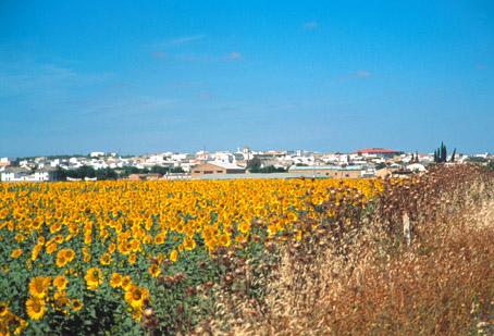
Locality belonging to the Campiña region, located between Osuna and Écija. Its landscape consists of the gently undulated land devoted to the culture of cereal and herbaceous plants.
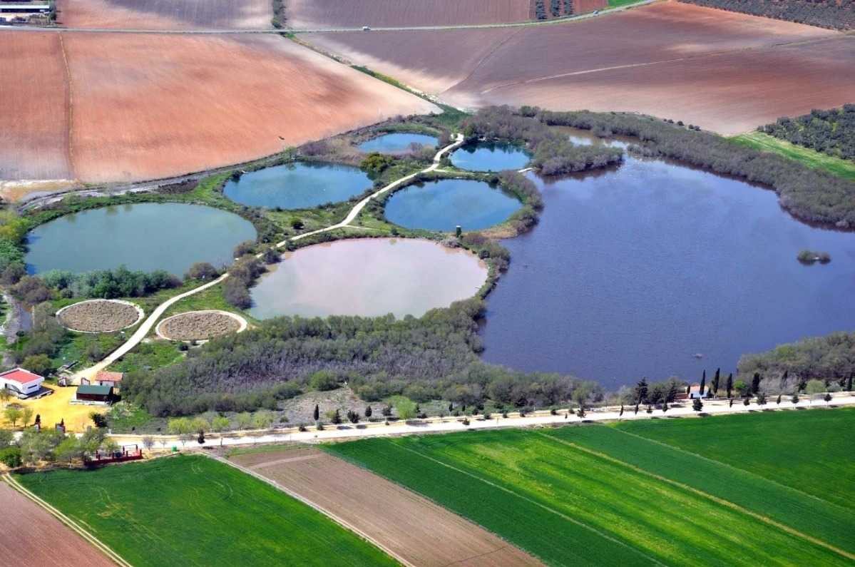
The Natural Reserve of the Complejo Endorréico de la Lantejuela is located within its limits. Comprising the lagoons of the Ballestera and Calderón Chica, fed from rainwater, the reserve is of great ecological value.
History
Not much is known about the origins of its name. It might have been the name of a local landowner, or might just come from the word lentejuela (nugget), since in the surroundings of the village several gold nuggets were discovered.The ruins of a Roman city have also been found in the AREA, although its name has not been identified.
Henry IV granted Pedro Girón II, Grand Master of the Order of Calatrava, the right to create an estate on the lands the latter had received from the Pope Calixto III. This grant was confirmed by the King in 1457. La Lantejuela formed part of these lands and of the estate ceded to Pedro"s son, Alfonso Téllez Girón.
The village was subject to the duchy of Osuna until the abolition of feudal domains in 1837, when it became an independent municipality. On February 14, 1842 it held the first meeting of the independent town council.
Lantejuela
Municipio

The weather today in Lantejuela
- Max 18
- Min 14
- Max 64
- Min 57
- °C
- °F

Lantejuela
Tourist area
Distance to the capital (km)
76
Altitude above sea level (m)
154
Extension (Km 2 )
18
No. of Inhabitants
3488
Demonym
Lantejolenses
Postal Code
41630
en
Read more


