
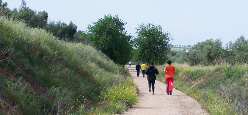
Vía Verde of las Minas de Plomo (Lead Mines)
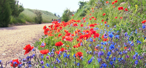
From the centre of Linares to the countryside filled with the remains of mining and olive trees along the southern foothills of the Sierra Morena mountain.
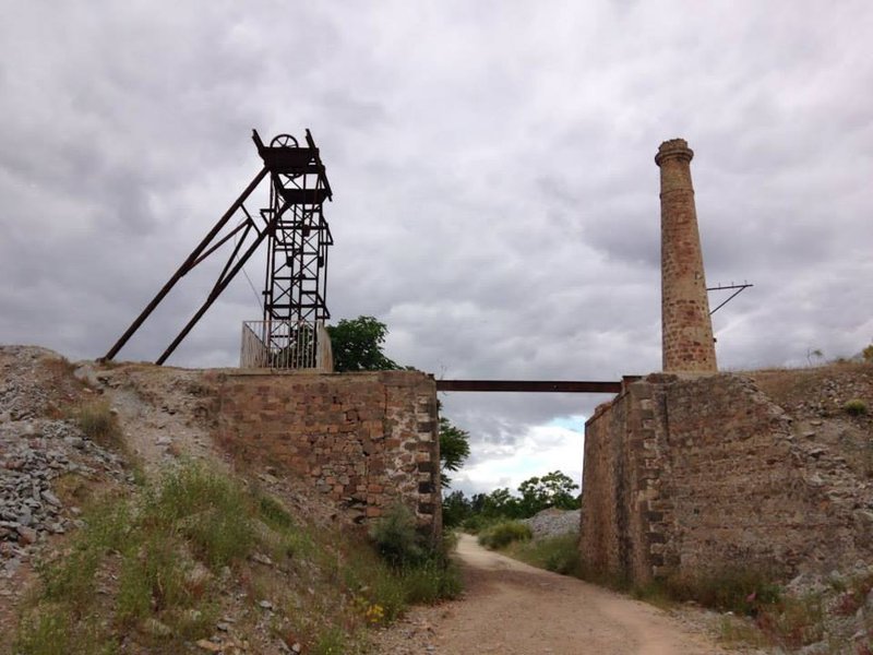
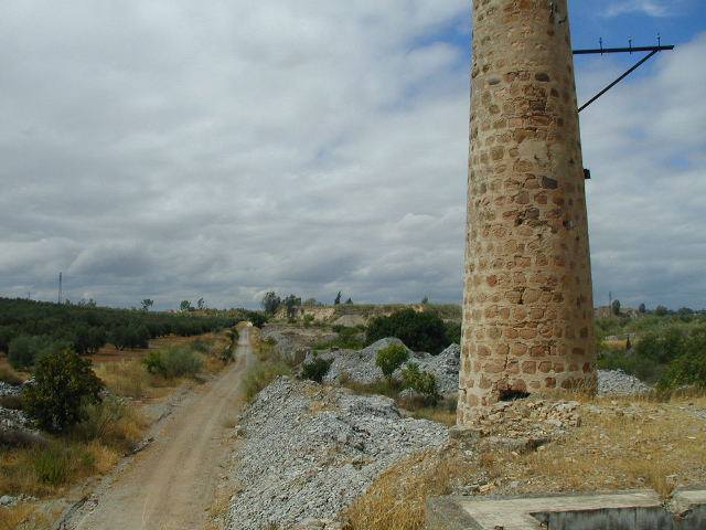
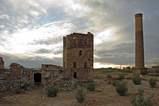
The Vía Verde de las Minas de Plomo (Lead Mines) runs along part of the railway line which joined the Estación de Linarejos station with different parts of the city's mining community. It is one of the most beautiful routes in Linares, where you can savour the impressive industrial heritage, walking close by to some of the most important Mines and Smelting Plants from the former mining industry, which was one of the first producers of lead in the world.
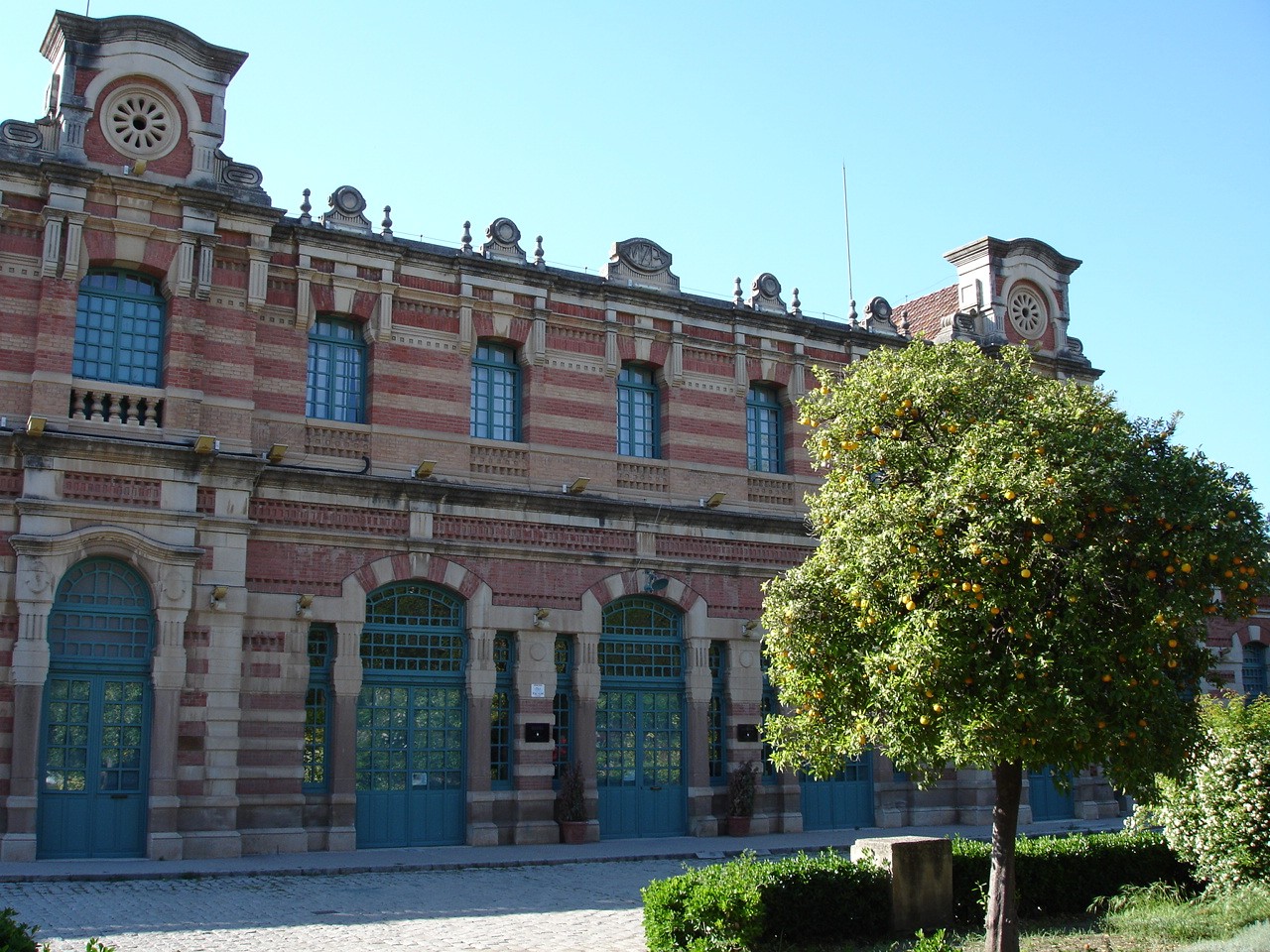
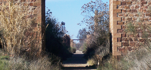
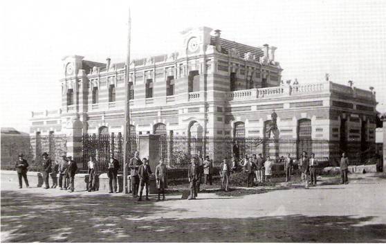
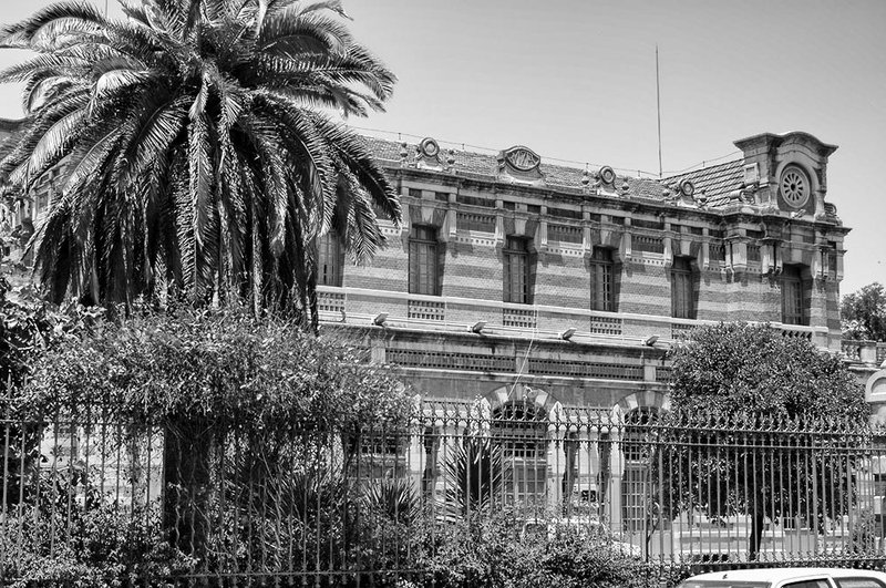
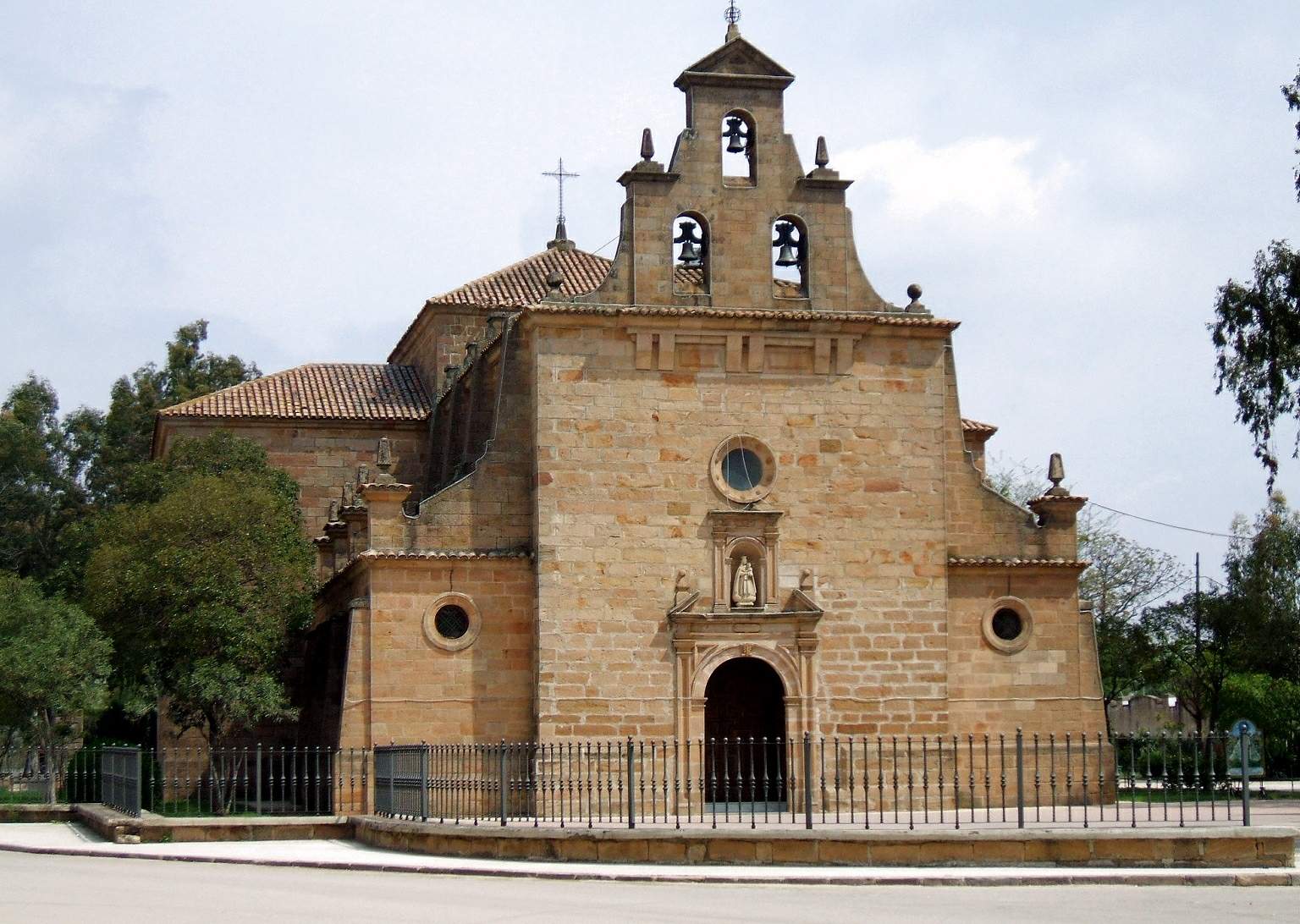
The Vía Verde de la Minas de Plomo in Linares, starts at the old Madrid Station, in the famous Paseo de Linarejos, where you can find the Mining and Metallurgy Landscape Interpretation Centre, linking the town centre with the mining area, passing between the Virgen of Linarejos Chapel and the back of the old SANTANAfactory. It heads north, almost parallel with the Camino de San Luis until it branches off next to the remains of the Old Smelting Plant in San Luis.
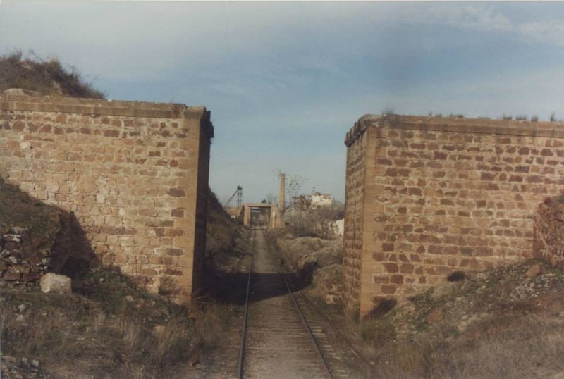
Then, after changing direction and heading West, it passes under the remains of three bridges, the first which was for the tram that went to the Arrayanes Mines. After to the Camino de San Miguel near Pozo San Vicente and the Pozo Rico you continue until it joins the Camino de Myrtles near Pozo Restoration.
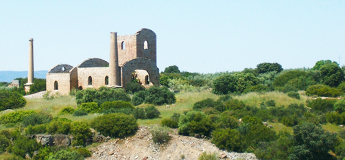
After crossing the Camino de Arrayanes, heading southeast, it forks off, following the tram on the right hand side northward, until reaching the old La Cruz Smelting Plant. This line brought in materials and minerals and took out Lead and passengers.
The route that goes west will take you to the Pozo Ancho stop. Having passed the remains of the old Pozo Ancho Station, the vía verde continues towards the south, descending and crossing various paths until reaching the remains of the Old Estación de los Salidos station, running parallel to the Camino de los Quinientos, having cut across the Camino de Siles. Once past the Station and the remains of its loading bay to the south, you will reach the end of this route, at a point over the Ctra. de Baños (A-6100), opposite the Camino de Cañada Incosa.
Managing Body: Linares Town hall
Itineraries


Services and infrastructure
Target audiences
Segments
Specialties
Season
You may be interested


EXPLORE ANDALUSIA
EXPERIENCES


