
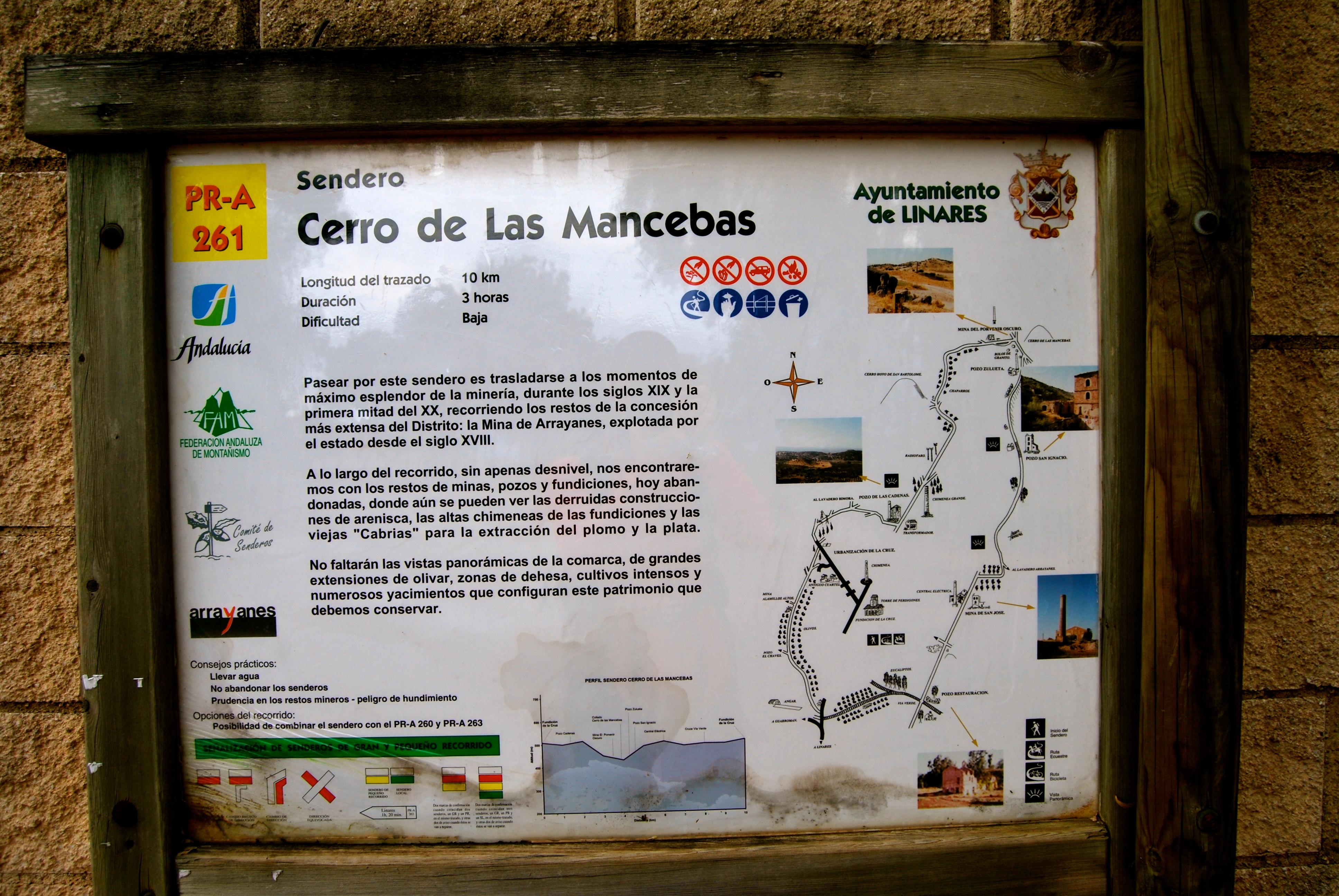
La Gitana Trail. Linares Mining Routes – PR-A 264
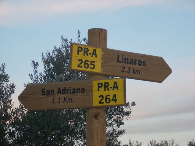
The route of the Gitana Trail – PR-A 264, not only revives the Camino de Masegosas cattle path at its start, it also does so on its return to Linares via the old lane Camino de Siles, also called the Camino de Piedras (Stone Lane).
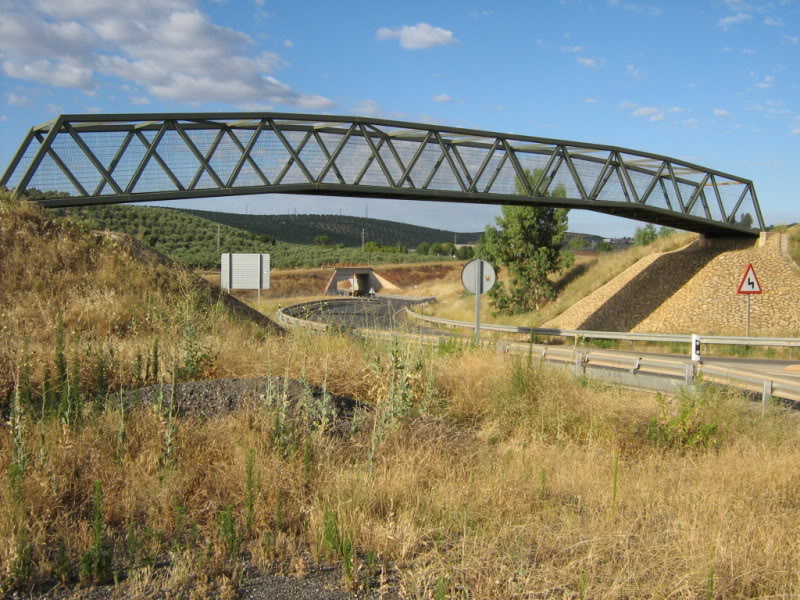
This path has not been stripped at all and is marked by another stone wall. We leave the cattle track by turning left at the first junction, a few metres from another junction with the Pozo de San Adriano mine shaft, which we can visit if we leave the route. Our route continues, crossing the Minas de Plomo Greenway and reaching a crossroads where we turn right along a path near an electric tower that continues through olive trees.
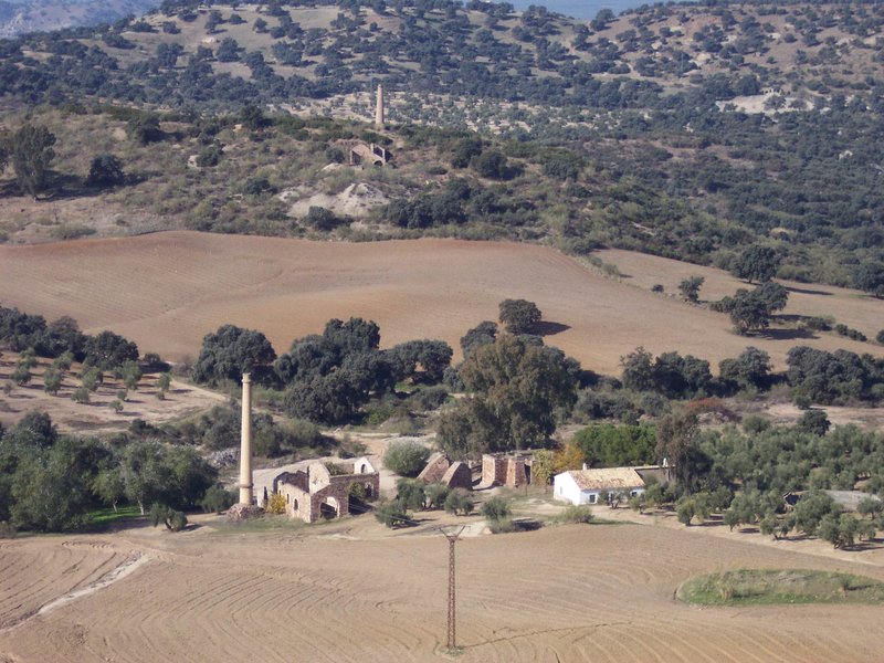
A lane meets the trail on the right, continue right; after about 100 m there are some ruins, then a short and a slight descent leads to the residential area of San Roque, opposite a slender chimney on the road to Guarromán. On the road and to the left, walk about 250 m until we reach a lane between chalets that we take, turning off to the left once again.
The path descends gently by an area of meadow to reach a well known as Pozo de la Gitana, not without first opening and closing a wire fence that serves as a gate to impede free passage. El Pozo de la Gitana, an ideal place to relax, where we may be lucky enough to see the spectacular effect of a rainbow at the opening of the shaft.
We reach the Pozo de las Ánimas, and there on an information board we can spot the most interesting places in the area. It is situated at the crossroads with the Adaro mines. Without straying from the path, on the way down on the left is the Pozo de San Isidro; further down, after a stream, the path climbs leaving behind on the right the 2nd Pozo San Francisco, culminating in Solid Waste Plant, where it continues along the road, which you have only leave after the crossroads with the Mina de Los Quinientos and take a path that goes off on the left, crossing the Greenway next to a hut in ruins joining the Fundición de la Tortilla, PR-A 265 trail, which both the use Camino de Siles to reach Linares.
Type of Trail: Circular. Trail Status: Approved and Signposted 2003. Total Length: 15.3 km. Sections: 1 Accessibility: Suitable for walking, mountain biking and horse riding. Download Topographic Guide
Itineraries

Services and infrastructure
Target audiences
Segments
Season
You may be interested


EXPLORE ANDALUSIA
EXPERIENCES


