
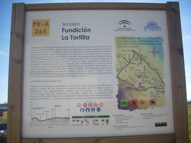
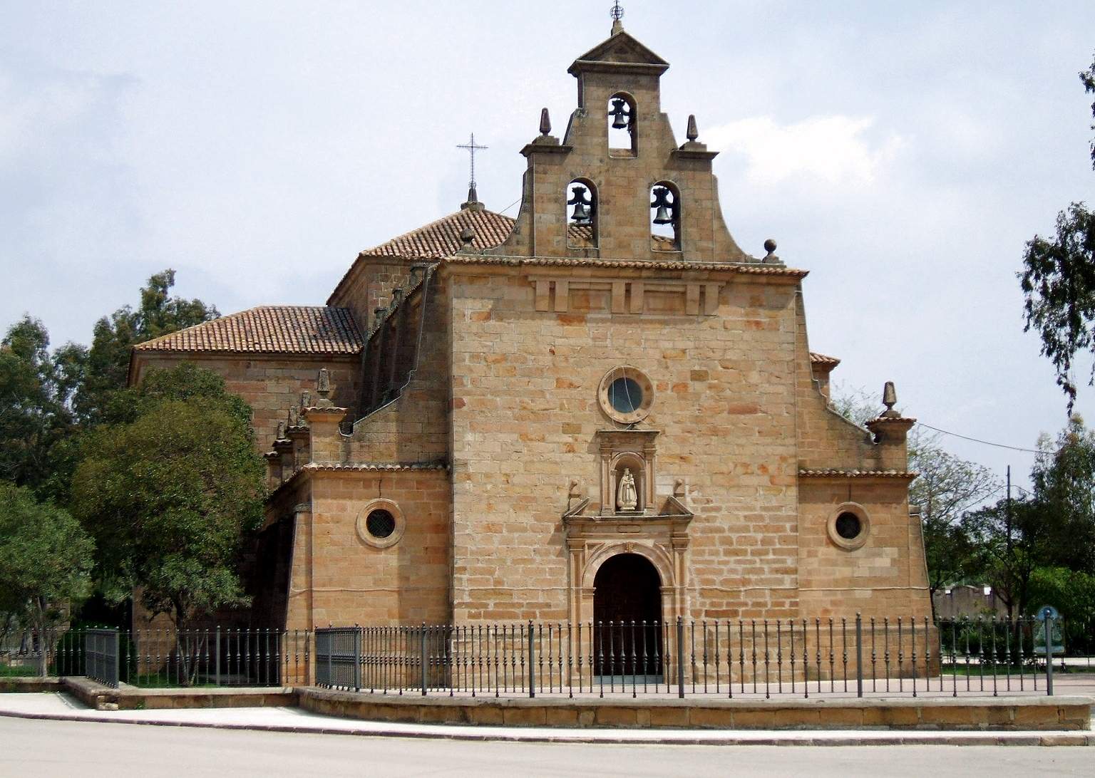
Vadollano Greenway
From Linares to Vadollano in a landscape of hilly olive groves.
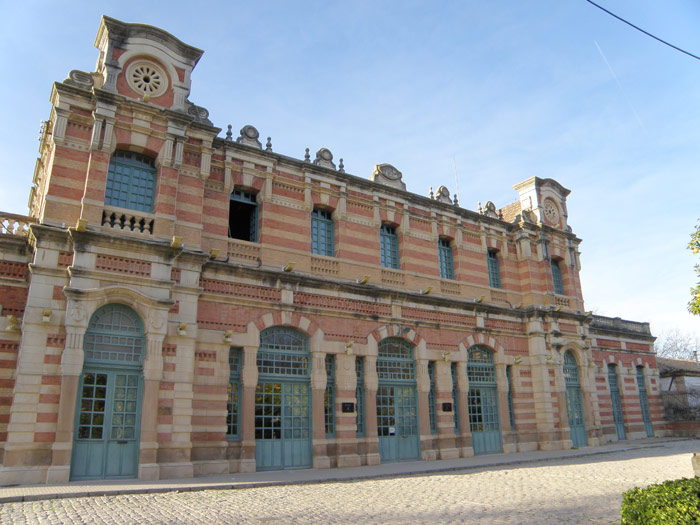
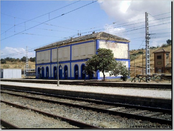
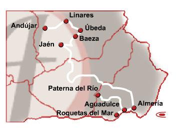
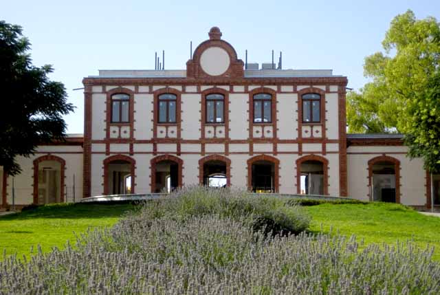
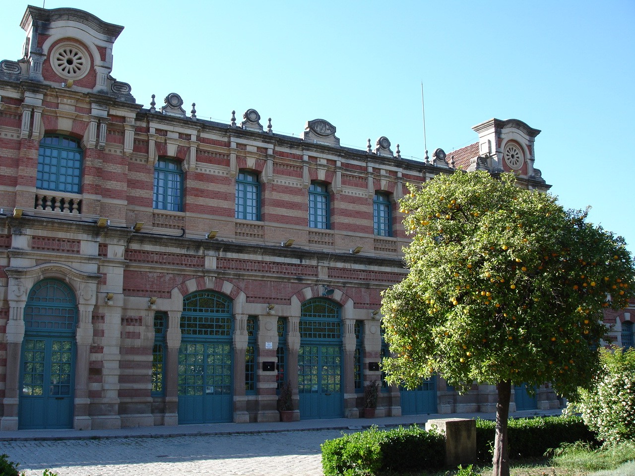
The Vadollano Rail Trail runs along the old route of the Linares - Vadollanorailway, from the old factory in Santana to the gateways to the Military Detachment Barracks in Vadollano, from where you can see remains of the rails and sleepers, which have become grown over with vegetation over the years and are practically impassable.
The history of this railway started in 1868, when they began to request authorisation to open a railway line between the Manzanares to Cordoba line and the mining area of Linares. Several years of "struggle" took place between the different companies until, in 1879, the Vadollano-Linares section went into service following the design project by the MZA Company.
This section was the start of the connection between the rich mines of Linares and the main railway line, created to get the minerals from our mining area either to the foundry or to the distribution areas.
The one popularly known as the Vadollano Rail Trail, which is usually used by many citizens taking walks, had its rails and sleepers removed as a result of the work for channelling water from the Fernandina Reservoir to the city of Linares, so the ground today is compact gravel.
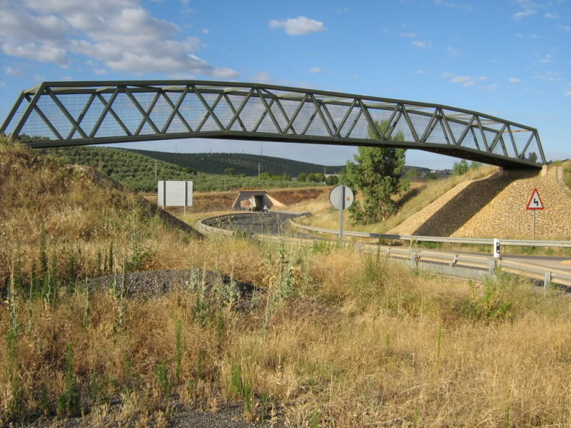
The layout of this route is a progressive slope from its start, at 428 m, which becomes more pronounced a few metres before the bridge which crosses the road to Paraje de La Garza. In this area, which is also known as the Barranquillo del Lobo, is the roundabout that connects with the Ronda Norte, linking the Bailén road (A-32) with the Condado road (A-312).
It is worth noting how the route coincides with the Cañada Real Conquense or Cañada Real del Guadiel which, once it crosses the town of Linares, runs from the final area of the Factoría de Santana, overlapping the Vadollano Rail Trail to the Barranquillo del Lobo area, where it turns off northwards, more or less halfway between the Fernandina road and the old railway line.
Managing Body: Linares Town Council
Itineraries

Services and infrastructure
Target audiences
Segments
Specialties
Season
You may be interested


EXPLORE ANDALUSIA
EXPERIENCES


