
Aracena - Corteconcepción trail (along the El Rebollar route) – PR-A 46
The Aracena – Corteconcepción trail– PR-A 46 has its starting point on the El Rebollar route on the ring road of Aracena. After one kilometre, approximately, you reach a farm and where there are two turnoffs to the right, close together, which you do not take but continue along the main path.
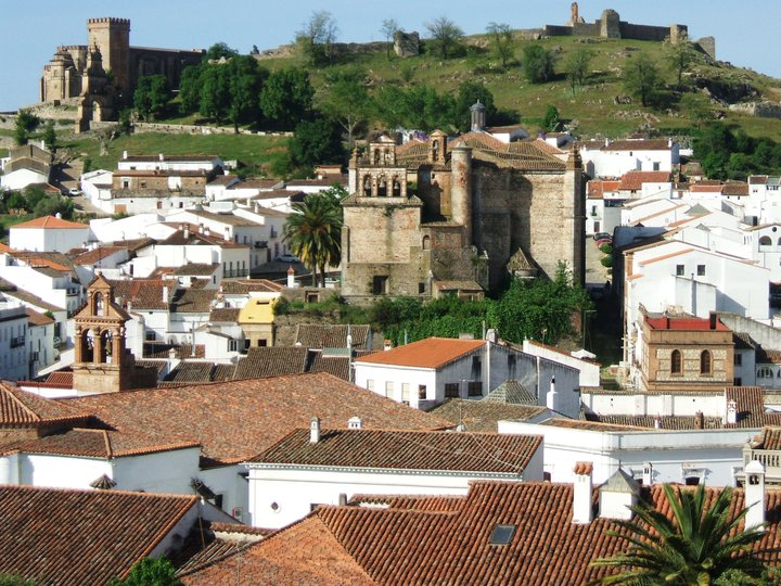
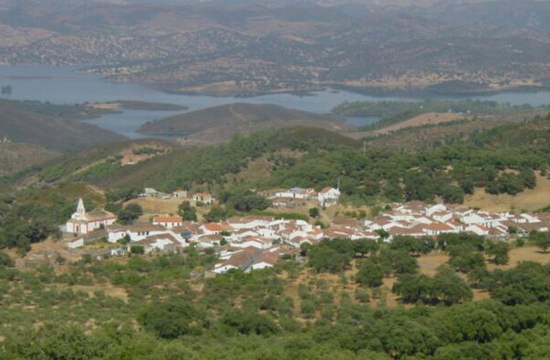
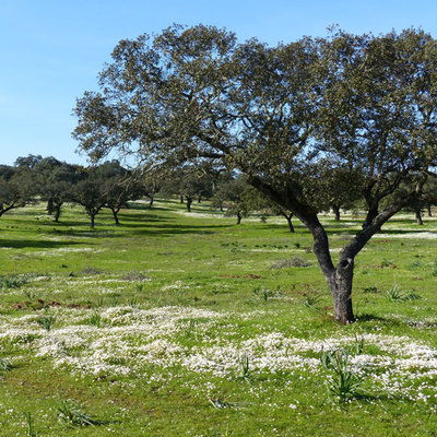
The path runs along a more or less flat area and, after 2.5 km, there is a path running across on the left, which you take and start climbing the Sierra de Corteconcepción mountains. From the top you can enjoy magnificent views of this area. Sierra de Aracena
The path descends through the Umbría de la Corte and reaches a crossroads, and you go straight on. The path on the left comes from Aracena by the Arroyo de la Fuente del Rey and corresponds to PR-A 45. Continue ahead along a narrow street that will take you to the end of route in Avenida de la Diputación in Corteconcepción.
Type of route: Linear Status of the route: Approved and signposted 1994. Total length: 5 Km (one way) Stages: 1 Accessibility: Suitable for walking, horseback and mountain bike. Download brochure
Itineraries


Services and infrastructure
Target audiences
Segments
Season


EXPLORE ANDALUSIA
EXPERIENCES


