
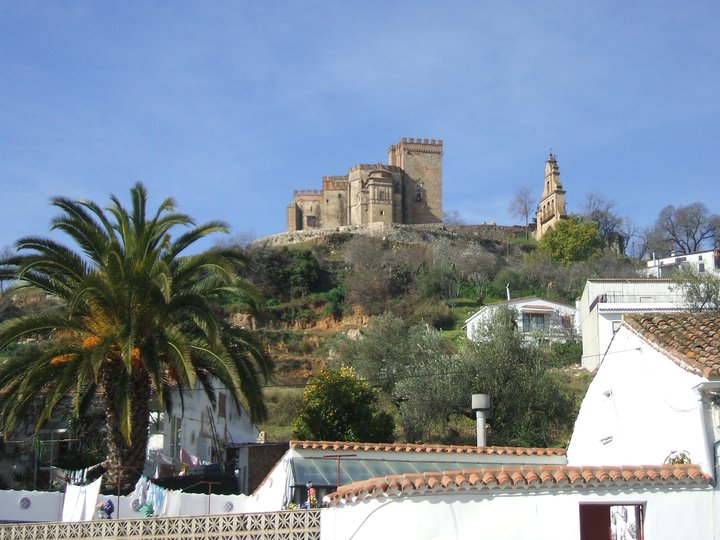
Aracena – Linares de la Sierra – PR-A 48 Trail
The sierra de Aracena has the most extensive network of towns and villages in all of the Sierra Morena mountains. Between them a series of paths was created, most of which still exist today, though more for their historical and cultural value than as an necessary infrastructure. By travelling this path between the regional capital, Aracena, and one of its most picturesque towns, Linares de la Sierra, we have the chance to reminisce about landscapes and scenery of bygone times, and some not so long ago.
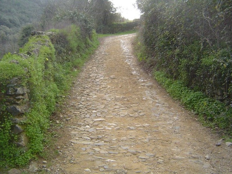
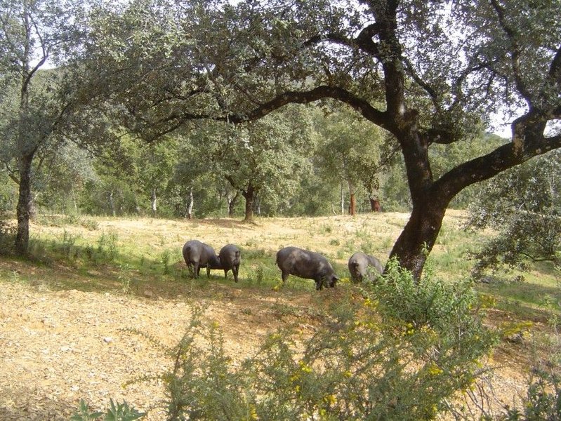
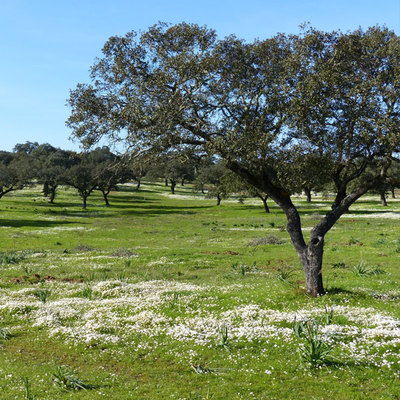
We are in Aracena at the exit towards Alájar. After the municipal swimming pool, we come to the old path to Alájar, which we follow until the last houses, where we will find the start of the trail. The first section runs close to the road leading to our destination (HU- 8105). The urban elements and the typical crops gradually disappear as we approach a more rural setting. Meadows and pastureland, which are an emblematic feature of the natural park, predominate in the area we are passing through.
We continue towards the foot of a hill called Cerro de San Ginés (869 m), which we can see on the other side of the road. Before having walked one and a half kilometres, on our left we pass by a wide path leading to a farmhouse that we can see between the slopes and the valley. One hundred metres further on, the path turns left, leaving the road and going gently downhill for about four hundred metres. Once we start uphill again, we will be in the municipality of Linares de la Sierra.
This uphill section is short — less than two hundred metres — and we then have a long, gentle downhill section towards a stream called Arroyo Plamencia. We now reach the shaded north-facing slopes, where we can see the results of the shade on the vegetation. Thus, we will see packed undergrowth made up of ivy, sarsaparilla, terebinth, hawthorn, heather, myrtle and broom, alongside gall oaks, cork and oak. This is known as humid Mediterranean woodland.
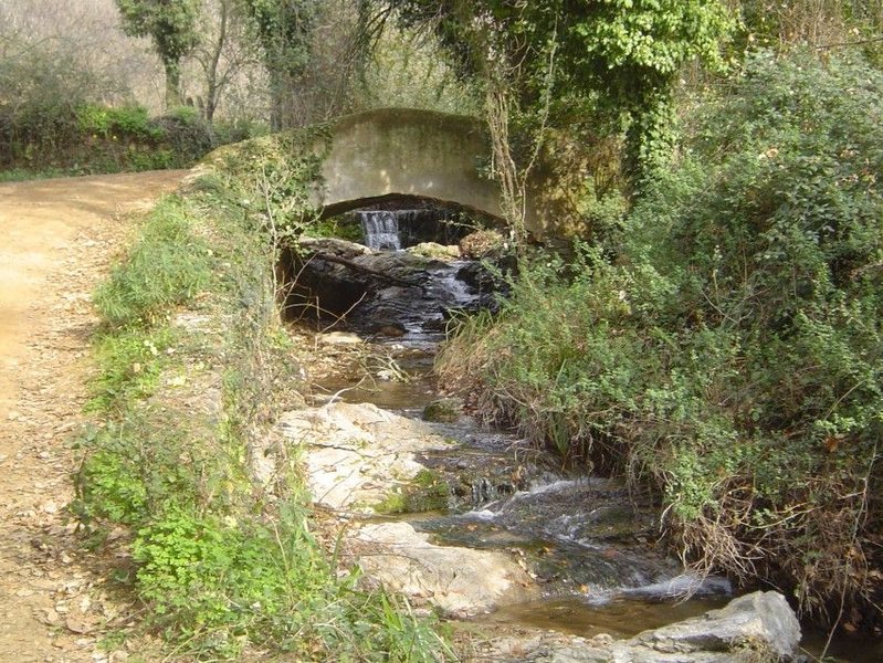
After walking downhill for one and a half kilometres, we reach the stream called Arroyo Plamencia, accompanied by riverbank vegetation, such as oleander and willow, and populated by water animals and amphibians, such as salamanders, frogs and toads. We cross a bridge and we continue parallel to the watercourse until reaching a road near Linares de la Sierra, where our route ends. First, we take another path to the left, where we can see a drinking trough. After this we avoid reaching the road by taking the paved path
Type of Trail: Linear Trail Status: Approved and Signposted 1994. Total Length: 5 Km (one way) Sections: 1 Accessibility: Suitable for walking, horseback and mountain bike. Download Brochure
Itineraries

Services and infrastructure
Target audiences
Segments
Season


EXPLORE ANDALUSIA
EXPERIENCES


