
Jabuguillo – Carboneras Trail – PR-A 40
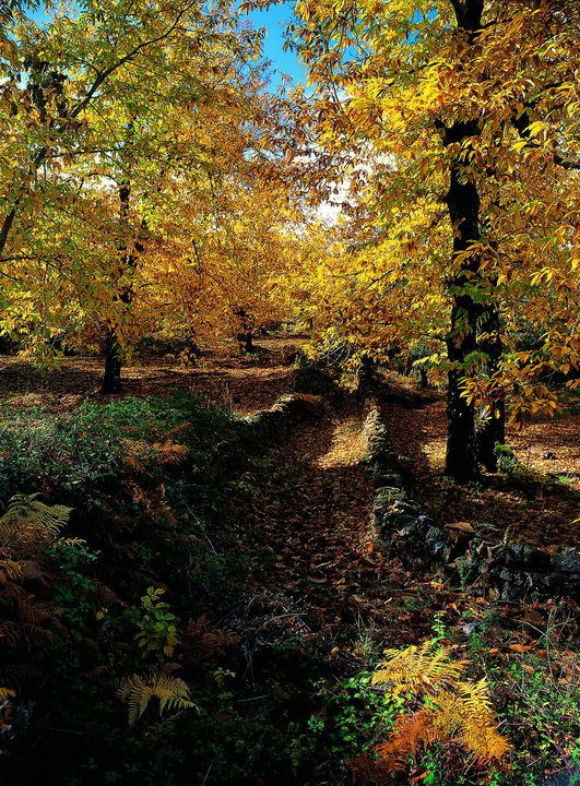
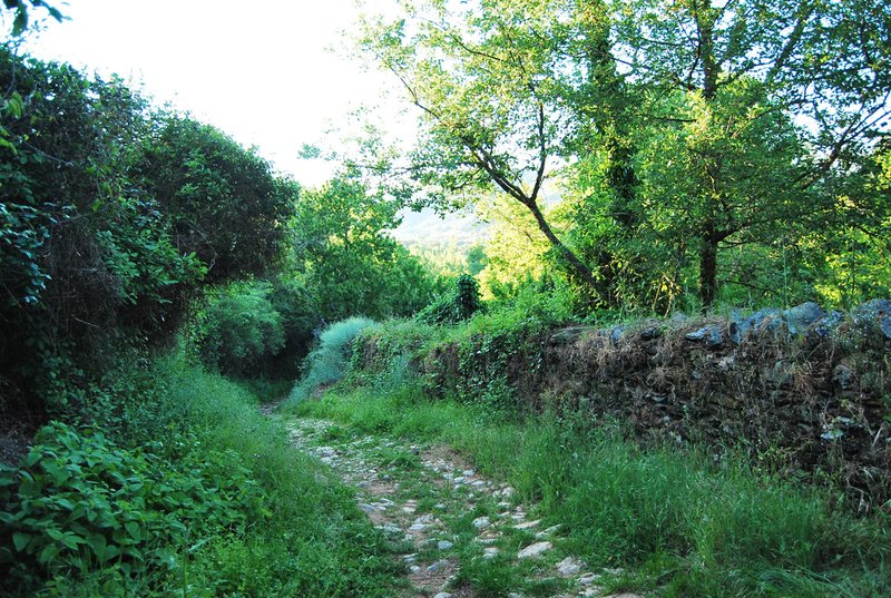
The Jabuguillo – Carboneras Trail – PR-A 40 starts from the Plaza José Rodríguez Scotto, in Jabuguillo, and follows the so-called Camino de Valdezufre. The track climbs gently and then starts to descend to the Arroyo Marimateos (origin of the Odiel River), it crosses the N-433 highway and turns right until the turn-off to the entry to Valdezufre.
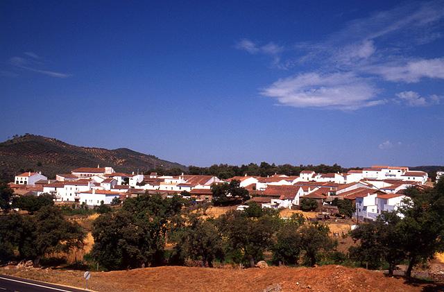
It enters the town and takes the Avenida de Santa Marina to the end where it meets the Calle Real. It reaches the countryside next to the sports centre and, after crossing a riverbed comes to a fork where we turn right.
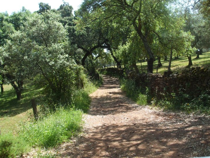
The path then arrives at a crossroads with three branches, take the one in the middle which has a short, steep slope. The path passes by a farmhouse that has cabins and comes to an iron gate which we must pass through, and we immediately come to a fork where we carry on straight to Los Llanos.
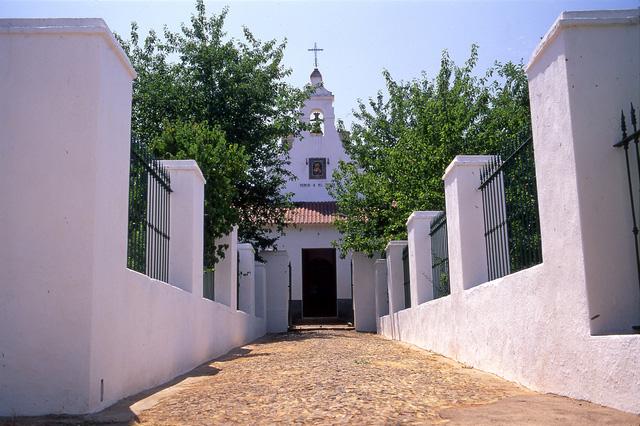
When it reaches the road continue on the left for about 200 metres, then leave it to take a track to the right, after passing through an iron gate. We then have to pass through another iron gate, continue as far as the road to Puerto Moral, cross it and take the path to the left that takes us into Corteconcepción.
Pass through the town until you come out on the Montesina or Aracena Path which coincides in part with the PR-A 45, and turn right towards the Arroyo Fuente del Rey. Ford the stream and immediately turn right at the fork (the left fork leads to Aracena on the PR-A 45)
Further on you will come to another fork, take the left fork towards the Puerto de los Molinos pass, then carry on down towards the village of Carboneras, then pass through the town and exit via the path to Castañuelo, which runs near the highway which leads to this village. A little further on turn left until you reach the junction with the main road to Aracena where the trail ends.
Type of Trail: Linear Trail Status: Approved and Signposted 1994. Total Distance: 12,5 Km (one way) Legs: 1 Accessibility: Suitable for walking, horseback and mountain bike. Download Brochure
Itineraries

Services and infrastructure
Target audiences
Segments
Season


EXPLORE ANDALUSIA
EXPERIENCES


