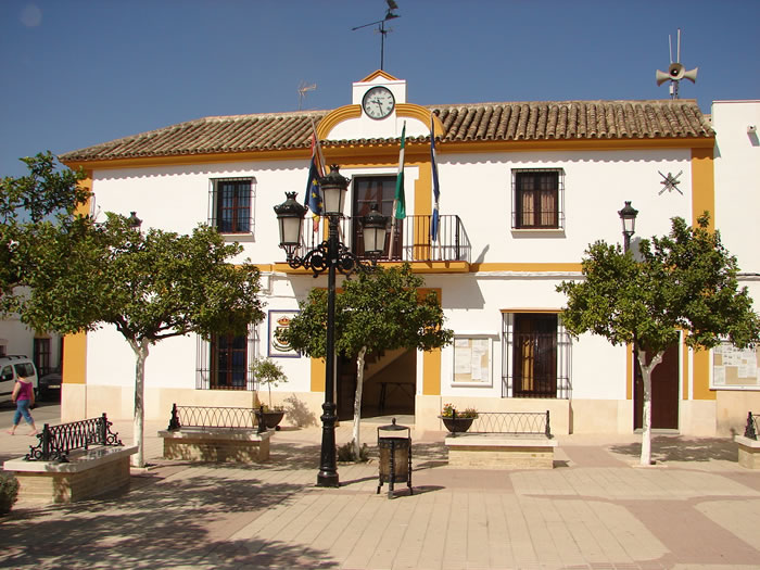
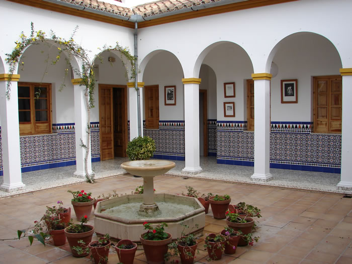
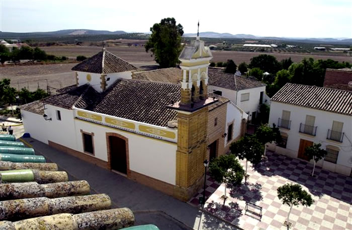
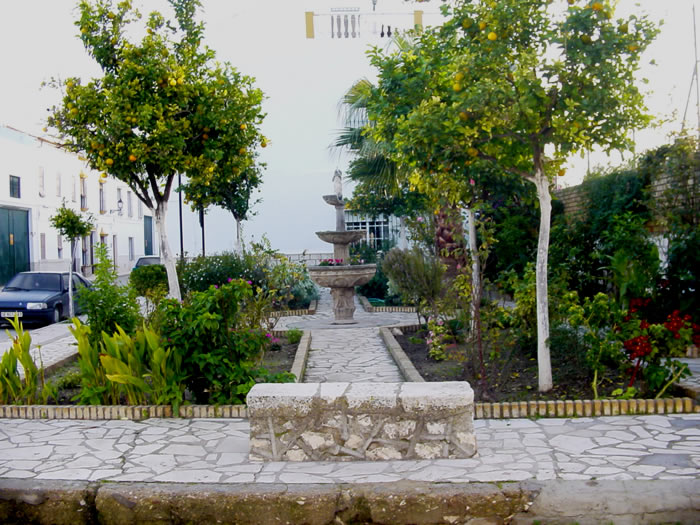
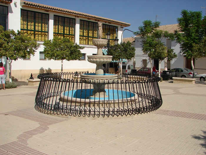
Aguadulce
Small village belonging to the Campiña district located between Osuna and Estepa, near the highway which links Seville with Eastern Andalusia.
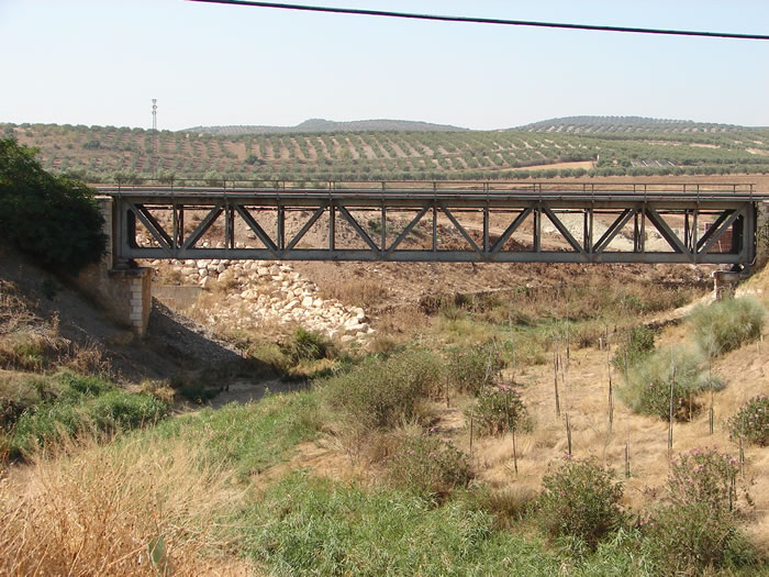
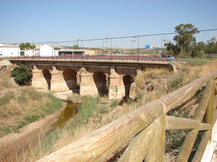
Its landscape consists of gently rolling farmland covered with fields of cereals and olive groves.
History
Its name comes form the Arab Al Wad-Ui, which means "The good river". Its origins date back to the Tartessians, who called their city "Marucca". During the Roman domination it was called Ipora. Under the Visigoths its importance greatly decreased, and its size dwindled to that of a hamlet.
Some authors claim that Miguel de Cervantes spent the night at the tavern near the Blanco river on his trip from Granada to Seville.
The village belonged to the domain of the marquis of Estepa until it became an independent municipality in the 18th century.

- Max 34
- Min 30
- Max 93
- Min 86
- °C
- °F