
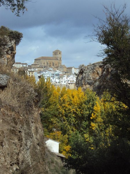
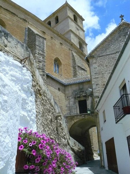
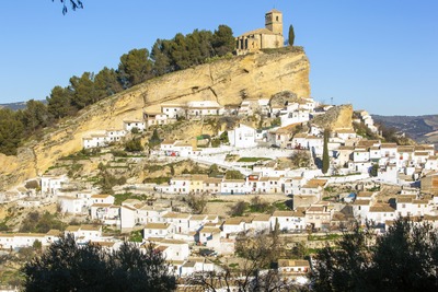
Tajos de Alhama

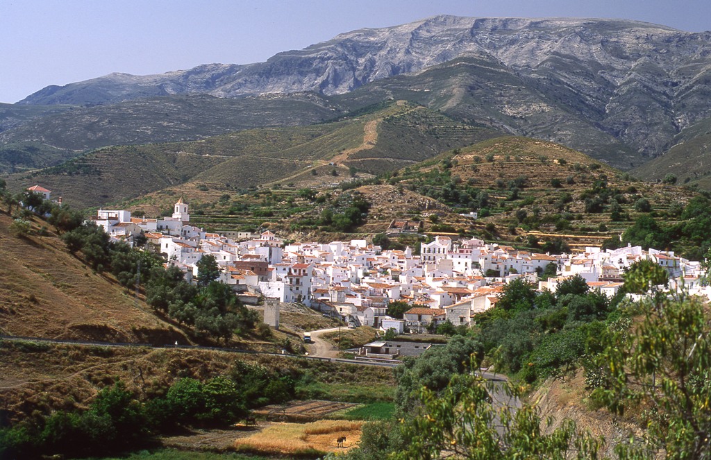
The Tajos de Alhama Natural Monument is alongside the monumental city of the same name, very well-known for the goodness of its thermal water in the Poniente Granadino. Alhama is located in a privileged geographical setting, characterised by the environmental wealth of the Sierras de Tejeda, Almijara and Alhama Nature Reserve, the peaks of which form a natural border between the provinces of Malaga and Granada. Its highest peak, La Maroma (2,065 metres) offers spectacular views of the Mediterranean coast and even the coast of Africa on bright, clear days.
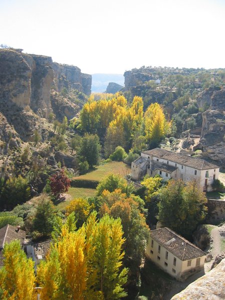
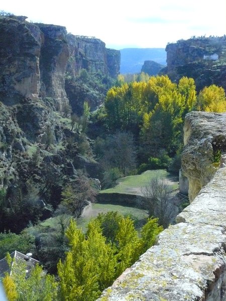
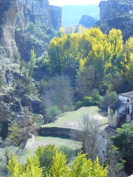
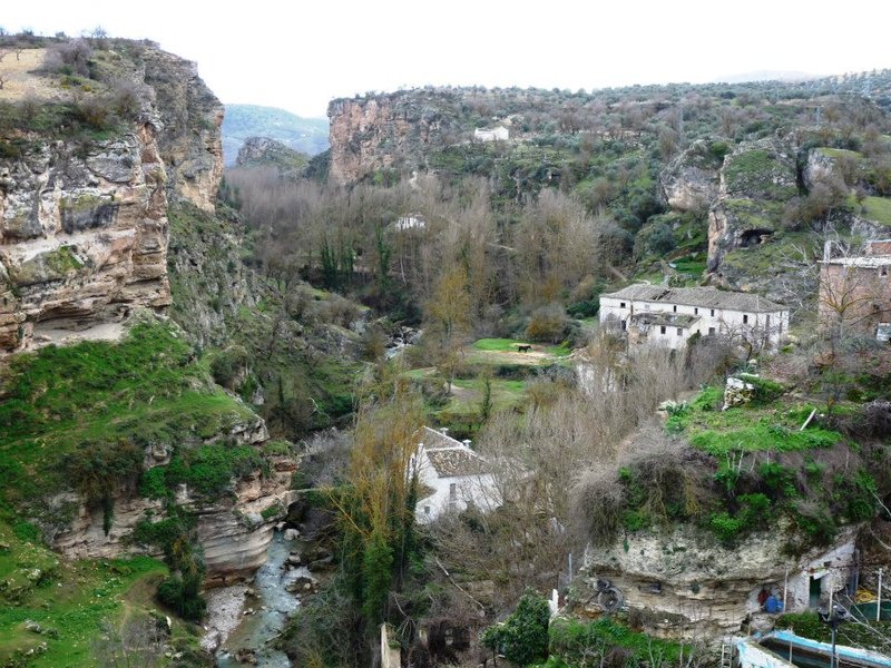
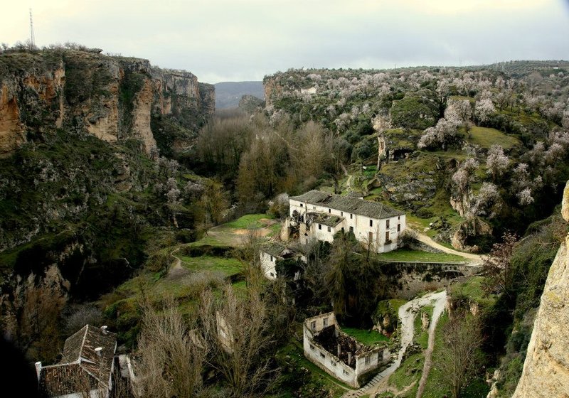
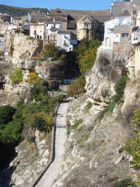
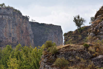
This natural monument is formed by a group of canyons and sandstone gorges, which owe their current state to the erosion of the Alhama river and rockfalls during several earthquakes. They are classified as Excellent Landscape in the General Catalogue of Andalusian Historic Heritage. We can really enjoy the Gorges because they combine two very important complementary features; one natural and one ethnographic.
The Ángeles medieval path runs among its rocks, a very short route or walk, suitable for most people as it is an easy, short route. Ideal for families with small children. This delightful walk takes us to the old flour mills, irrigation channels, poplar groves and the shrine devoted to the Virgin of los Angeles where traditionally the muleteers stopped to ask the Virgin for protection on their journey.

Services and infrastructure
Target audiences
Segments
Environmental units
Statement date
Area (m2)
You may be interested


EXPLORE ANDALUSIA
EXPERIENCES


