
Rivera de Montemayor - Monasterio de Tentudía Trail - PR-A 43

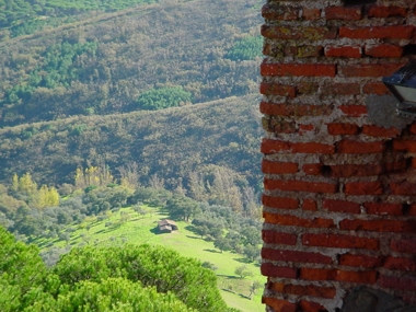
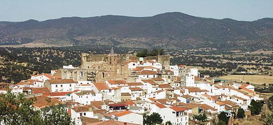
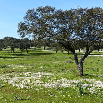
The Rivera de Montemayor - Monasterio de Tentudía Trail - PR-A 43 gives us a panoramic view of the village and takes us through chestnut and oak woods, meadows with holm oaks and cork trees as well as typical landscapes of northern Spain, on our way to the Monastery of Nuestra Señora de Tentudía, the neighbouring town in Extremadura, Calera de León (Badajoz). We pass by the highest point in the district and the province of Huelva, the Cerro del Bonales. The ideal time for this route is in the spring when the oak trees display the crimson red of their budding leaves. The autumn is also a good time to take this path thanks to the pleasant temperatures and the beautiful display of colours on the trees and bushes, some perennial, others deciduous and those which are less marcescent like the oak.
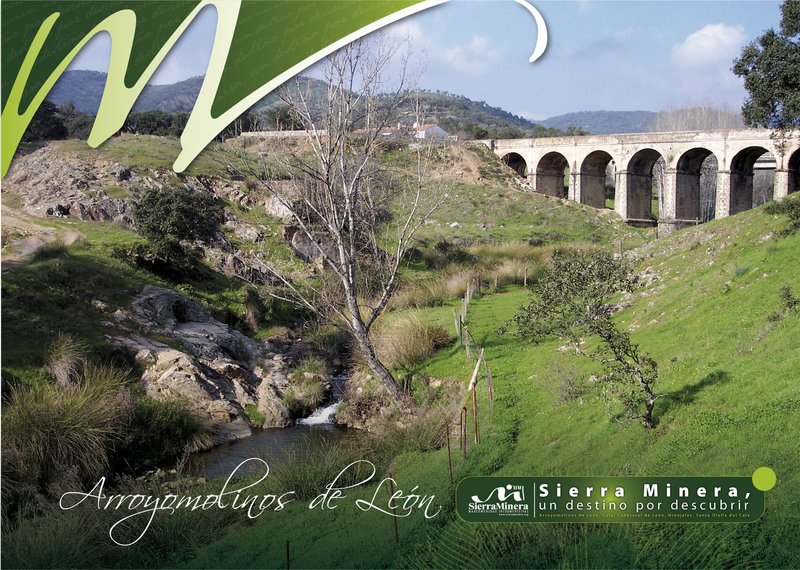
The trail starts at Kilometre Point 5 on the main road from the Vertedera or the Papúa, which partly links Aracenawith Cañaveral de León. At this point, the main road crosses the Barranco de Montemayor by a bridge, the track starts near the riverbank and continues upstream until it turns away from the bank and continues between walls. About 5.5 km from the starting point we come to a crossroads where we must turn right.
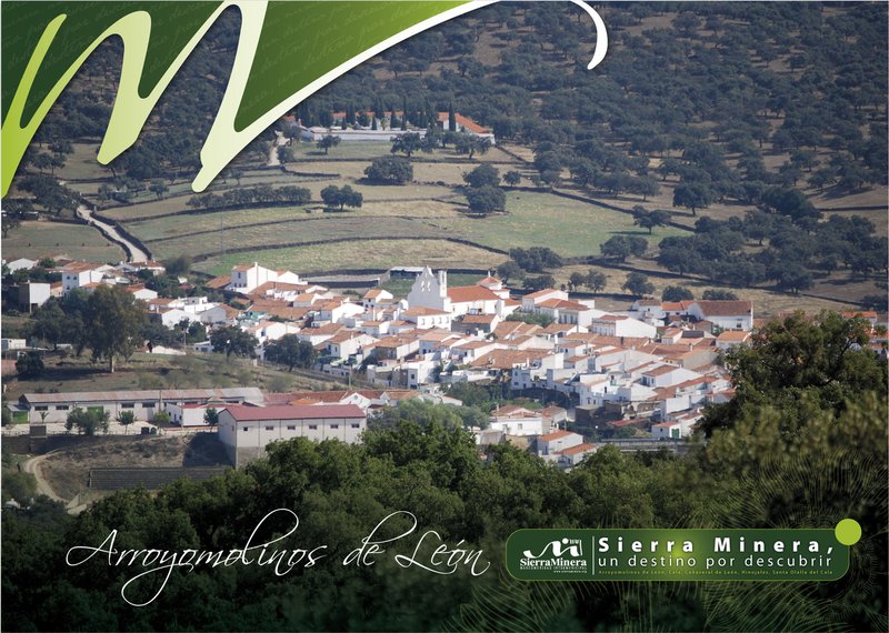
We continue along a narrow road for almost four kilometres, until we come to the asphalt track which we take climbing up to the left. At the next junction we turn off to the right. After about one kilometre we turn into a cobbled street on our left, and continue on it until we cross over the Mari Prado stream, and then carry on until we reach Arroyomolinos de León via the Calle Aracena.
In Arroyomolinos de León we cross a side street to reach the Calle Alcalde Márquez and then the Plaza de la Iglesia where we take the street on the right which brings us to the to path to the cemetery.
The cobbled path climbs upwards, at the next junction we turn off to the right and climb up to the Puerto de la Gila.
From the tracks flattens out and soon starts to climb again. When we cross the stream of the Valle de Mora, we will pass by the Cortijo del Portugués. A little further along we pass through a gateway and carry on straight ahead until we reach the Casa de los Bonales and continue on up to the Puerto de los Ciegos pass, where we reach a paved road. We turn right onto it where we'll be able to see the Monastery of Tentudía. We continue for just over a kilometre, taking the second exit from the track, with a steep slope, cross the road that climbs up to the monastery which we reach after a few metres and which marks the end of this trail.
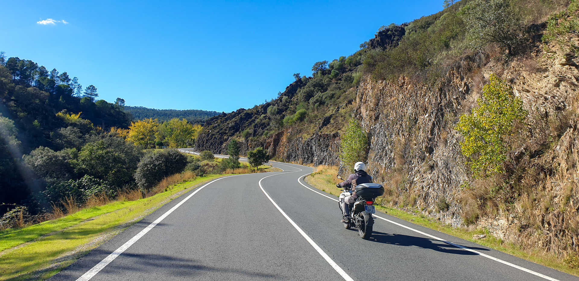
Type of Trail: Linear Trail Status: Approved and Signposted 1994. Total Distance: 22.3 Km (one way) Legs: 1 Accessibility: Suitable for walking, horseback and mountain bike. Download Brochure
Itineraries
Services and infrastructure
Target audiences
Segments
Season
You may be interested


EXPLORE ANDALUSIA
EXPERIENCES


