
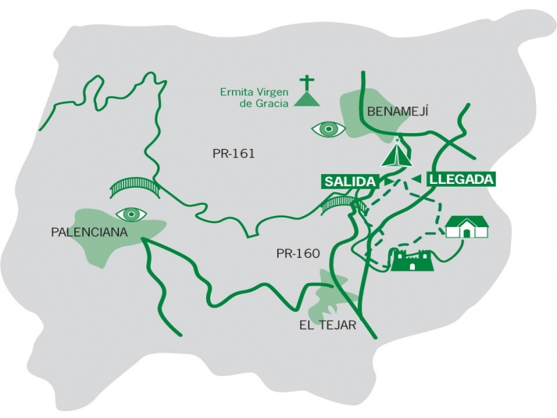
Caños de Benamejí – PR-A 160 Trail

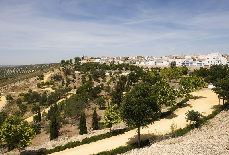
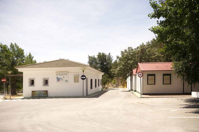
The Caños de Benamejí Trail – PR-A 160 starts beside La Piscina bar, attached to municipal camp site, “Los Caños” in Benamejí. The path descends gently to the shade of a pine grove with a beautiful view. Soon we will find a small vertical drop on our left, so you must pay special attention. It is a cave known as Peña Parda cave.
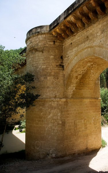
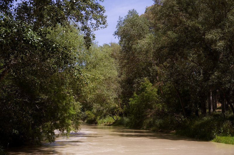
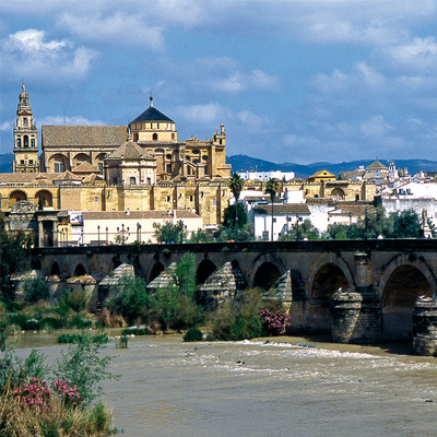
Then there is a passageway between cliffs, from where you can admire theRenaissance bridge (16th century) and the undergrowth of the Genil Riverwill take us to the Gresante stream.
We will pass by the ruins of a farmhouse and can stroll beside the river, with varied vegetation where some aquatic bird species nest. We will reach the spectacular bridge of the Malaga road and at the remains of an old waterwheel, we will begin to ascend what was once the Arab castle, Gómez Arias, and opposite is the medieval tower, known by the Hacho site.
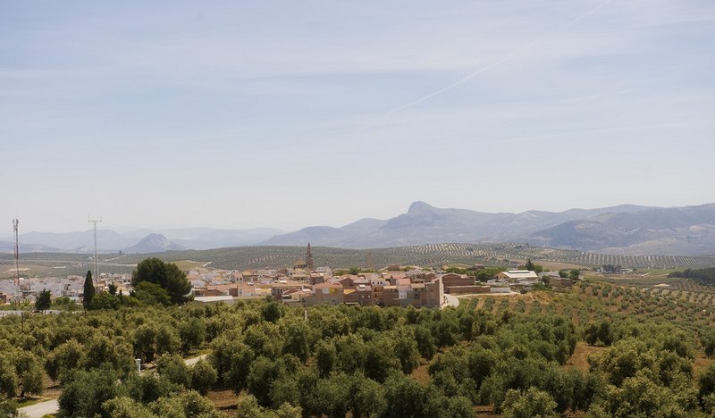
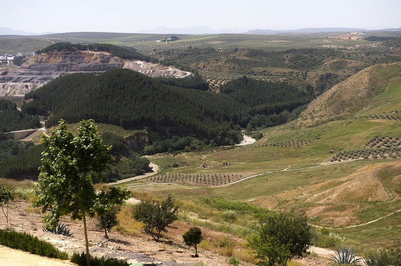
The path runs between vegetable gardens and a former quarry. After some junctions, we will get to a paved road and the Molina farmhouse. We turn left and stroll through it, among olive and pine groves, until we return to Los Caños campsite in Benamejí.
Type of Trail: Circular. Trail Status: Approved and Signposted 2002. Total Length: 4.8 km. Sections: 1 Accessibility: Suitable for walking, horse riding, 4x4 vehicles and mountain biking. Download Brochure
Itineraries
Services and infrastructure
Target audiences
Segments
Season
You may be interested


EXPLORE ANDALUSIA
EXPERIENCES


