
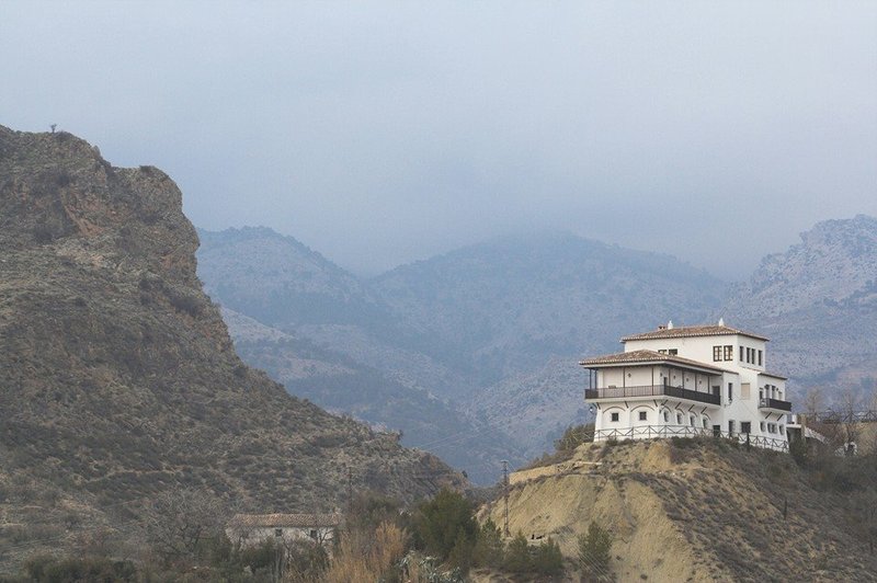
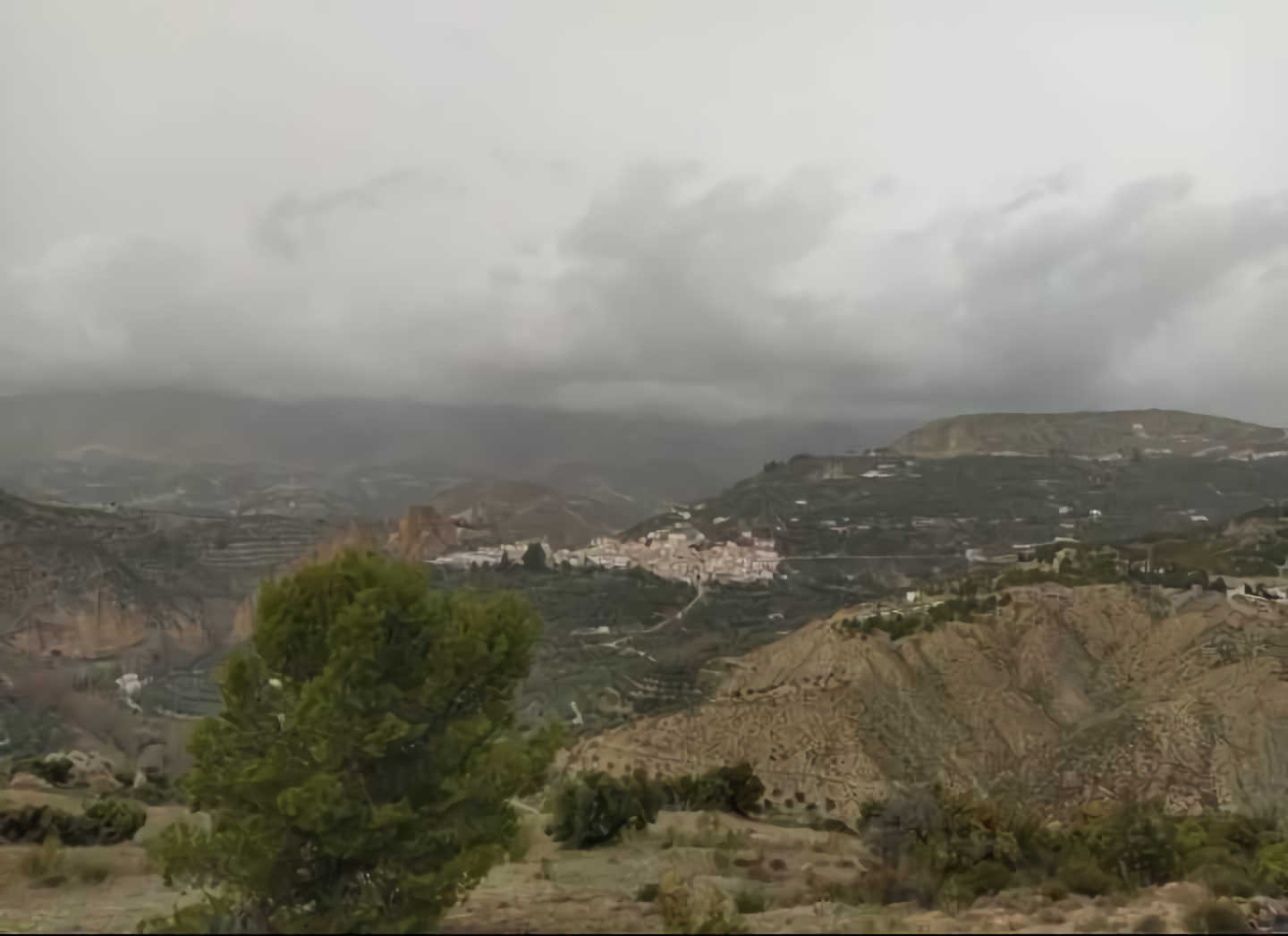
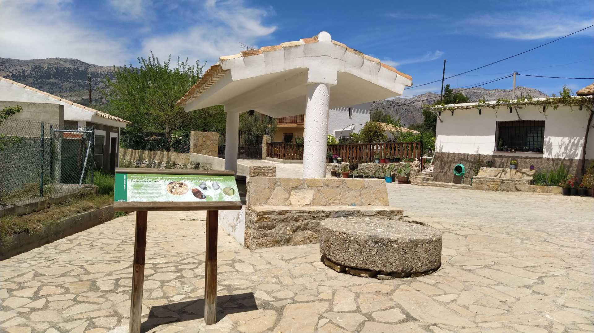
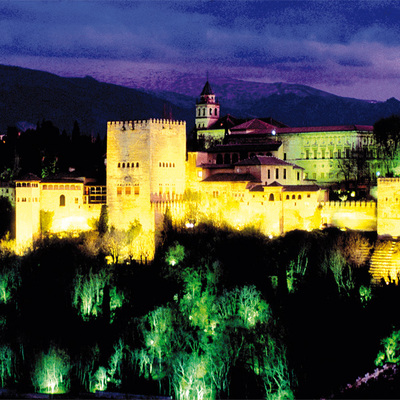
Monte Público La Salobre - Almontaras
Declared a public utility mountain in 2010 with code GR-30071-AY, with a surface area of 607.26 hectares, with a maximum altitude of 1020 and a minimum of 800 metres.
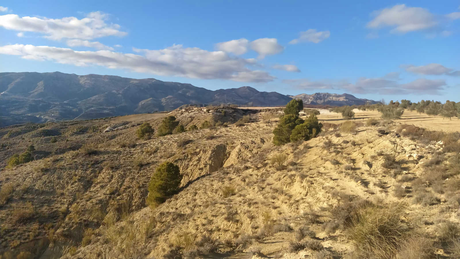
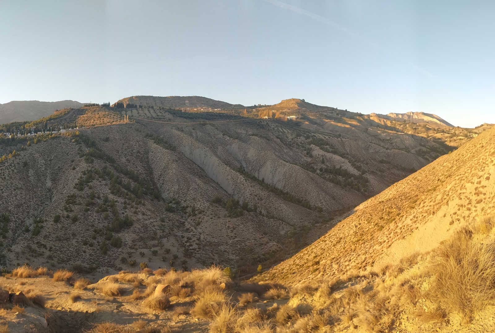
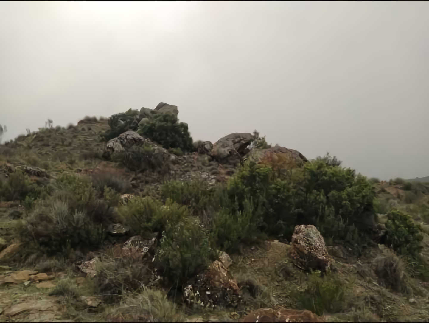
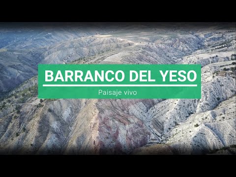
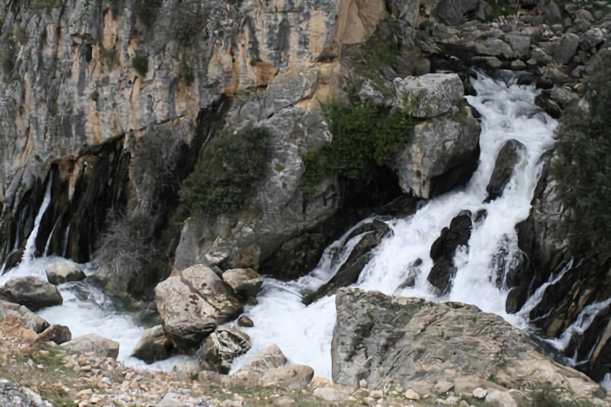
The ravines of La Tejera, Barranco Gallego, Barranco Aguasal and Barranco del Yeso, among others, stand out.
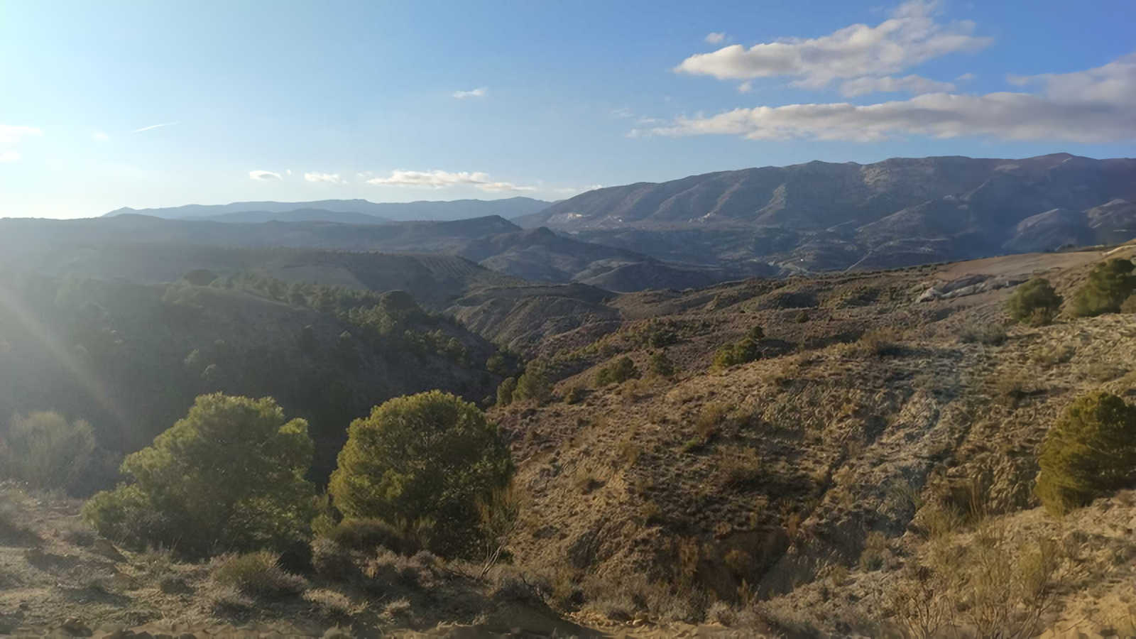
Bad-land erosion forms appear in the sedimentary terrain of the high plateau, to the south, excavated by ravines. The forms of the relief of hills or plains are almost non-existent in these mountains.
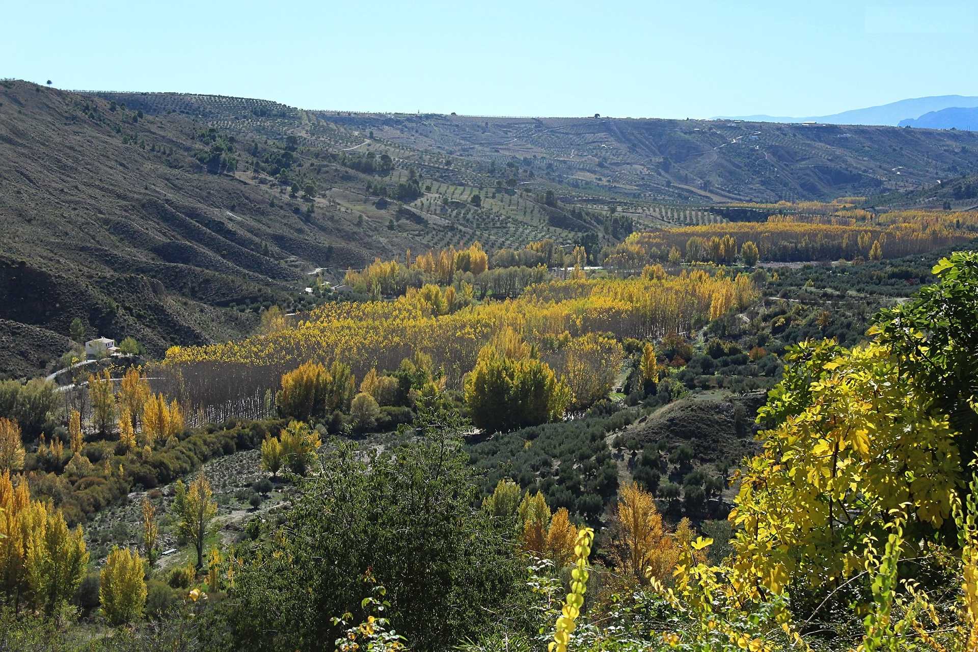
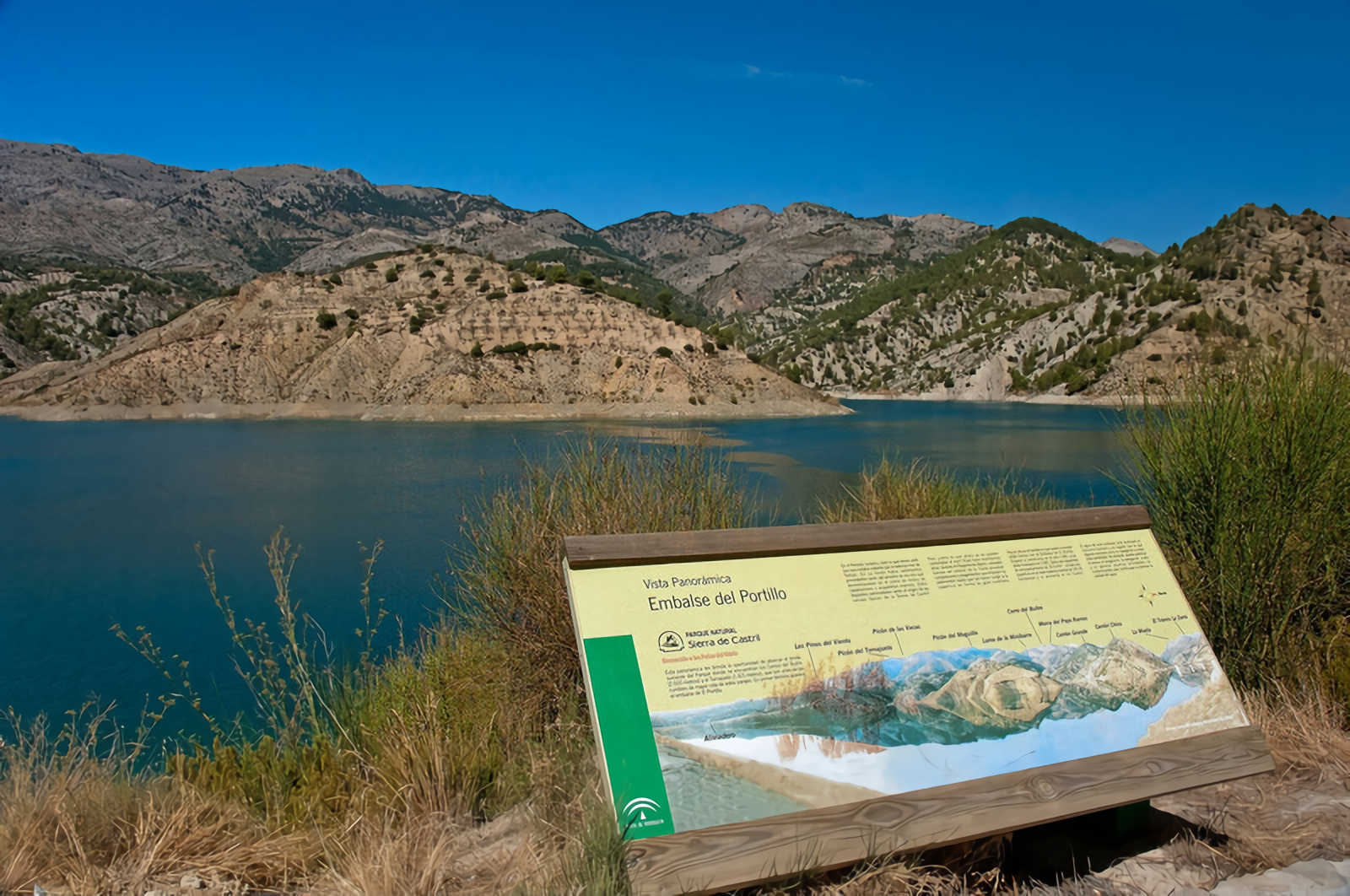
La Salobre and Almontaras belong to the Castril basin. The main watercourses that cross this mountain are the Tejera stream, to the north (La Salobre area), and the Yeso ravine, to the east and south (Almontaras).
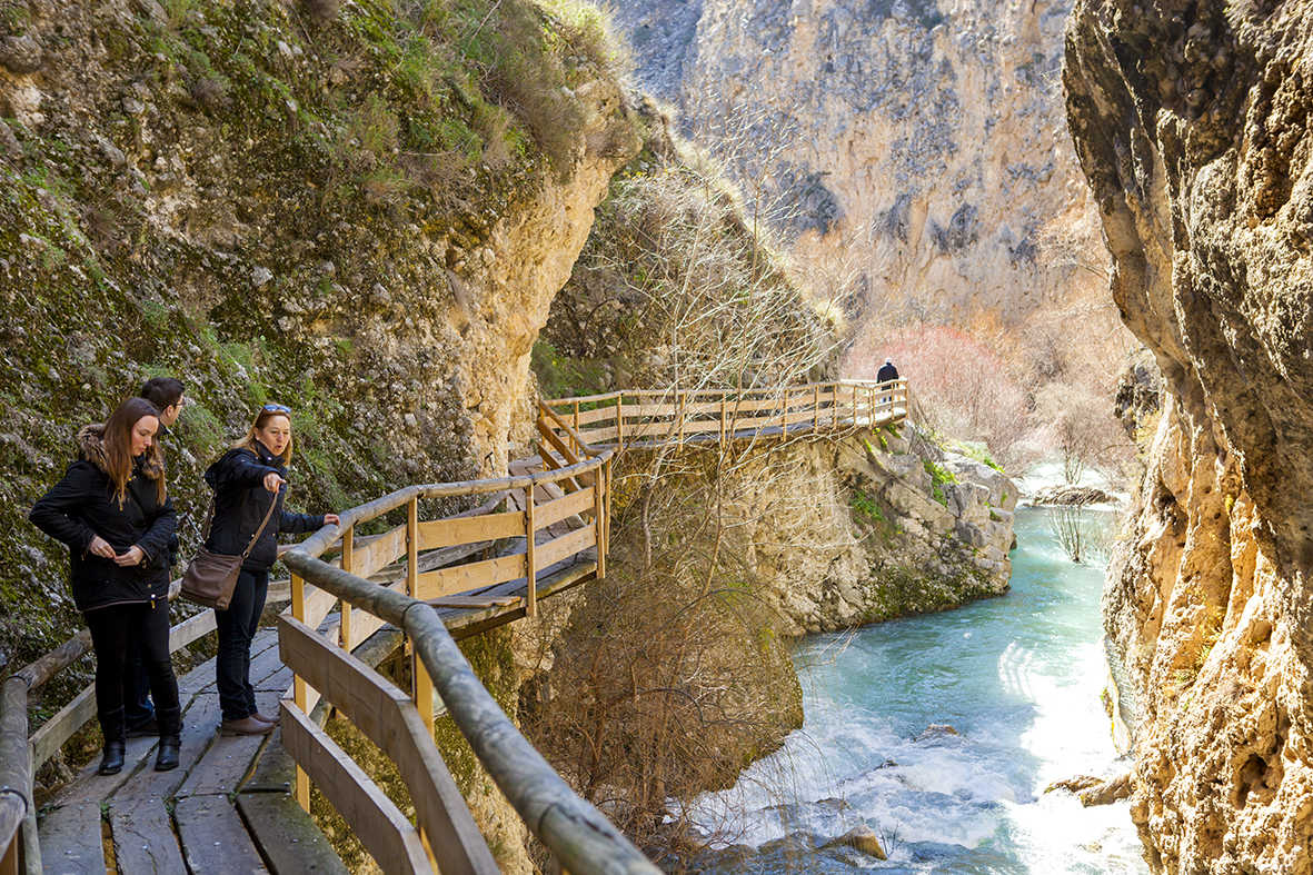
The Barranco del Yeso, located in the town of Almontaras (Castril), is an exceptional landscape, geological and cultural site.
Since 2020 it has formed part of the UNESCO World Geopark of Granada.
Services and infrastructure
Target audiences
Segments
Type of activity
Season
Environmental units
Statement date
Area (m2)
You may be interested


EXPLORE ANDALUSIA
EXPERIENCES


