
Estación de Vuelo Libre de Sierra de Fates - Tarifa

This ridge runs from the town of Facinas to the Sanctuary of Light (Tarifa) and the flying site is located to the northeast of Las Casas del Porro (Tarifa).
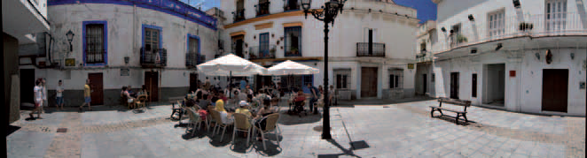
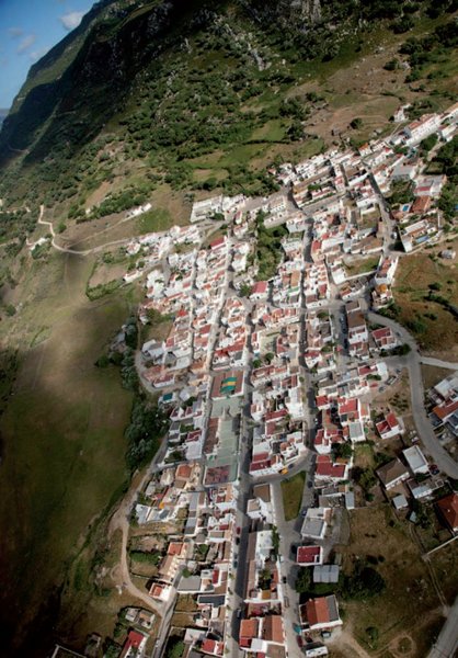
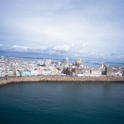
Facinas, a beautiful village in the municipality of Tarifa, is situated in the Campo de Gibraltar region, very close to the coast but with a distinctly mountain feel to it. It perches at the south-west end of the Béticas mountain range, on the northwest edge of the Sierra de Saladaviciosa mountains, which together with the Fates and Enmedio ridges form the range that cuts across the municipal district of Tarifa.
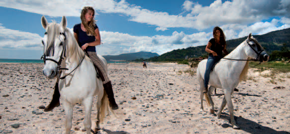
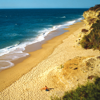
Tarifa, Europe's most southerly city, is open to two seas and the municipality has almost 38 Km of beaches, many of them with shallow water and fine sand. An outstanding spot, and a protected area, is the Los Lances beach which is a zone of beach, dunes, pine woods and wetland. Part of it is located in the Parque Natural de Los Alcornocales.
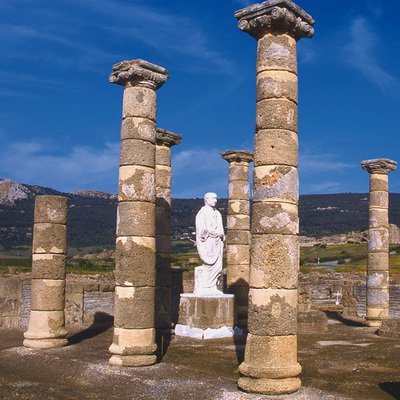
There are many sights to be seen here, including the Ensenada de Bolonia, a beautiful area that is the site of the ruins of the Roman factory of Baelo Claudia.
Climate
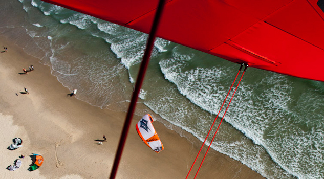
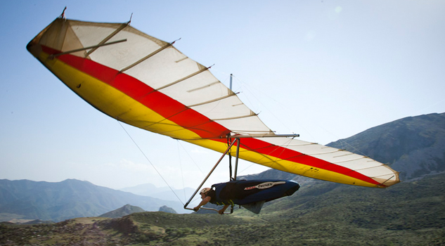
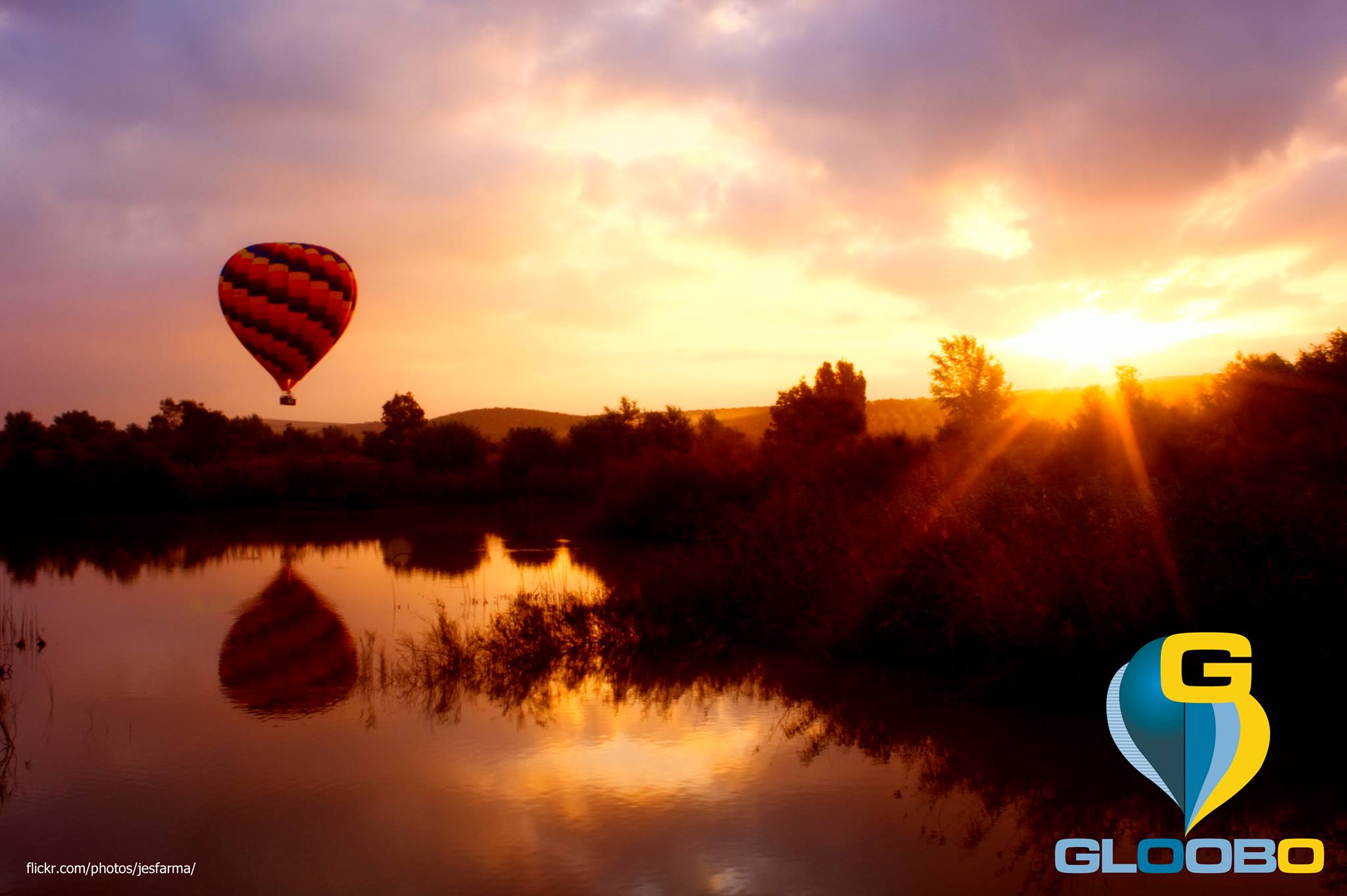
Here, winters are mild and summers are pleasant: perfect for good flying. The area is suitable for all levels of pilot, with a launch site this is totally free of obstacles. Flying offers some wonderful panoramas, with views of the Playa de Valdevaqueros beach and the African coast.
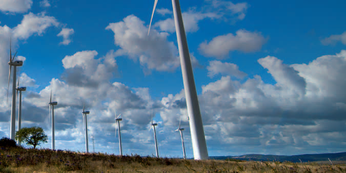
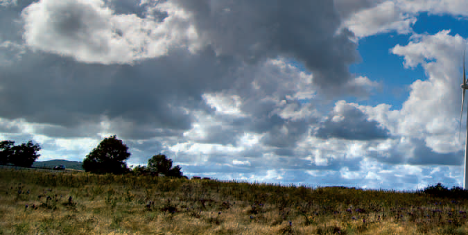
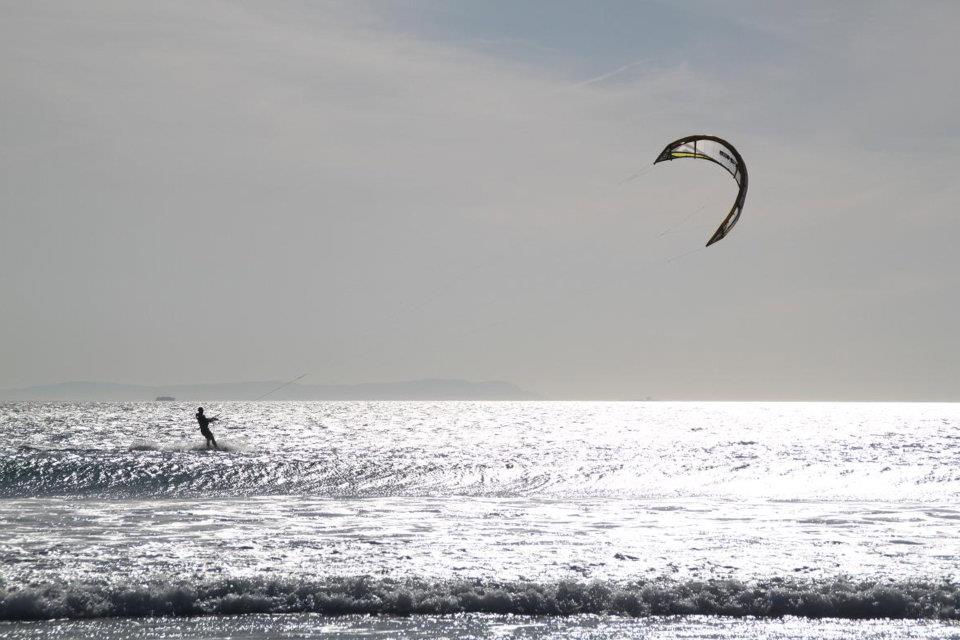
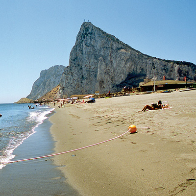
Launch sites Launch site Coordinates: 36º 05’ 45’’ N / 05º 39’ 31’’ W. Orientation: West and southwest. Altitude: 510 metres. Drop: 510 metres. Dimensions: 1 or 2 broad natural ramps with no major obstacles. Access: The launch site can be accessed using the track leading to the wind turbines on the summit of the ridge, going from the N-340 road towards Tarifa, passing the Punta Paloma junction on the left. The access track is in good condition. There is no official car park, but it is possible to park at the side of the access road. Facilities: Natural launch ramp. Precautions: * There can be very strong winds on occasions. Landing sites There is no official landing area, and landing is usually carried out in the fields near the Los Caños road, the A-2230. Paragliders usually land near the La Oliva bar, which is on the Vejer roundabout. Hang gliders land on the Los Caños road. Landing site (Playa de Valdevaqueros beach) Coordinates: 36º 03’ 59’’ N / 05º 41’ 07’’ W. Access: A dirt landing strip that starts at the N–340 at Las Casas del Porro or at the entrance to Valdevaqueros. Altitude: Sea level. Parking: There is a large area to park where windsurfers park their vans and campervans. Obstacles: No major obstacles on the beach, except the kitesurfers. The parked vehicles themselves in the car park and there is a medium-voltage power line near the road.
Services and infrastructure
Target audiences
Segments
Type of activity
Season
You may be interested


EXPLORE ANDALUSIA
EXPERIENCES


