
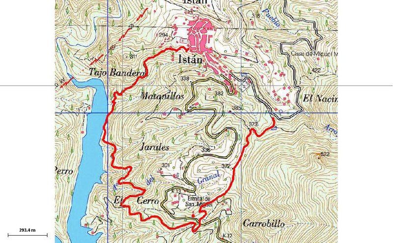
Circular Istán – Camino de la Cuesta Trail – PR-A 137

The Circular Istán – Camino de la Cuesta Trail – PR-A 137 allows you to go down to the far end of the reservoir, where it meets the River Verde, enjoy its valley and the San Miguel shrine and relax in the adjoining recreational area.
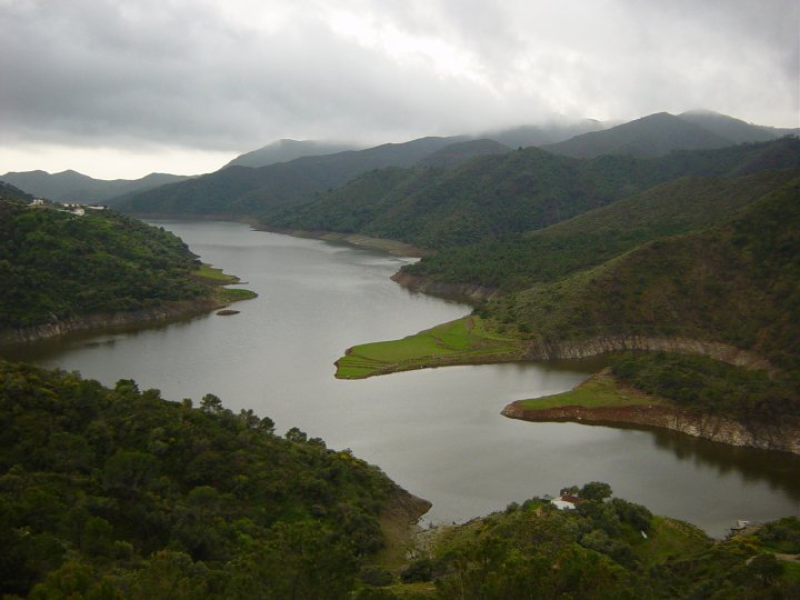
The PR-A 137 starts at La Hoya, at the end of the street Calle Río de Istán, which after a few metres turns into a country track known as the Camino de la Cuesta. We will ignore the junctions with small paths that we will come across along the way, and continue on along the main path as it descends. At the start of this route we will see, below and in the distance, the end of the reservoir, which will take us 20-30 minutes to get to.
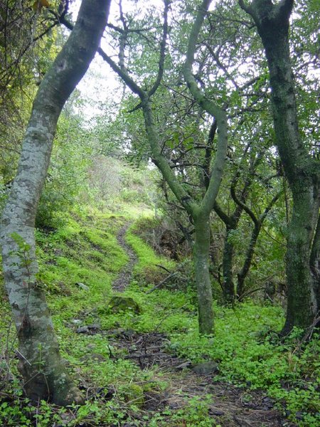
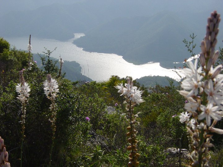
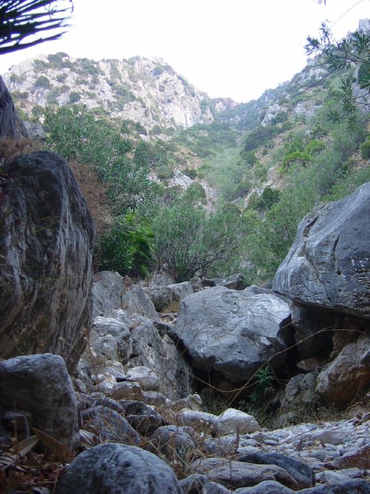
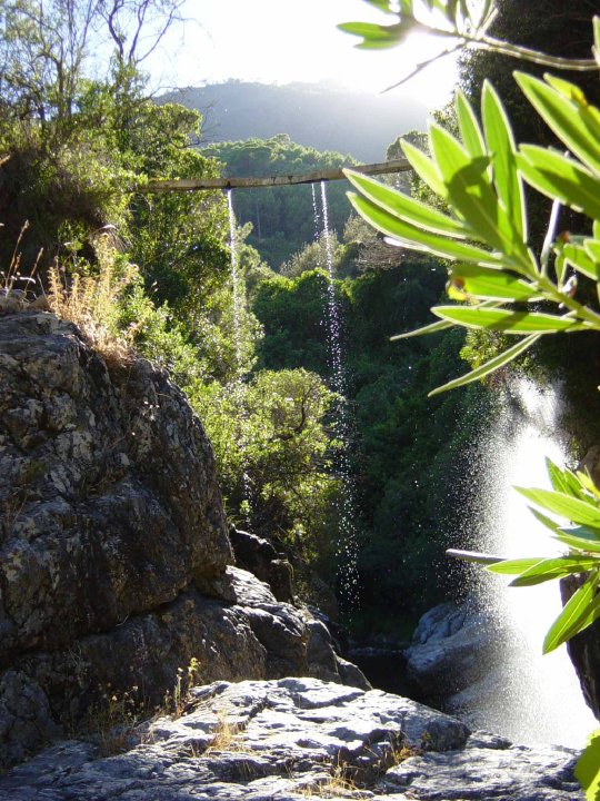
About 800 metres from the start of the route we will find, as the path bends to the right, a very small platform on the left known as El Descansaero, which used to be used to take a break during the ascent, and from where you can see beautiful views of the River Verde valley. A little further down we will come to the reservoir that, depending on the water level, we will go around via the left bank lower down, or else, just before reaching the very bottom, there is a little path that goes off to the left which crosses a gorge, and on the right we can join the Istán-Cañada de los Laureles Trail - PR-A 141.
As we continue to the left after crossing the ravine and climbing up a rock, we follow this path, which we will see uses an old irrigation canal; we will then reach an old track which goes up the side of the reservoir.
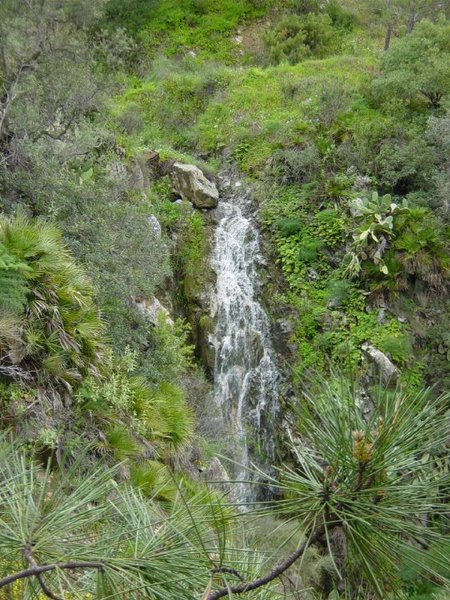
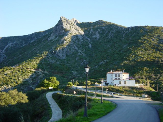
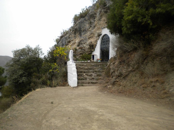
After just over one kilometre going uphill, we reach a main track that, if we follow it up, will take us to the road that runs between Istán and Marbella. Just as we reach this road we will see, above and to the left, the shrine of San Miguel, the patron saint of the village of Istán.
We will cross the recreation area that surrounds it and climb up to the San Miguel shrine where there is a track, which we will take to the right, but before we do we will take the same track but to the left, to an esplanade at the end of the track; from the vantage point on the left we will be able to see one of the best views of the reservoir.
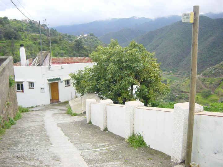
Continue along the track indicated above and after a few metres we will see another track that we will take to the left. After approximately one kilometre, we will reach the neighbourhood of the Hotel Altos de Istán, and then Istán.
Type of Trail: Circular Trail Status: Approved and Signposted 2002. Total Length: 5.3 km. Sections: 1 Accessibility: It can be done on foot. Download Brochure
Itineraries
Services and infrastructure
Target audiences
Segments
Season
You may be interested


EXPLORE ANDALUSIA
EXPERIENCES


