
La Garza - Pozo de San Pascual Trail. Mineras de Linares Routes – PR-A 262

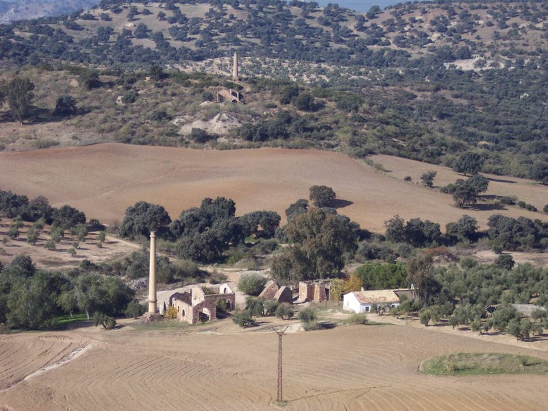
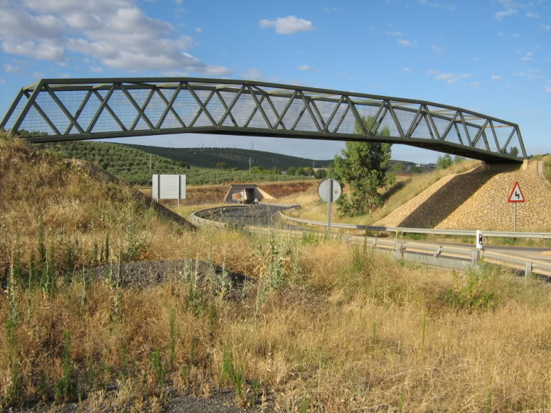
Between olive trees and fields of hundred-year-old holm oaks, in the foothills of the Sierra Morena, we can find the remnants of the mining works in the Linares district
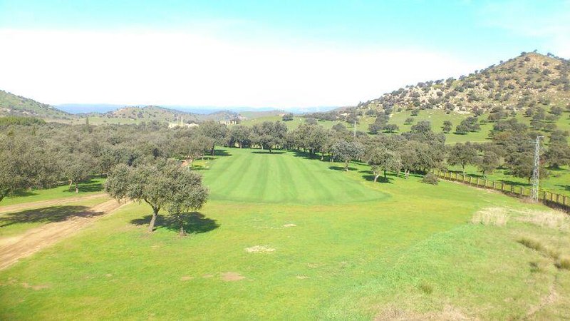
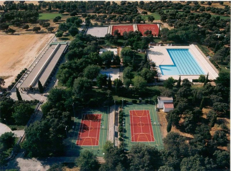
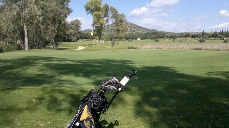
Setting off from the "La Garza" Sports Fields, in the outskirts of the city of Linares, which holds the only golf course in the Jaén province, we go deep into the fertile Las Lagunas valley, where more greenhouses appear every day. At the first houses we will have the option of taking a diversion to visit the San Pascual mine (3.2 km there and back) in the direction of the Fernandina reservoir, an area rich in vegetation.
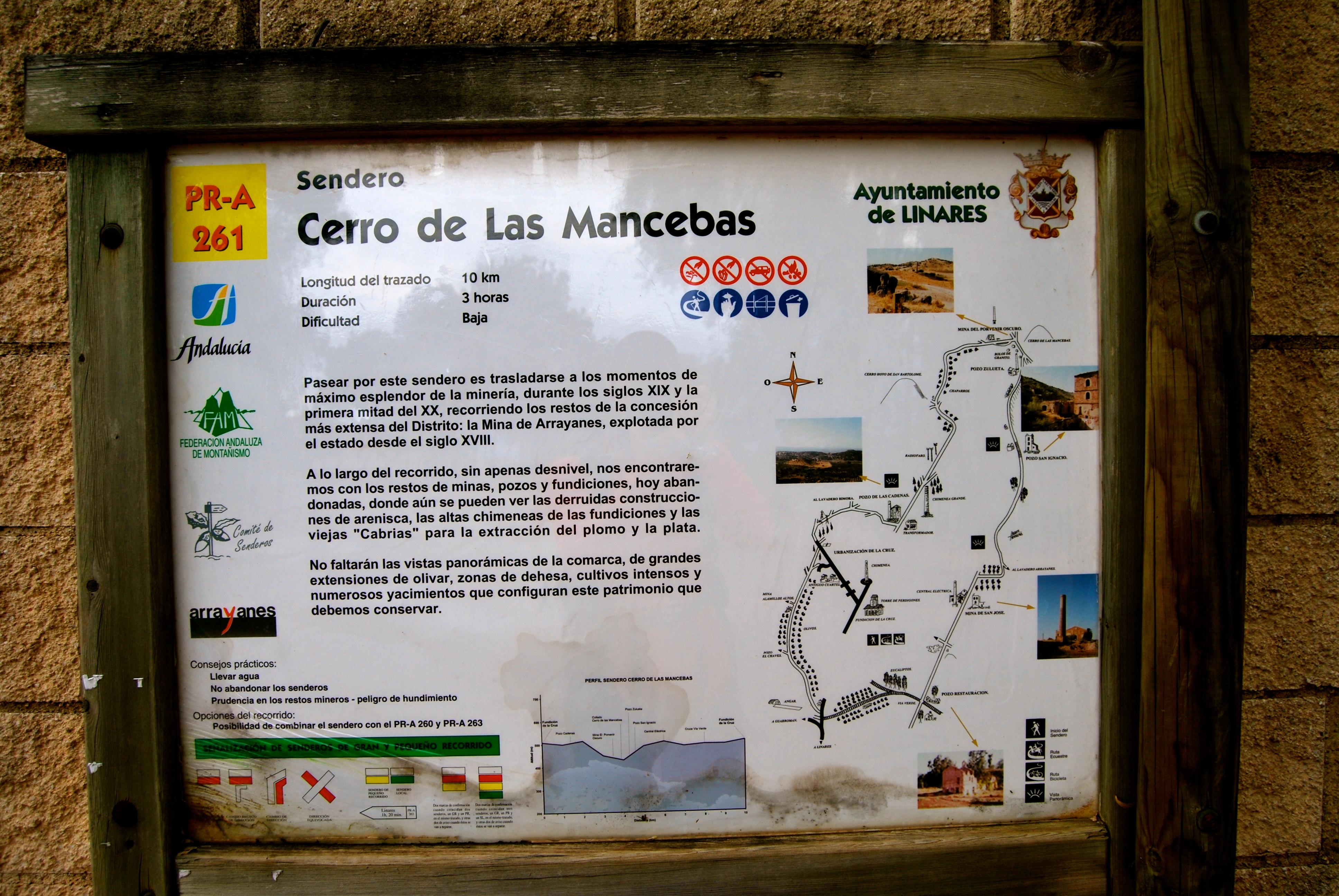
On the way back to the main path we will head towards the pass formed by the Cerro de las Mancebas and the Cerro Paño Pico hills, via a perpendicular route that offers a magnificent panoramic view of this area surrounded by the ruins of mines, whose slender chimneys in particular stand out.
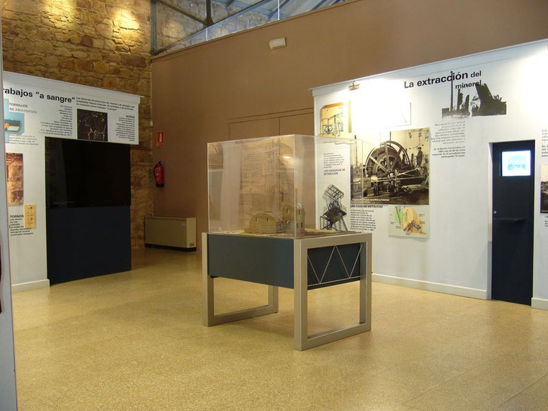
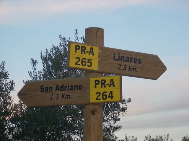
At the junction of the pass we will join the Cerro de Las Mancebas trail, PR-A 261, where the two trails will ascend together towards the left, so that we can enjoy the views and smells of the valley and breathe in the history as we go past the Zulueta and San Ignacio mine shafts and the Lavadero de Arrayanes mineral processing plant, before the two paths separate again. To reach the Lavadero you descend to the left, taking an eroded path at the junction, from where an old decommissioned mine railway line connects it to the Cuesta del Mimbre slope, which has been turned into a wide track frequently used by the quarry vehicles. Here, for a short stretch, the path joins the PR-A 263 which links Linares, from the Linarejos hermitage, with the del Mimbre mine. Taking the track down to the same valley, the trail ends up back at the "La Garza" sports complex without any difficulties.
Type of Trail: Circular. Trail Status: Approved and Signposted 2003. Total Length: 9.3 km. Sections: 1 Accessibility: Suitable for walking, mountain biking and horse riding. Download Topographic Guide
Itineraries

Services and infrastructure
Target audiences
Segments
Season
You may be interested


EXPLORE ANDALUSIA
EXPERIENCES


