
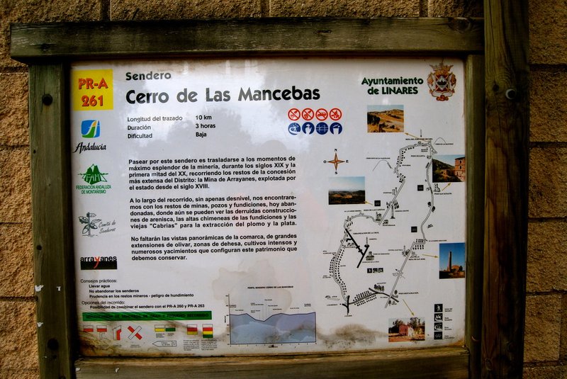
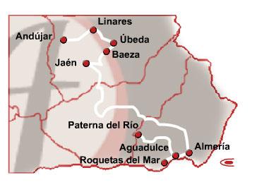
Cerro de Las Mancebas Trail. Mineras de Linares Routes – PR-A 261
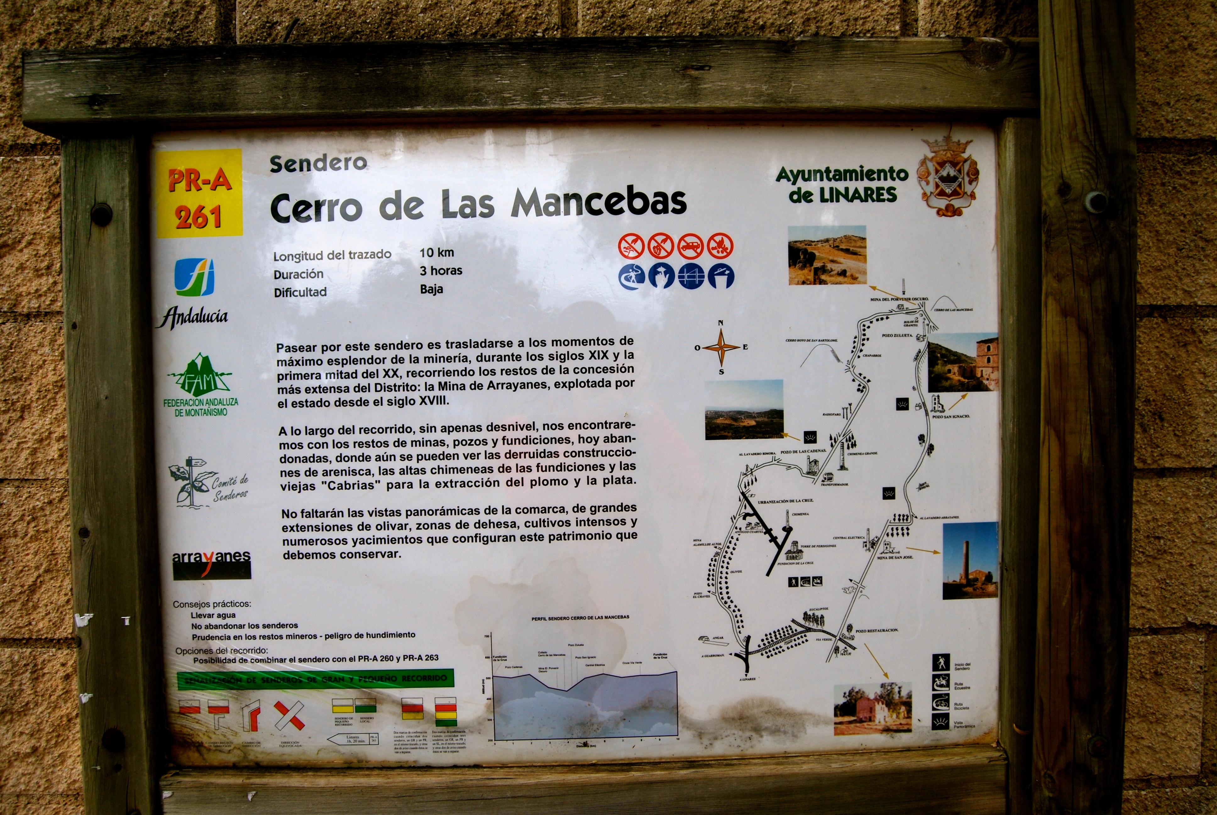
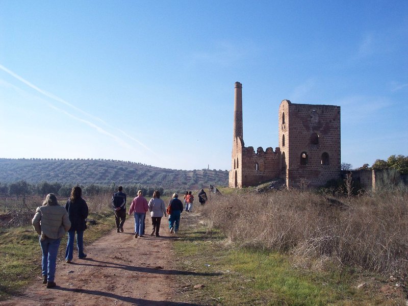
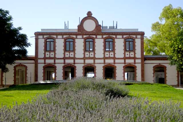
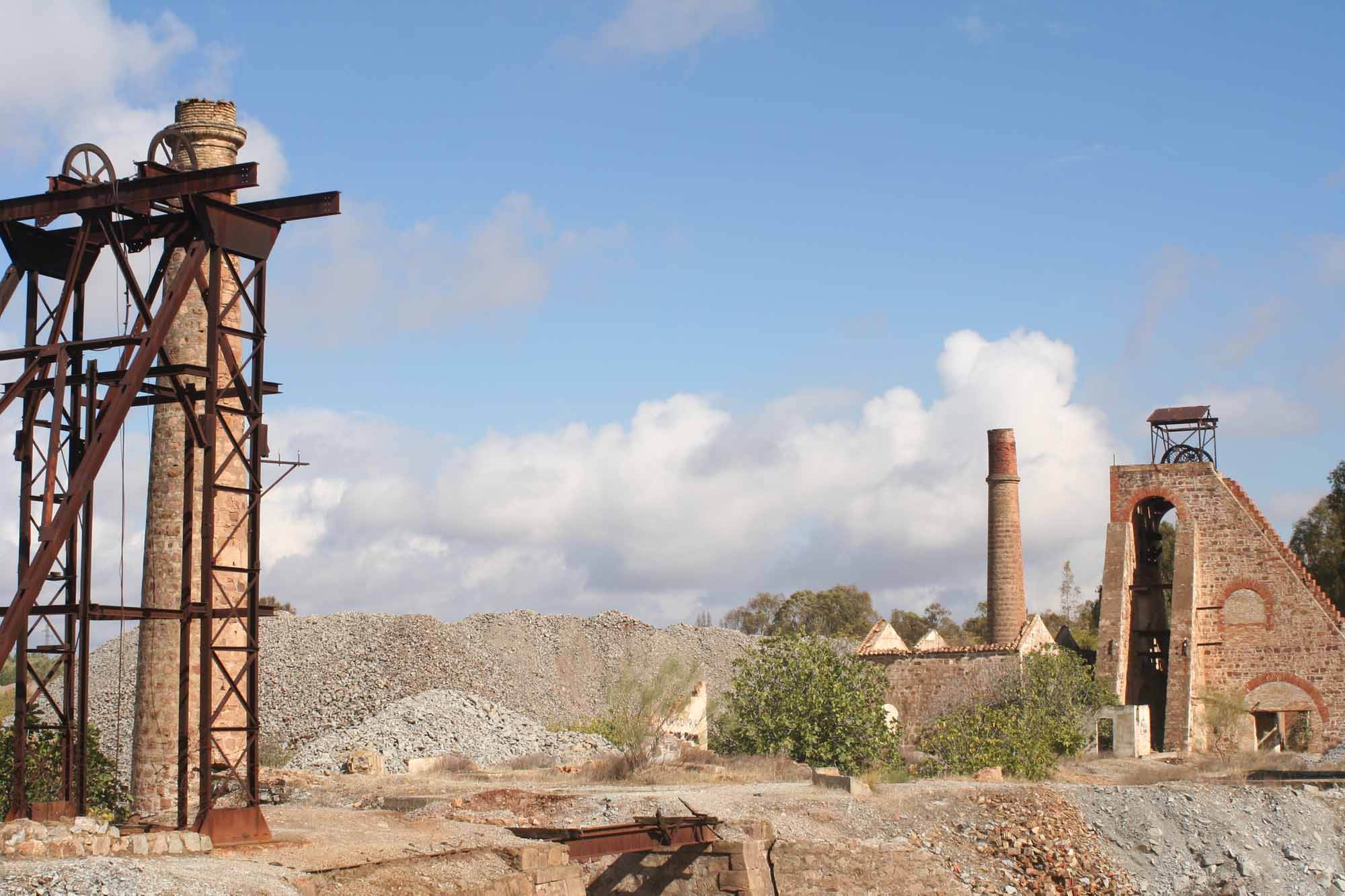
The Cerro de Las Mancebas Trail – PR-A 26, runs through the mining district of the city of Linares, starting at the Fundición de La Cruz foundry, and coinciding with the Paño Pico trail, PR-A 260. We head towards the Pozo Cadenas mine shaft, which you reach after going past an old Civil Guard Barracks and the Lavadero de Mineral Bimora, a mineral processing plant. After the Chimenea de la Cruz chimney, which used to be 100 metres tall (and today stands at 57 metres), the trails separate.
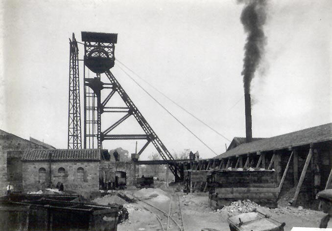
The route turns to the left and gradually descends between dwarf oaks, past some aerial navigation antennas, where you can enjoy some pleasant panoramic views. The descent ends at the crossroads of the Cerro de las Mancebas and Paño Pico trails, near the El Porvenir Oscuro mineshaft. We continue on the left until we reach the pass that connects the trail with the Garza trail, PR-A 262. We climb up via a path whose beauty and history, with its mining ruins, is intoxicating: The Zulueta and San Ignacio mine shafts, and the Lavadero de Arrayanes mineral processing plant, as well as views of the valle de las lagunas valley.
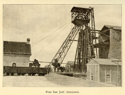
At the Lavadero de Arrayanes we leave the Garza trail to continue up a slope until we reach the San José shaft and the electricity plant, where the route joins the Paño Pico trail once again, up until the Restauración shaft, where they divide again, following the Minas de Plomo Greenway, a disused railway path. About 100 metres from this point, the railway path branches off (1). The left leads to the road to the Fundición de la Cruz foundry, which we will follow for 20 metres before taking a lane on the left, by some ruins, that leads to an airfield. There are two small lanes just off the trail, both on the left, which are interesting if you have the time. The first leads to the Chaves mine shaft and the second to the Mina de los Alamillos mine, where you can enjoy some unbeatable views. Further on is the residential area de la Cruz, where we are back to the start of this mining route.
(1) This fork in the Greenway that goes off to the right is a shortcut to the Fundición de La Cruz if you do not have much time to complete the marked route.
Type of Trail: Circular. Trail Status: Approved and Signposted 2003. Total Length: 10 km. Sections: 1 Accessibility: Suitable for walking, mountain biking and horse riding. Download Topographic Guide
Itineraries
Services and infrastructure
Target audiences
Segments
Season
You may be interested


EXPLORE ANDALUSIA
EXPERIENCES


