
Ronda – Pilar de Coca Trail – PR-A 71
We should start the Ronda – Pilar de Coca Trail – PR-A 71from alongside the covered municipal sports centre, very near to the Regional Hospital of the Serranía and the Ronda exhibition centre, alongside of which runs an asphalt track which we should take. We take the bridge over the Toma stream and the asphalt soon finishes, this is where we start the gentle climb up the Cerro de la Pastora, between a row of mulberry bushes and plane trees. We'll often come across old milestones (red and white in colour) belonging to the GR-243 long distance trail of Sierra de las Nieves, which crosses the entire Sierra de las Nieves Biosphere Reserve.
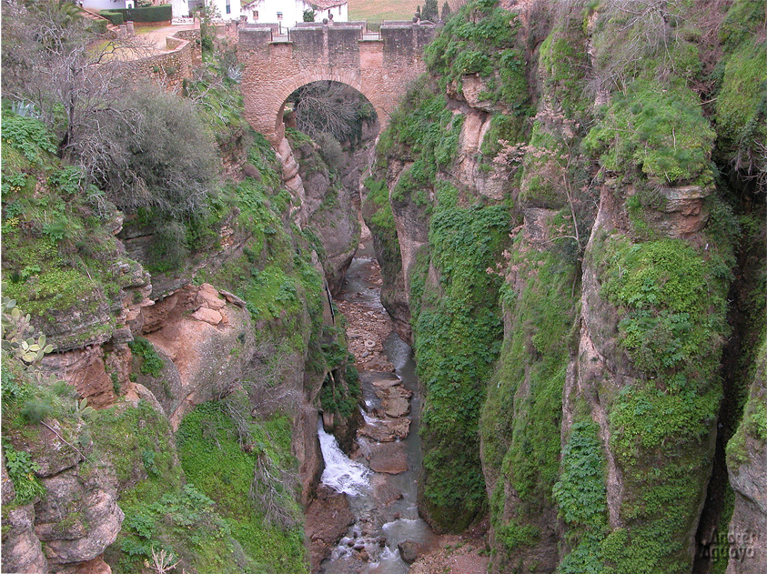
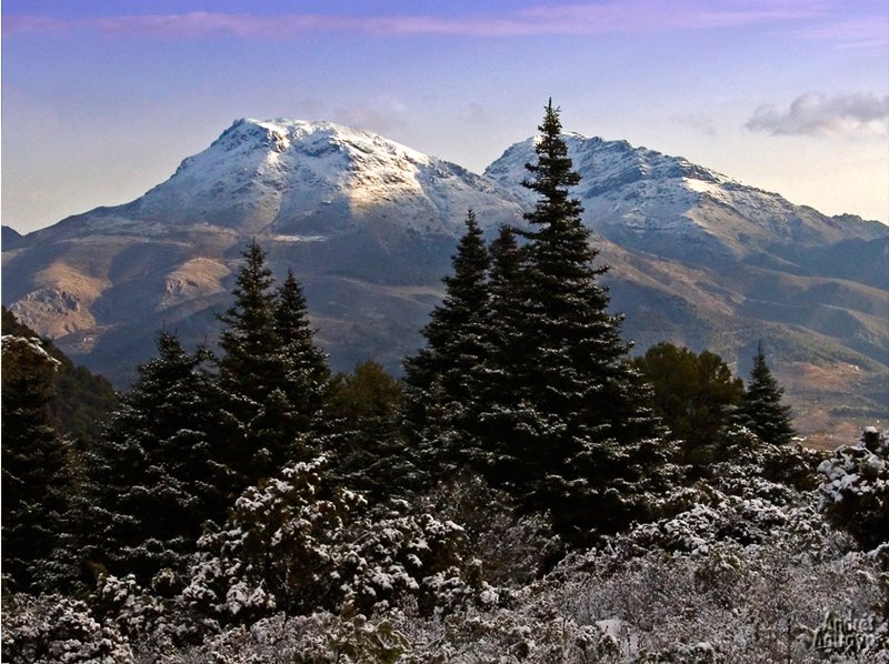
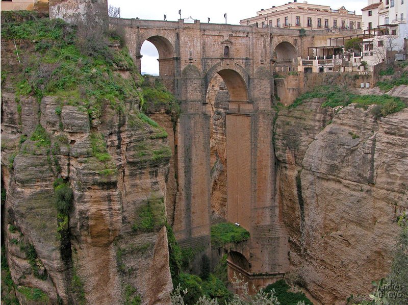
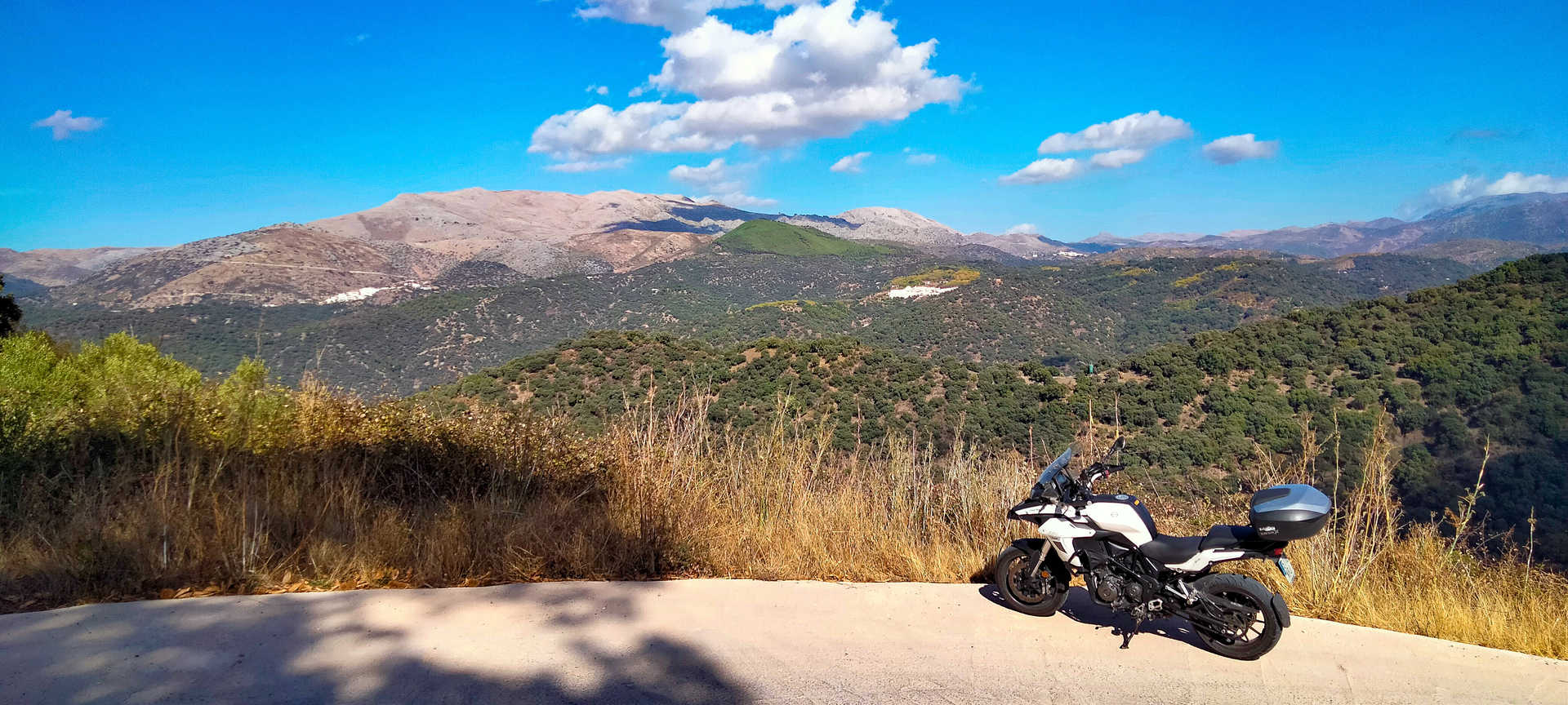
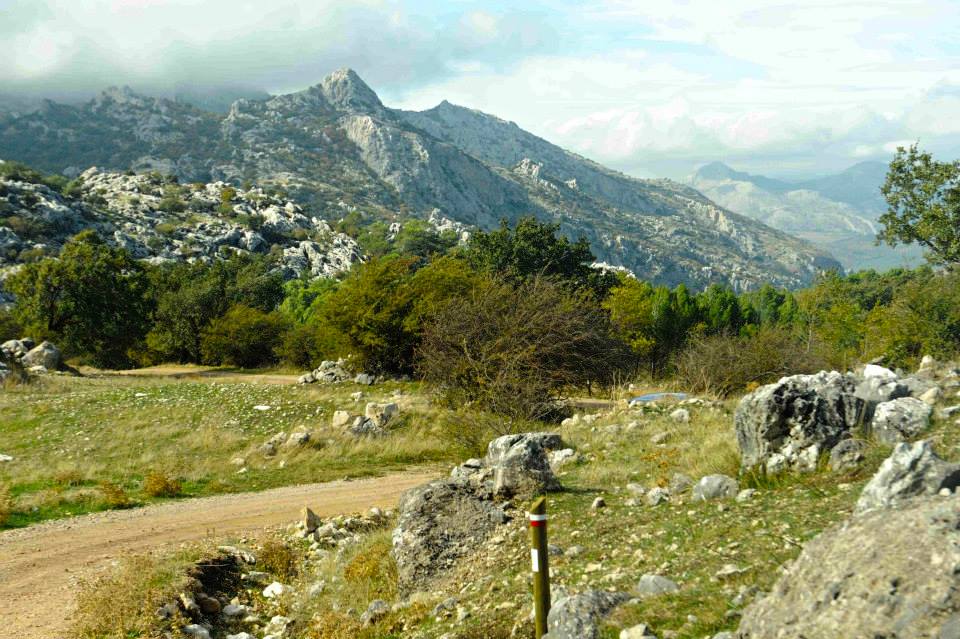
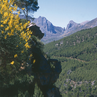
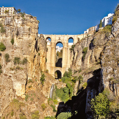
Before we even realise it, we reach the top of the Bilbao pass, where a great expanse of crop fields known as Llanos de Aguaya opens at our feet. In the distance we look down on the Sierra Hidalga mountains, crowned by the popular Peineta (1,504 m) to the right of which we see some telephone aerials and as we come down the hill we glimpse the Guadalevín River, which has carved an impressive canyon in the limestone rock. A little further to the south stand the steep cliffs of Pompeyo (1,222 m). The small peak located at the other end of the plain is the Carramolo del Queso (1,322 m).
We now descend to the wide plain occupied by fields of cereals, small plots of olive groves and the occasional vineyard. We have already covered a little over two kilometres when we pass beside the La Venta farmhouse, previously called the Venta Ramirón, to the left of this house is the track which we should take. We have left the Yunquera Road and we continue along the drovers' trail called the Path of the "Pescadores" (Fishermen), first between open fields and then, after passing alongside the farmhouse of La Nava or La Cazuela, through the oak forest of the Coto Cortina, an example of what was the original landscape of these agricultural fields near the city. The vegetation is made up of broom bushes, cistaceae, thyme bushes, gorse, etc.
We continue along the main path, avoiding the side tracks leading into the mountains. Our next stop is the drinking trough of the Pilar de Coca, an important milestone along the paths, since this is where the Path of the "Pescadores" and the Path of the Capitán meet. We can refresh our drinking water from the old drinking trough.
Above the trough there is a cistern in poor condition and to the we find the Camino del Capitán, where we continue the route. This new section of the route gives us magnificent views of the Llanos de Aguaya and the mountains surrounding the Plateau of Ronda which include, to the south, the Armola, the Jarastepar and Ronda.
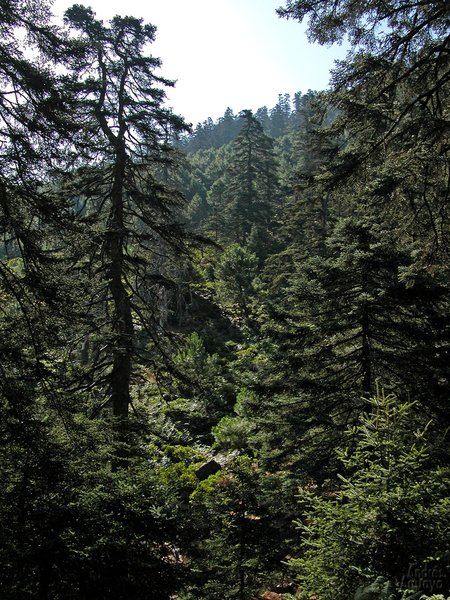
At a certain point the unpaved track becomes asphalt, the nearby city leaves its mark, and we see a number of recreational estates, like the Casa Aurelio, which we leave on the left hand side of the track. Perhaps the most interesting feature here, apart from splendid holm-oaks, are the remains of the old aqueduct that brought water to Ronda from the nearby spring of La Hidalga, if we look carefully we'll see some arches in a field to our right.
The next landmark are some vineyards in the estate of El Juncal, which is not only a wine cellar but also a luxurious rural hotel, from the track you can see the gardens with splendid trees, including a beautiful example of the Spanish fir. Now we have to cross the main road very carefully and take the track on the opposite side. We should take the same care when crossing the railway line over the crossing provided. We are now on the "Cañada Real" (Drovers' Trail) from Cordoba to Granada, and we set off along this route which runs parallel to the railway line. Soon after we pass by the Venta la Cordoniz, and then enter the Calle Santa María Calle de la Cañada, we then take an underground passageway on the left to reach the road which comes down from the Regional Hospital of the Serranía and takes us back to the starting point of our route.
Type of Trail: Circular. Trail Status: Approved and Signposted 2009. Total Distance: 9.1 Km. Legs: 1 Accessibility: Suitable for walking and mountain biking. Download Brochure
Itineraries

Services and infrastructure
Target audiences
Segments
Season
You may be interested


EXPLORE ANDALUSIA
EXPERIENCES


