
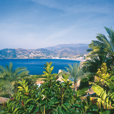
Malaga by the TransAndalus

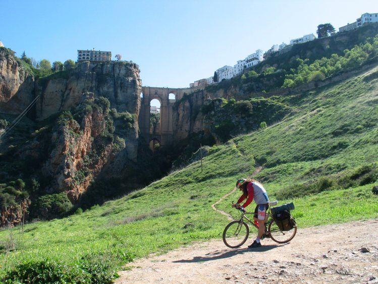
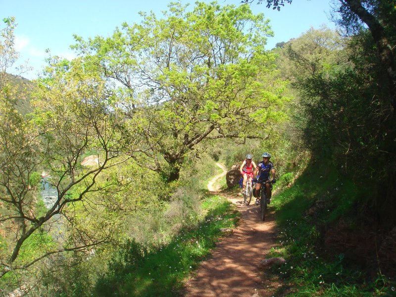
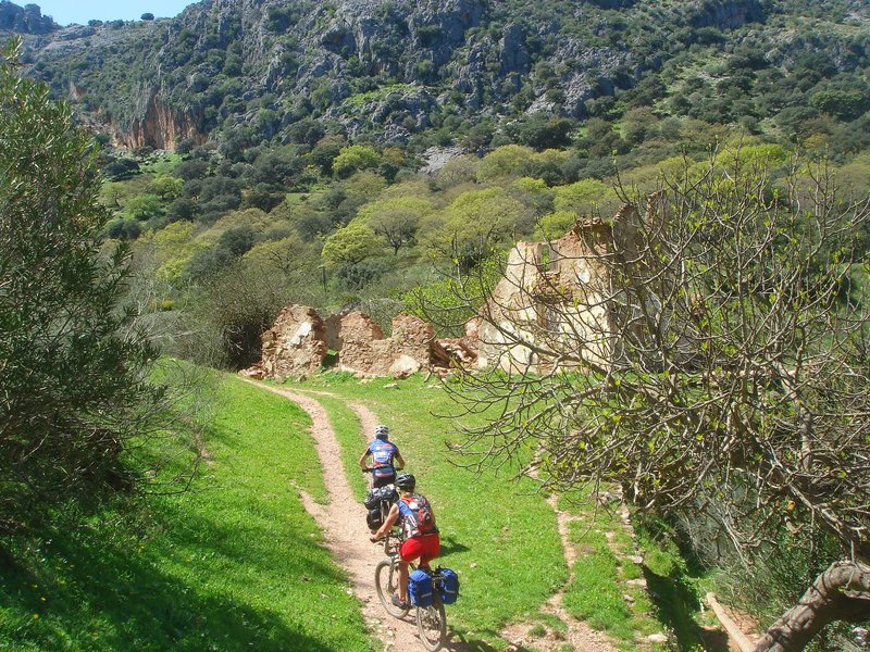
Pretending to be romantic and lively bandits we enter the Serranía de Ronda, cycling energetically on the GR 7, along -a large part of- the Malaga TransAndalus. We cross the Bética Mountains strolling through the twists and turns of its magical stones, proud of its history and the pleasures of this region, to then escape through the "eye of the needle" towards Granada.
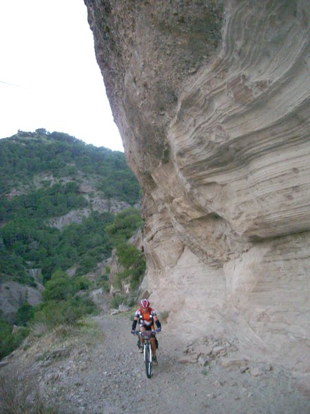
The TranAndalus by Malaga is a mountain route comprising a series of sections with a pronounced relief, which starts at Estación de El Colmenar (Cortes de la Frontera) after crossing The Alcornocales Nature Reserve in Cadiz.
From El Colmenar up to the fabulous Ronda we go up the Valley of the Guadiaro River along the old "highway from Ronda to Algeciras", almost parallel to the layout of the railway, leaving the Sierra de Grazalema to the right and the Ronda Mountains to the left.
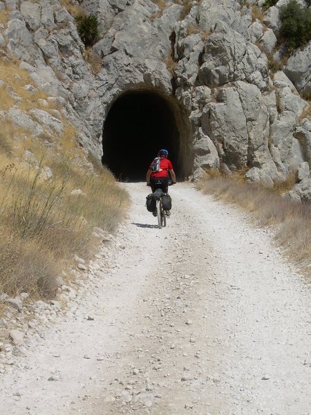
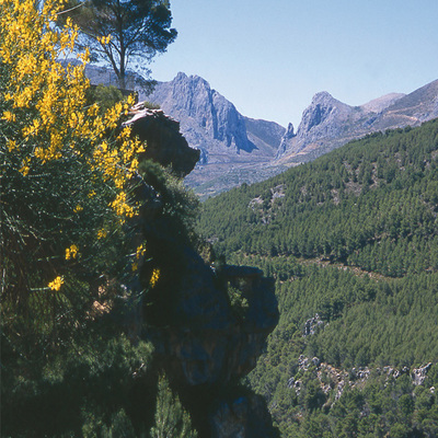
From Ronda we enter the Nature Reserve of the Sierra de las Nieves for a few miles, in search of the basin of the Guadalhorce River that we will cross at El Chorro dam, at the foot of the Tajo de la Encantada and the Gaitanes Gorge.
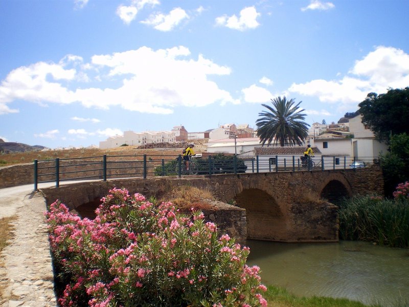
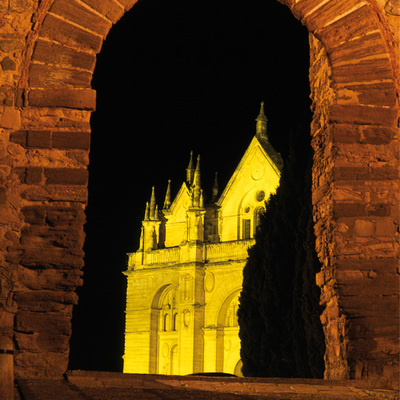
Via the Valley of Abdalajís we reach the age-old Antequera. From here, and caressing the maze-like Torcal, we head east and skirt the south of the mountains of Las Cabras and Camorolos to find the Sierra de Alhama, which leads to the province of Granada through Boquete de Zafarraya.
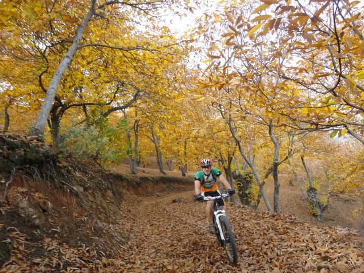
Type of route: Linear. Total length: 213.6 km. Type of surface: compact ground, trails, paths and asphalt, Stages: 9 sections. Accessibility: Suitable for walking and mountain bikes.
Itineraries
Services and infrastructure
Target audiences
Segments
Specialties
Season


EXPLORE ANDALUSIA
EXPERIENCES


