
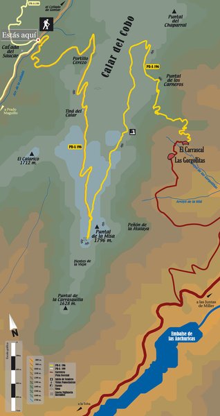
Cañada del Saucar – Puntal de la Misa – El Carrascal – PR-A 196
The Cañada del Saucar – Puntal de la Misa – Carrascal Trail – PR-A 196, has its start panel to the right of the forest track in the Cortijada de la Cañada del Saucar (country house complex), after passing the village of Los Anchos, part of the municipal district of Santiago-Pontones.
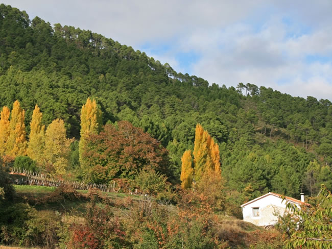
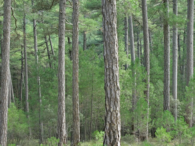
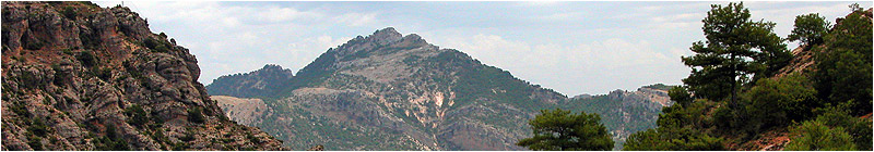
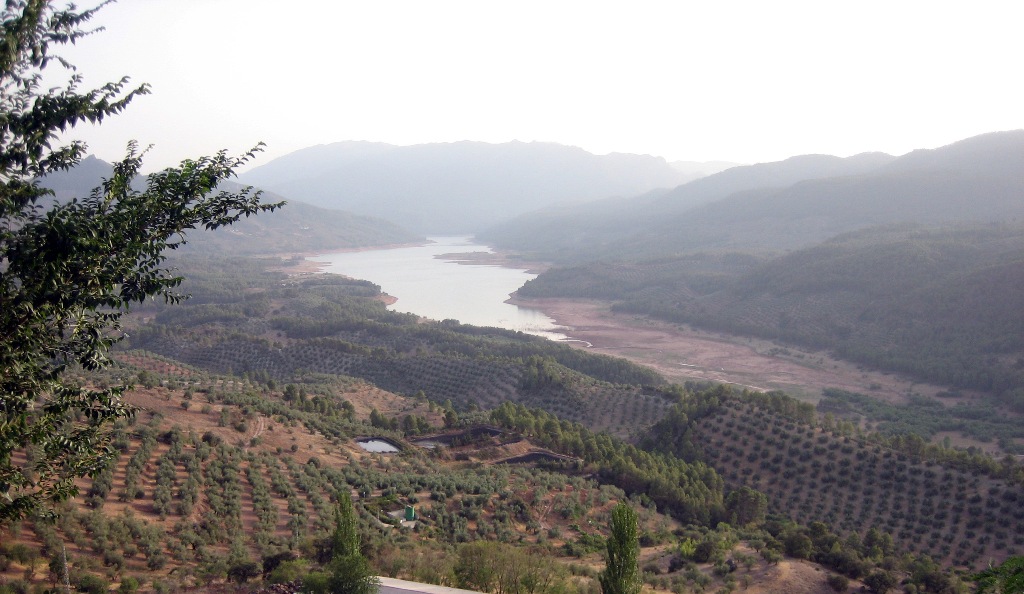
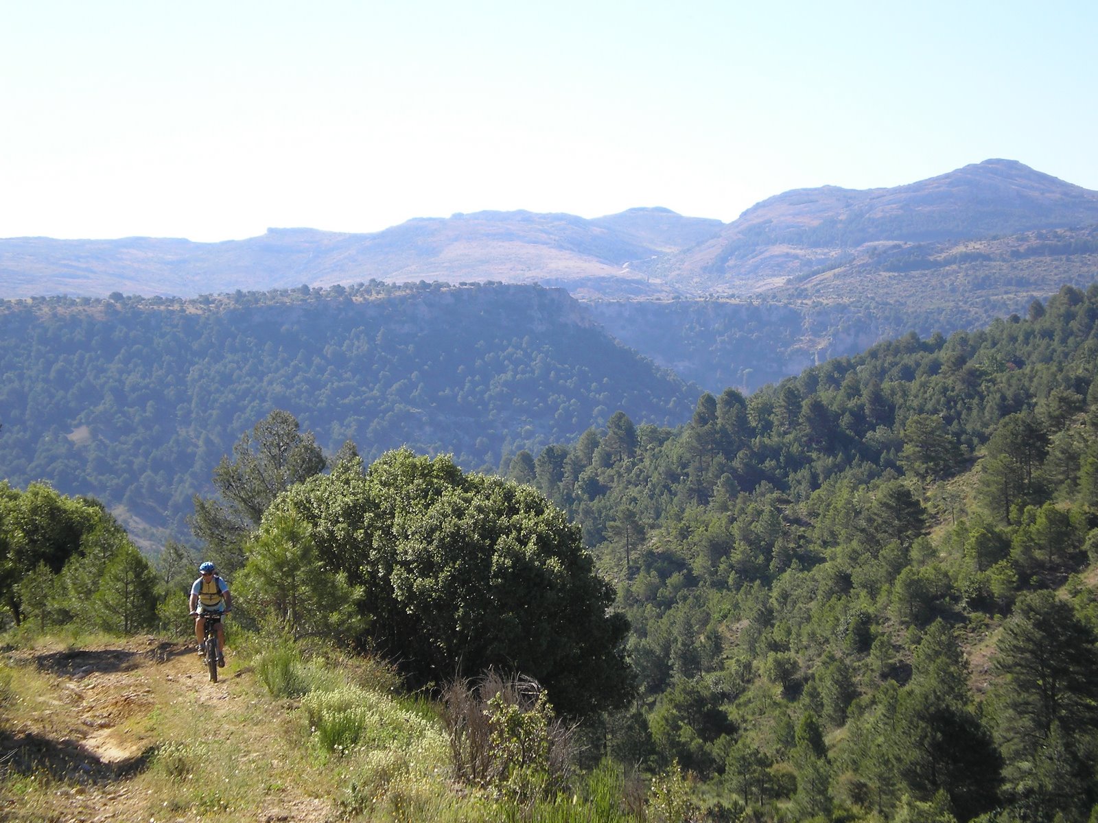
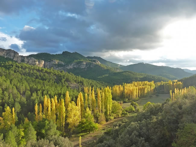
This is one of the most impressive hiking routes in the Sierra de Segura. It ascends along a forest track in the middle of immense woods of Corsican pine, leaving the valleys of Los Anchos and the Madera River below.
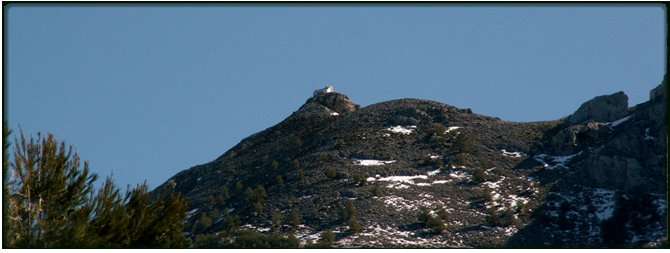
As we gain altitude, the vegetation becomes scarcer until it is reduced to a bare expanse of broom.
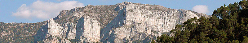
Once at the top of the limestone rock, we discover the impressively striking atmosphere of the high Segura mountains: an enormous limestone platform with meadows where the flocks of segureña sheep graze, broken up by hollows (sink holes called “sorbeores” in the region), hidden stream beds and sharp rocky areas.
On the limestone rock there are the remains of some stone walls from old agricultural terraces, witnesses to the hardiness of the old rural life, where the mountain dwellers used to come up from the nearby villages to sow grains, making the most of the damp preserved in the ground of a few stream beds.
Making such hard journeys on a daily basis to pull up such scarce crops would be unthinkable today.
From the forest monitoring hut, the Puntal de la Misa, and along the eastern face of the limestone rock, we will see unforgettable panoramic views over an endless succession of mountains curtains on the other side of the deep valley, carved by the Segura River.
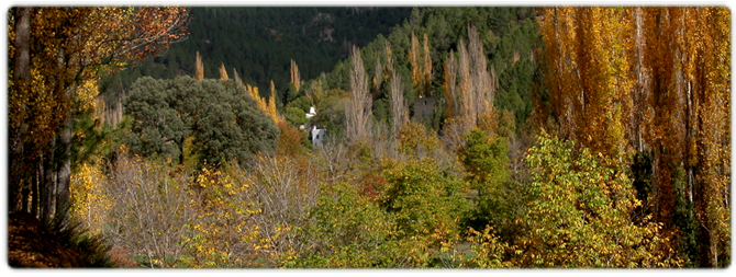
The descent, through pine forests once again, will take us along a trail that traverses steep slopes until it reaches the village of El Carrascal, whose vegetable gardens and small whitewashed houses, as well those of the nearby village of Las Gorgollitas, we will see in the distance.
The rock is popular with flocks of mountain goats and griffon vultures frequently fly overhead. In the cliffs, peregrine falcons can also be seen. Wild boar is common throughout the area
Type of Trail: Linear Trail Status: Approved and signposted 2004. Total length: to Puntal de la Misa 5.6 km, to the Carrascal 11.6 km (to get there) Sections: 1 Accessibility: It can be done on foot. Download Brochure
Itineraries

Services and infrastructure
Target audiences
Segments
Season
You may be interested


EXPLORE ANDALUSIA
EXPERIENCES


