
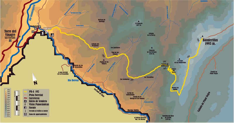
Cumbre del Banderillas Trail - PR-A 192

The Cumbre del Banderillas Trail - PR-A 192 starts from the Torre del Vinagre Visitor Centre; take the road towards the fish farm and the Borosa River Visitor Centre, from which the Borosa path immediately starts. We can find the start panel 100 metres further up from the checkpoint barrier.
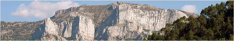
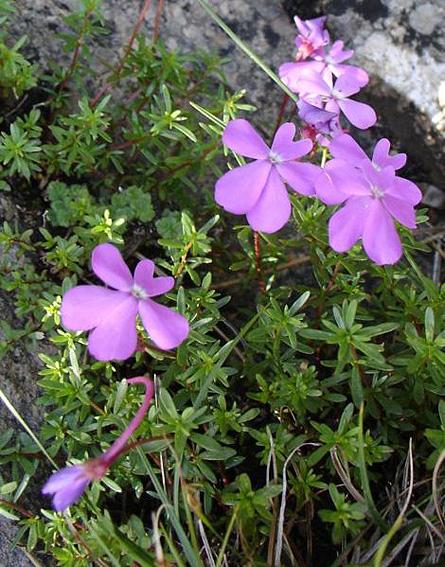
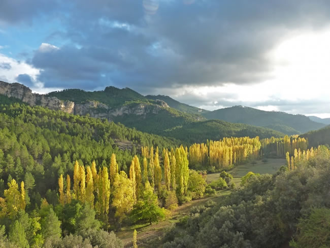
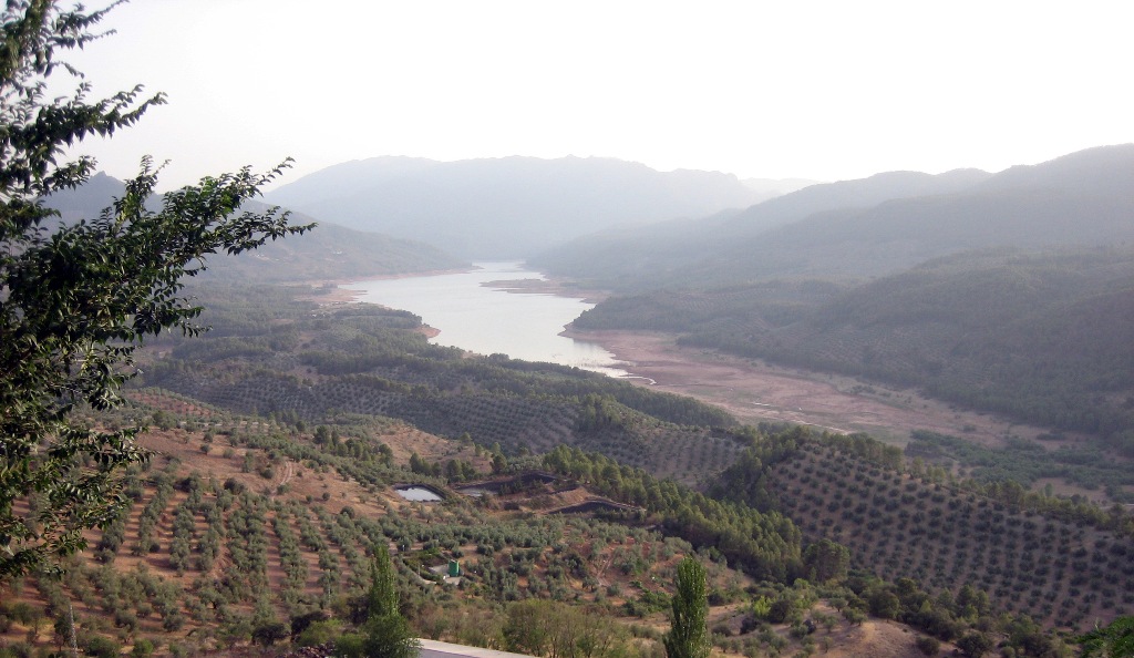
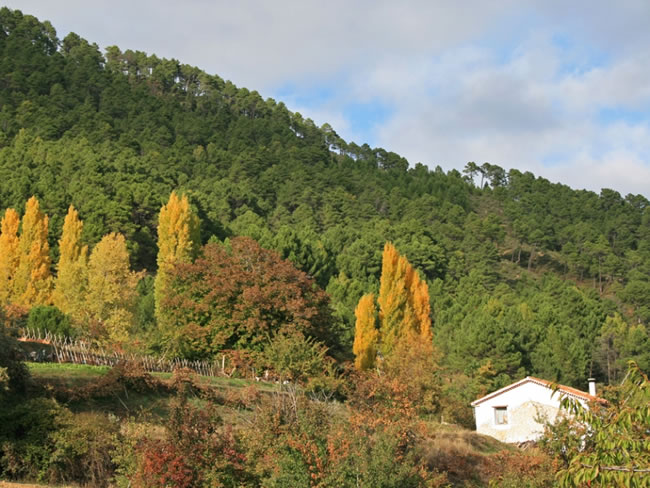
This route is one of the hardest of the Sierra de Segura, but the effort is rewarded by the enjoyment of being able to completely get to know the Segura mountains: the immense pine forests, with Aleppo, black and Corsican pines, holm oak, exceptional plant formations with plants such as box trees and juniper, the small river beds with the remains of ancient human settlements, views over the steep slopes covered with forests and enclosed valleys, the high mountain, where only broom and juniper grows, the nearby plateau of Campos de Hernán Perea (black pine), until you reach the peak of the Banderillas, with its views over the whole of the Natural Park that make this spot one of the most impressive mountain areas, not only in the southeast, but in the whole of the Iberian Peninsula.
The Tranco del Perro is the only route between the groups of farm houses in Los Campos and the Borosa valley. It passes along very steep terrain, which was once very hard work given the means available in the past. As evidence of this, you can still see the high stone blocks that support the path in the most difficult stretches.
It is the best route in the Sierra de Segura to see the great herbivores such as the mountain goat, mouflon and deer. In the forests of the lower areas there are many wild boar, and it is easy to see griffon vultures gliding in the sky.
Type of Trail: Linear. Trail Status: Approved and signposted 2004. Total length: 14 Km (one way) Sections: 1 Accessibility: It can be done on foot. Download Datasheet
Itineraries
Services and infrastructure
Target audiences
Segments
Season
You may be interested


EXPLORE ANDALUSIA
EXPERIENCES


