
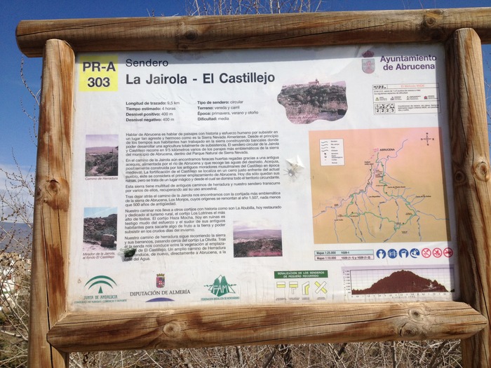
La Jairola - El Castillejo Trail - PR-A 303

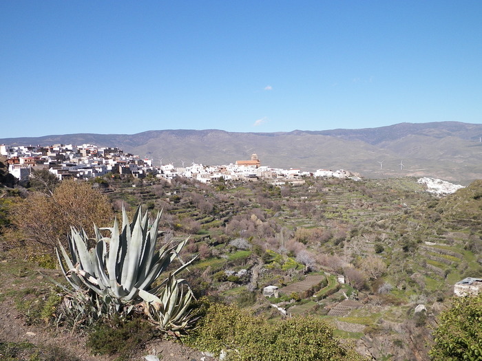
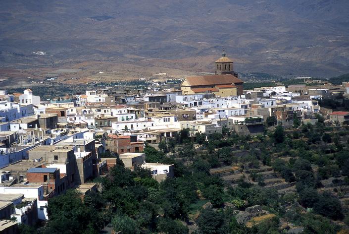
The La Jairola - El Castillejo Trail - PR-A 303 runs through the district of Abrucena, in the valley of the Nacimiento River, between the slopes of the Sierra Nevada mountains and the sunny side of the foothills of the Filabres mountains, surrounded by a fertile valley featuring terraces growing numerous, dense olive groves.
To speak of Abrucena is synonymous with landscapes full of history and the struggle for survival in such a wild and beautiful place as the Sierra Nevada in Almería. From the beginnings of time its inhabitants have worked in the mountains, building terraces for the development of subsistence farming. The Jairola and Castillejo circular trail includes 9.5 kilometres with some of the most emblematic places in the district of Abrucena, within the Sierra Nevada Nature Reserve.
Along the La Jairola trail we still find fertile vegetable gardens irrigated thanks to an ancient irrigation channel, fed by the Abrucena River and by collecting water from the thaw. The Irrigation Channel, possibly built by the old Moorish inhabitants of Castillejo in Medieval times. The fort in Castillejo is located on a hilltop opposite the present town and is considered to be original location of Abrucena. Today only the ruins remain, but it is a magical place which overlooks the entire surrounding area.
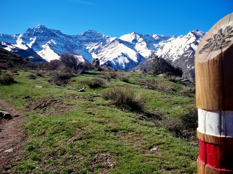
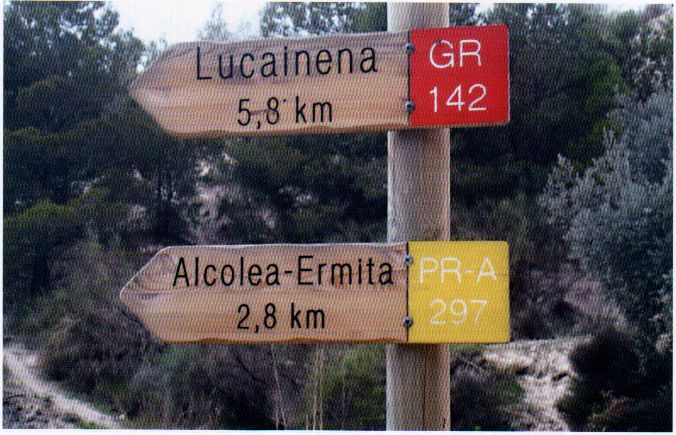
These mountains have a great number of ancient bridle paths and our route follows a number of them, thereby recovering its ancestral use.
After leaving behind the La Jairola pathway we discover one of the most emblematic tiny villages in Abrucena, Los Monjos, whose origins date back to 1507, 500 years ago, no less.
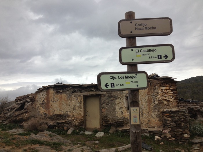
Our route takes us to other historic farming communities such as La Abubilla, now restored and dedicated to rural tourism, the farmhouse of Los Lotrines is the highest of all. The Haza Mocha farmhouse, now in ruins, is a silent witness to the struggles and efforts of its ancient inhabitants to get something out of the soil to be able to survive during the harsh winter.
The bridle path continues through the mountains and its ravines, passing near the La Olivilla farmhouse. The trail then continues between the vegetation and the settlement of El Castillejo. A broad bridle path takes us on directly to Abrucena, to the Calle del Agua.
Type of Trail: Circular. Trail Status: Approved and Signposted 2007. Total Distance: 9.5 km. Legs: 1 Accessibility: It can be done on foot. Download Topo Guide
Itineraries
Services and infrastructure
Target audiences
Segments
Season
You may be interested


EXPLORE ANDALUSIA
EXPERIENCES


