
Estación de Vuelo Libre de Huéscar
The high plateau of Granada province offers great geographical diversity and rich landscape variety, including the Sierra de Baza National Park, the Sierra de Castril National Park as well as idyllic areas like the Sierra de la Sagra hills. There is also cultural and historical wealth on these highlands, testimony of which is the Castellón Alto archaeological site in Galera, and the historical heritage of its towns and villages. An area that is characterised by its strong traditions, it is also an unbeatable spot for flying and gliding.
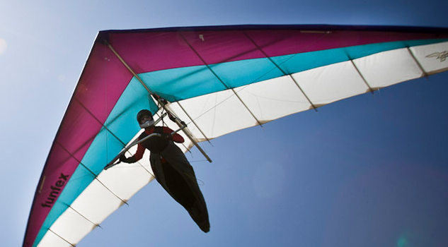
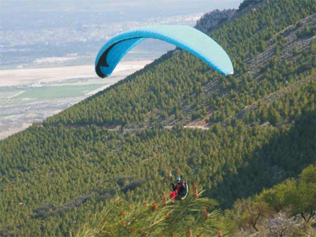
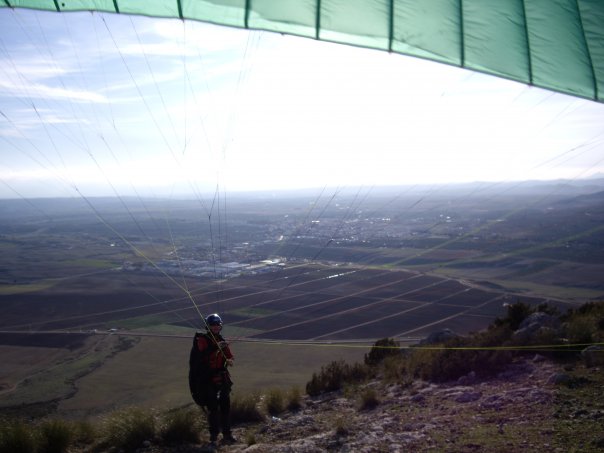
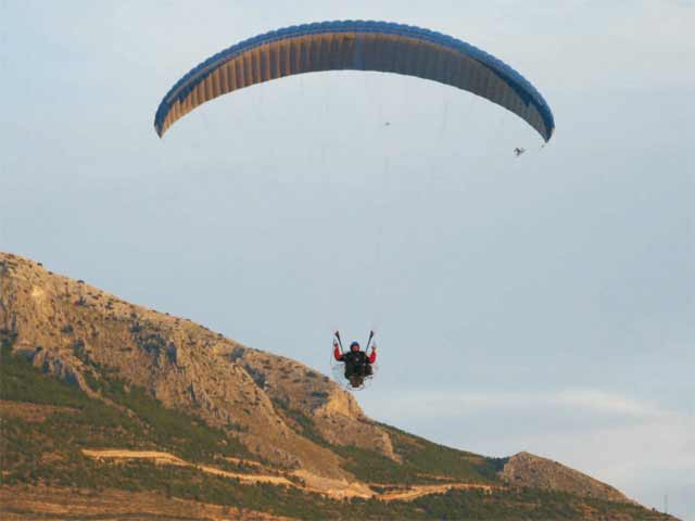
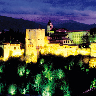
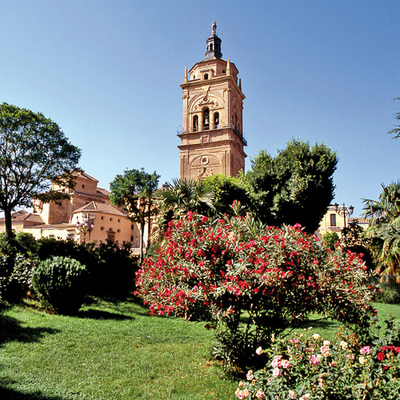
On the banks of the River Barbatas and close to the Encantada ridge, Huéscar town stands out for its mansion houses and its many religious foundations. The topography here offers a very clear crested ridge, which looks as if it has been designed for flyers of low to medium levels, and indeed it can offer some excellent soaring for pilots of these levels. The geographical situation and the great extension of flat land in this part of northeast Andalusia mean that thermal flying is a fantastic opportunity here, although it is recommended that, in summer, pilots take particular care.
Climate
The geographic situation, with influence from both the Mediterranean and peninsular Andalusia, and its high altitude of al most 1,000 metresabove sea level, mean that the climate here is extreme, with freezing, dry winters and very hot summers. The extremes of temperature are a continental characteristic, and the low rainfall gives it a Mediterranean nuance.
During winter, there is a strong north wind that cancels out the Mediterranean influence and makes for a long, cold winter (from November to March), but with many clear days. Summers are hot and dry, although this season is limited to the months of July and August.
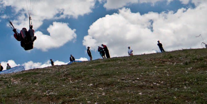
The area, which offers good thermal lift in summer, is also ideal for glass-off flying in the evening. Since the launch site is at a low level, it complements the upper launch at Zújar, since when there are strong winds at Zújar, it is possible to fly at La Encantada.
Launch sites West launch site (La Encantada) Coordinates: 37º 49’ 53.58’’ N / 2º 30’ 26.62’’ W. Orientation: West-facing. Altitude: 1.197 metres. Drop: 222 metres. Dimensions: Approximately 10 x 6 metres. Access: Driving from Huéscar, it is one kilometre along a surfaced road, and the rest is on a dirt track. At the end pilots will have to leave their vehicle and walk for about 15 mins. Parking: Large space at the foot of the slope, it is not enclosed. Facilities: It has wind direction streamers, a windsock and the access is signposted. Landing sites West landing site Coordinates: 37º 49’ 27.98’’ N / 2º 31’ 00.59’’ W. Altitude: 975 metres. Access: Is along the canal. Facilities: It has wind direction streamers and an information panel. Parking: No prepared space, but there is a very large area for parking. Precautions: * In certain climate conditions, particularly in summer, there are strong winds that may mean normal paragliding is impossible.

Services and infrastructure
Target audiences
Segments
Type of activity
Season


EXPLORE ANDALUSIA
EXPERIENCES


