
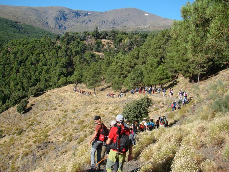
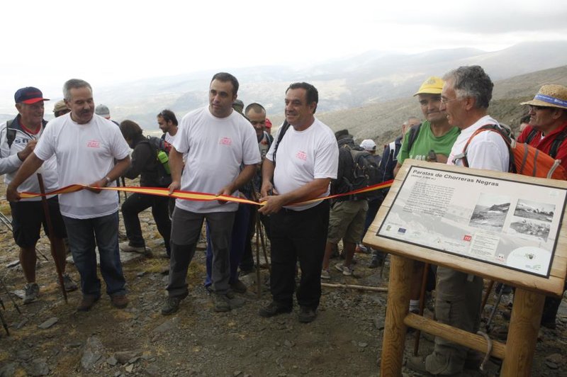
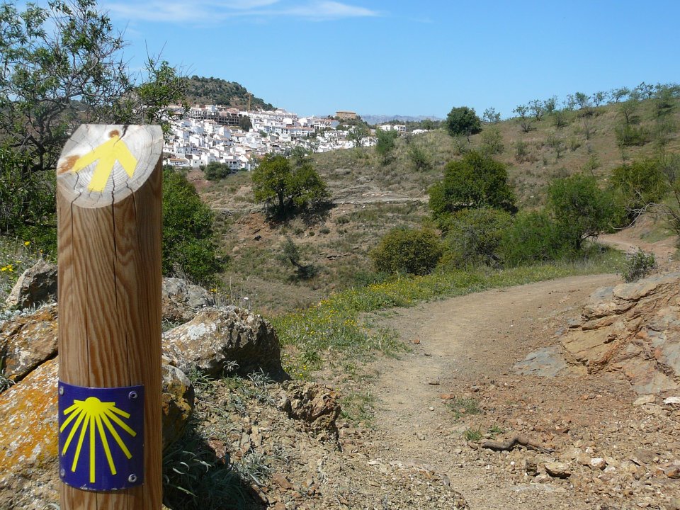
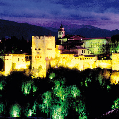
Solidarity with the Plane Trail - PR-A 344

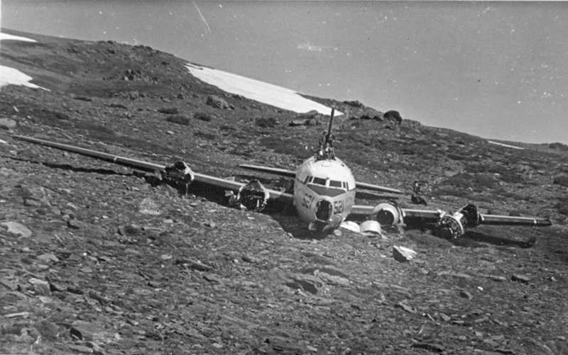
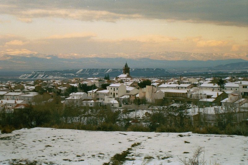
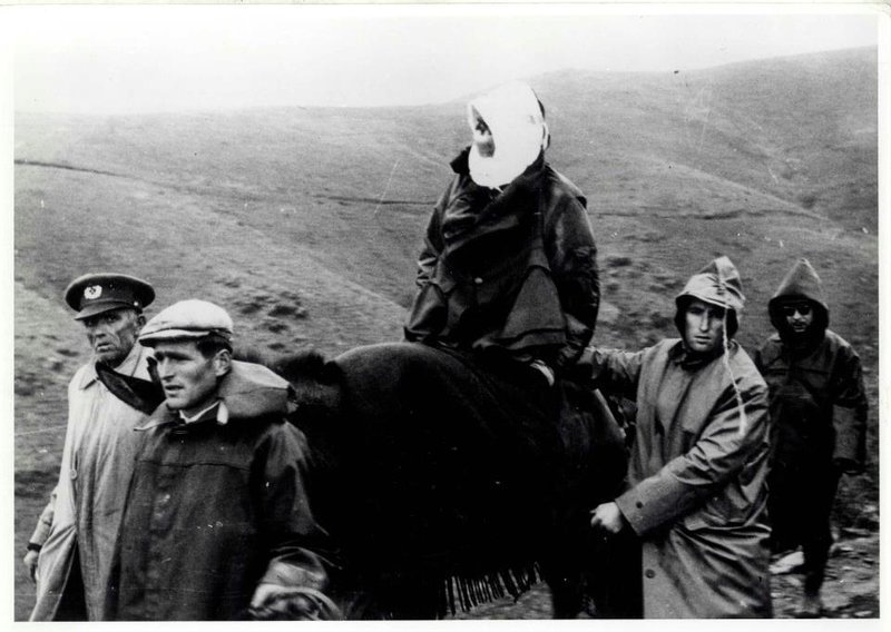
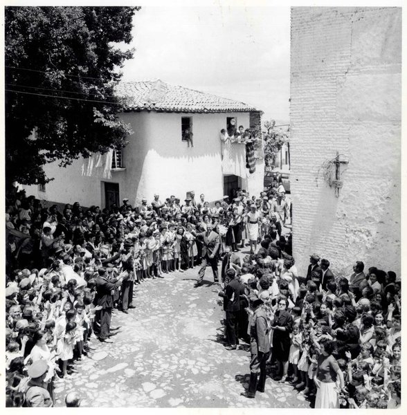
On 8 March 1960, a plane carrying American marines crashed at Paratas de Chorreras Negras on the side of the Picón de Jérez mountain.
The weather conditions were very bad, but the bravery, courage and knowledge of the mountains of the people of Jerez, Lanteira and the villages in the region meant that this accident did not end in tragedy.
By opening this trail, we want to perpetuate the memory of those people.
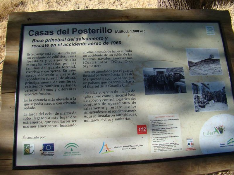
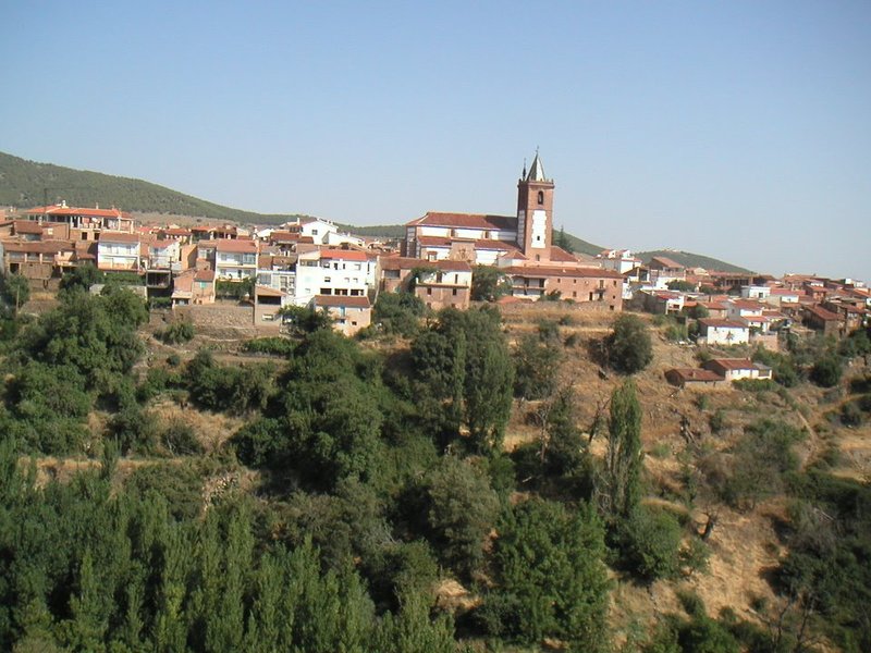
The "Solidario el Avión" (solidarity with the plane)Trail - 344 PR-A begins its route on the Camino del Seminario de San Torcuato, in the municipal district of Jerez del Marquesado; continues along an uneven track to the mill in Sintripas; turns left near the Cogollos irrigation channel; starts a slight ascent along the path that continues along the Lomilla el Viento, leaving the Alhorí River on our left; and then, after passing the Barranco del Maguillo, comes to El Posterillo, which was the logistics hub for organising the rescue of the American marines in 1960 and was the reason for this trail being signposted.
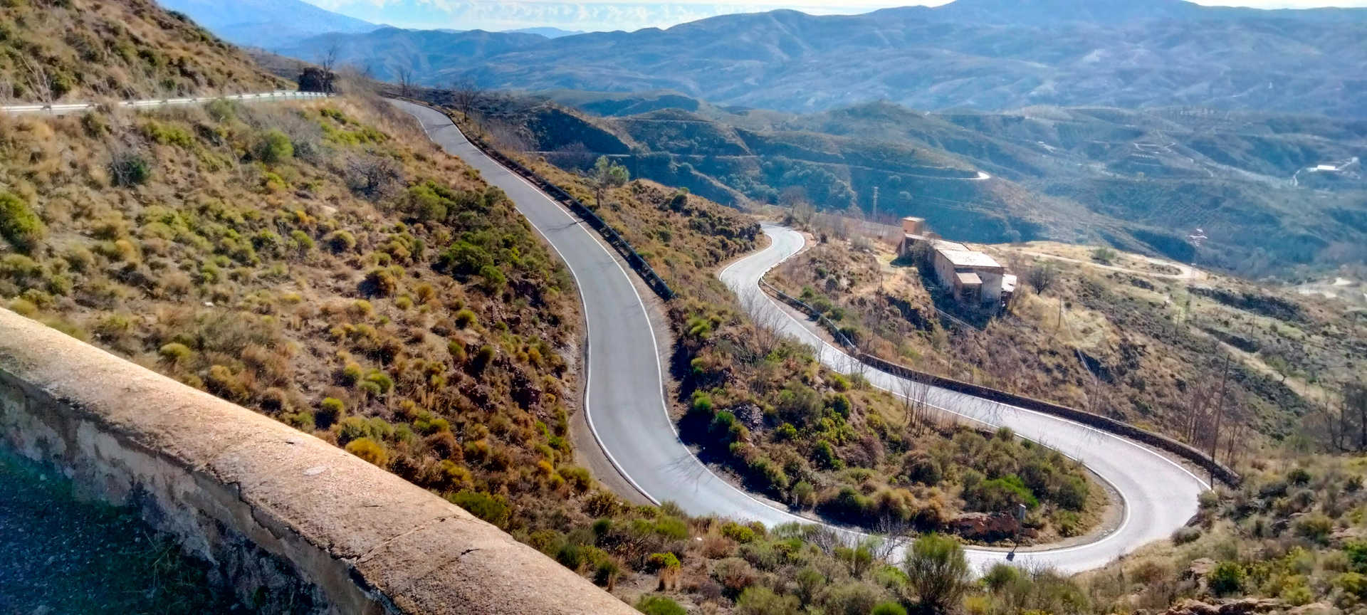
From El Posterillo, it takes the road that climbs —with little difficulty— the Loma del Maguillo hill and leaves the old canal belonging to the Andalusian Mines Electricity Plant to the left, until it reaches the Solana de la Higuera and takes the track on the left.
Our road, which has become a lane, crosses the Barranco de Hervás ravine and, near Corral de Ferrer, it arrives at Cortijo de Isaac, another reference point for the rescue.
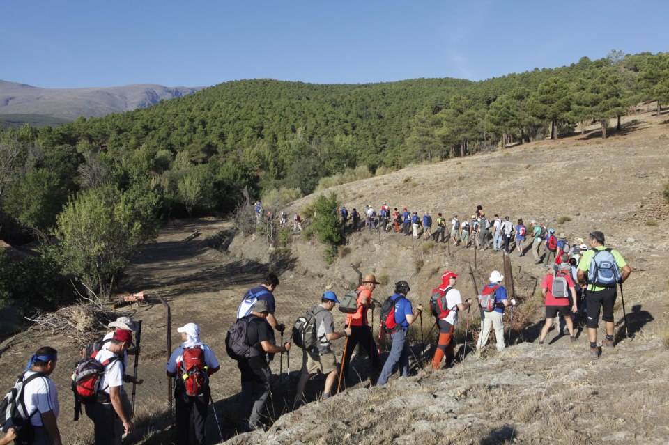
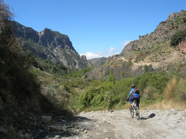
From Cortijo de Isaac, it continues through Las Alegas and the lane heads towards Cortijo de Rosetas, where it joins the Sulayr - GR 240 (stage: Postero Alto – Peña Partida) where both routes meet to continue along the Cañada de Mahoma, on a steeper ascent to the Corral Nuevo, another important base in the rescue of the American plane.
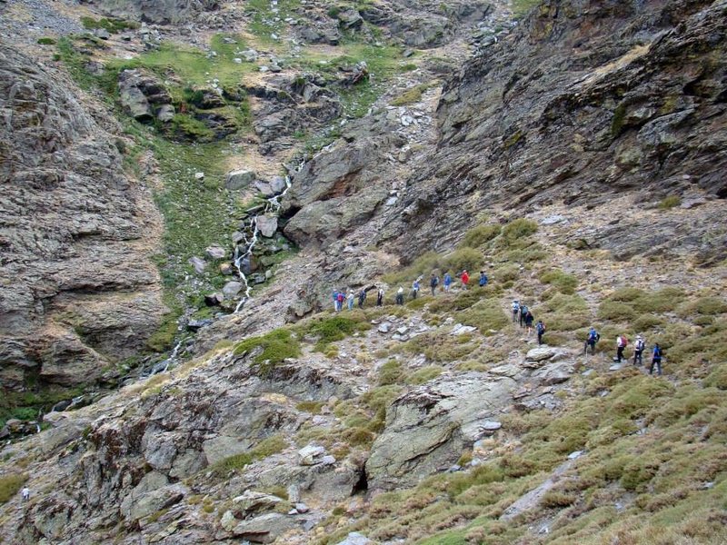
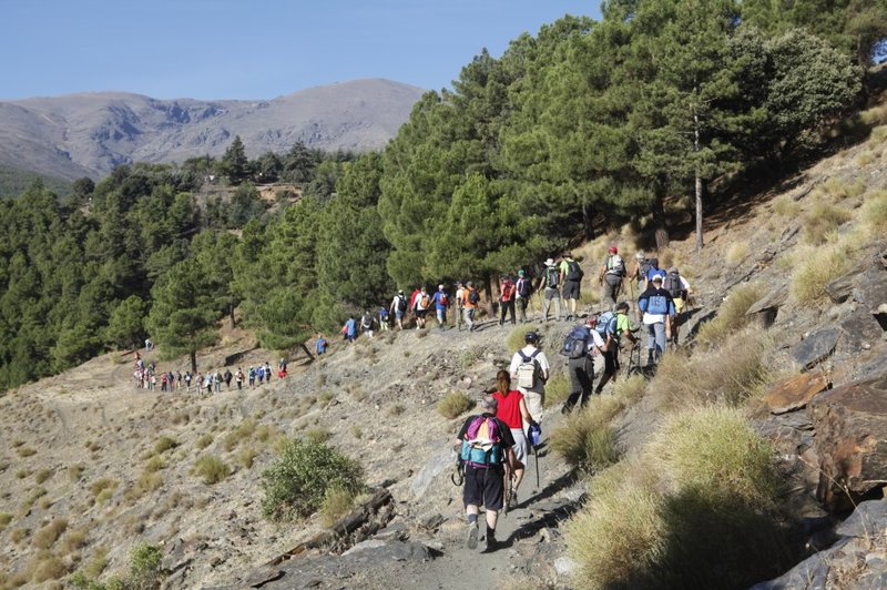
The Solidarity trail continues, coinciding with the Sulayr, in a slight ascent that leaves the Cañada de Mahoma and takes La Vereda, which turns left and begins a sharper climb to the top of Piedras de los Lobos, continuing below Prados del Tesoro to Barranco del Tesoro, where it connects with the Corazón irrigation channel and continues along its comfortable way until it gets close to where it replenishes its waters at the Barranco de Carboneras, turning left in a slight ascent to the Paratas de Chorreras Negras, on the northeast face of the Picón de Jérez del Marquesado, where it ends at the site of the accident.
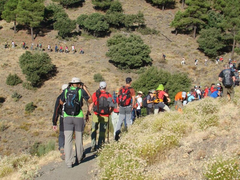
Type of Trail: Linear. Trail Status: Approved and signposted 2010. Total Length: 12 Km (one way) Stages: 1 Accessibility: It can be done on foot. Download Brochure
Itineraries
Services and infrastructure
Target audiences
Segments
Season
You may be interested


EXPLORE ANDALUSIA
EXPERIENCES


