
Alpujarras - Sierra Nevada route
The great high mountain route
The Sierra Nevada circular route provides one of the longest and most spectacular motorbike touring routes in Andalusia. To tour the Sierra Nevada massif on a motorbike is not any old challenge, it is a huge challenge with a great reward. It is a long, intense route, so full of attractions and surprises that it is well worth spending a night on the way, or better still, several nights. Riding across the highest peaks of the peninsula on a motorbike will give you an enormous range of sensations, following an almost infinite number of bends, travelling through changing and always spectacular scenery, offering breathtaking views of the Mediterranean and the snow-capped mountains, in brief, feeling the severe temperature changes on your skin. 250 kilometres of high mountain roads pose a challenge to any motorcyclist, a magnificent route to put yourself to the test over long and demanding days of riding.
On route
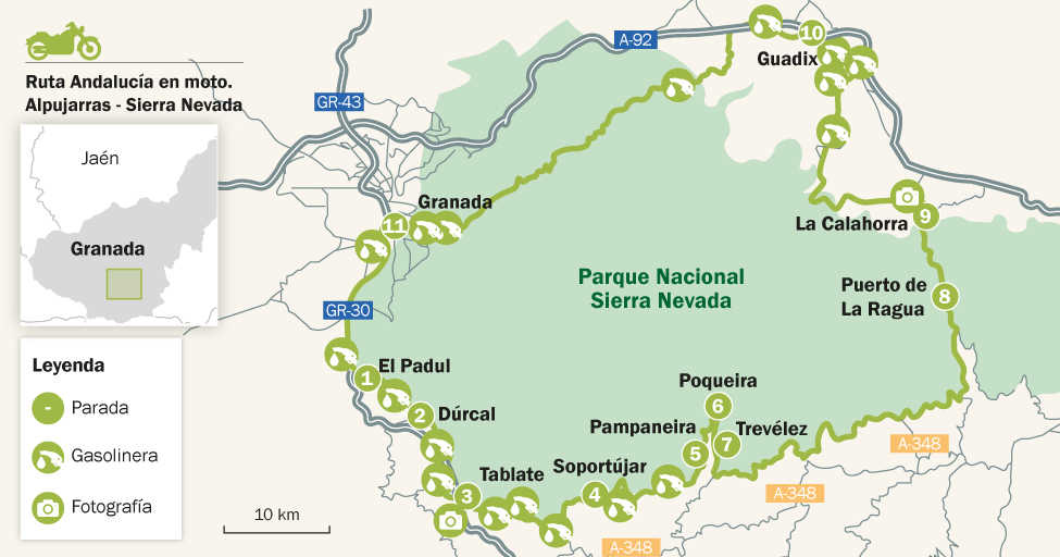
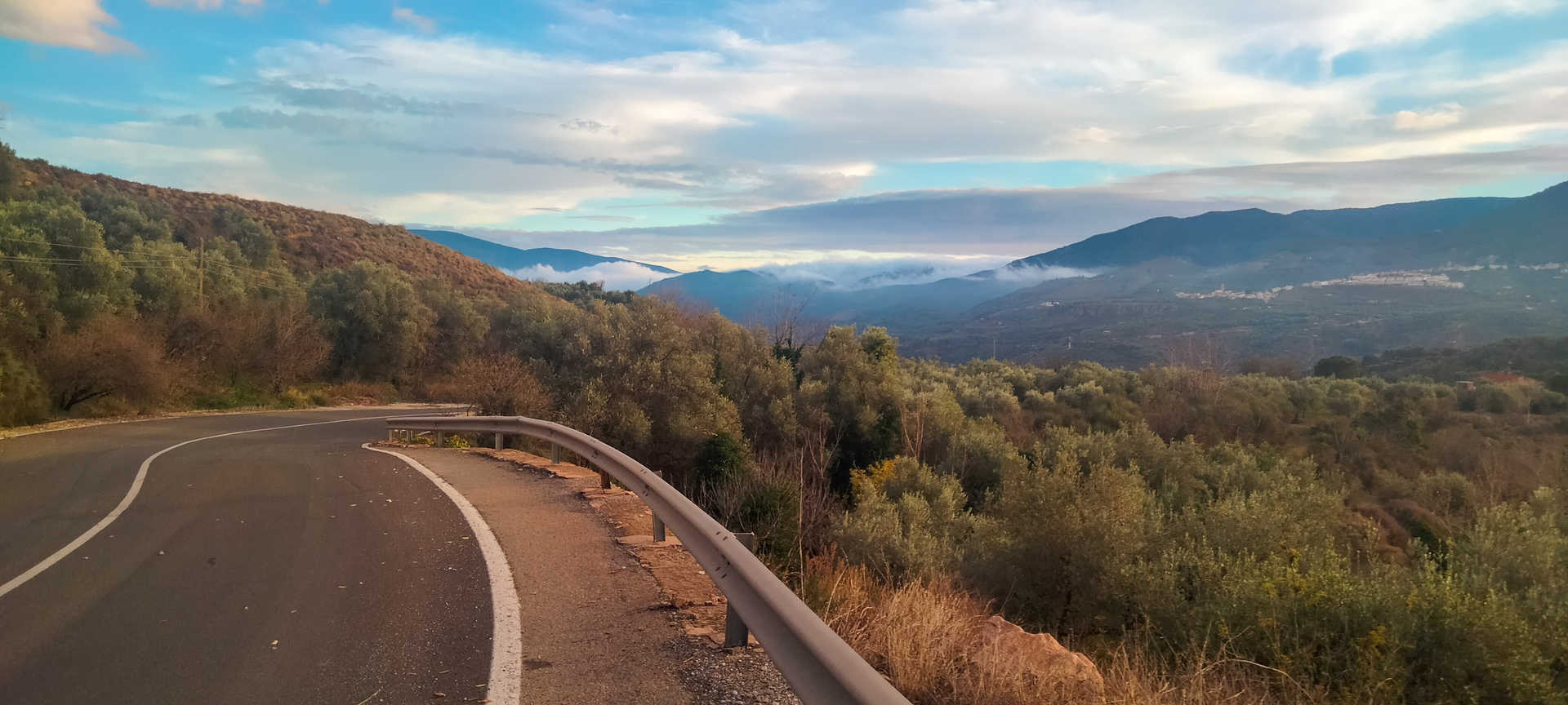
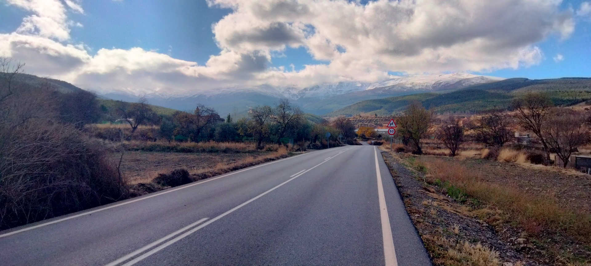
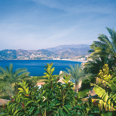
The Sierra Nevada route begins in Granada, where you depart from the GR30 ring road, before taking the old N-323-a road to Motril, just before the Suspiro del Moro pass. Here you begin a long descent through the Lecrín valley. Its hamlets, with narrow streets, water and orange blossom, open the gateway to the Moorish Alpujarra. You will enjoy magnificent views as you skirt El Padul (lagoons, stop 1) and Dúrcal (tin bridge, stop 2), crossing Lecrín and Béznar. The road is broad, it has little traffic and is in good condition, but during the entire route, in winter and in cold weather, you should be careful with the ice patches that may appear in the shaded areas.
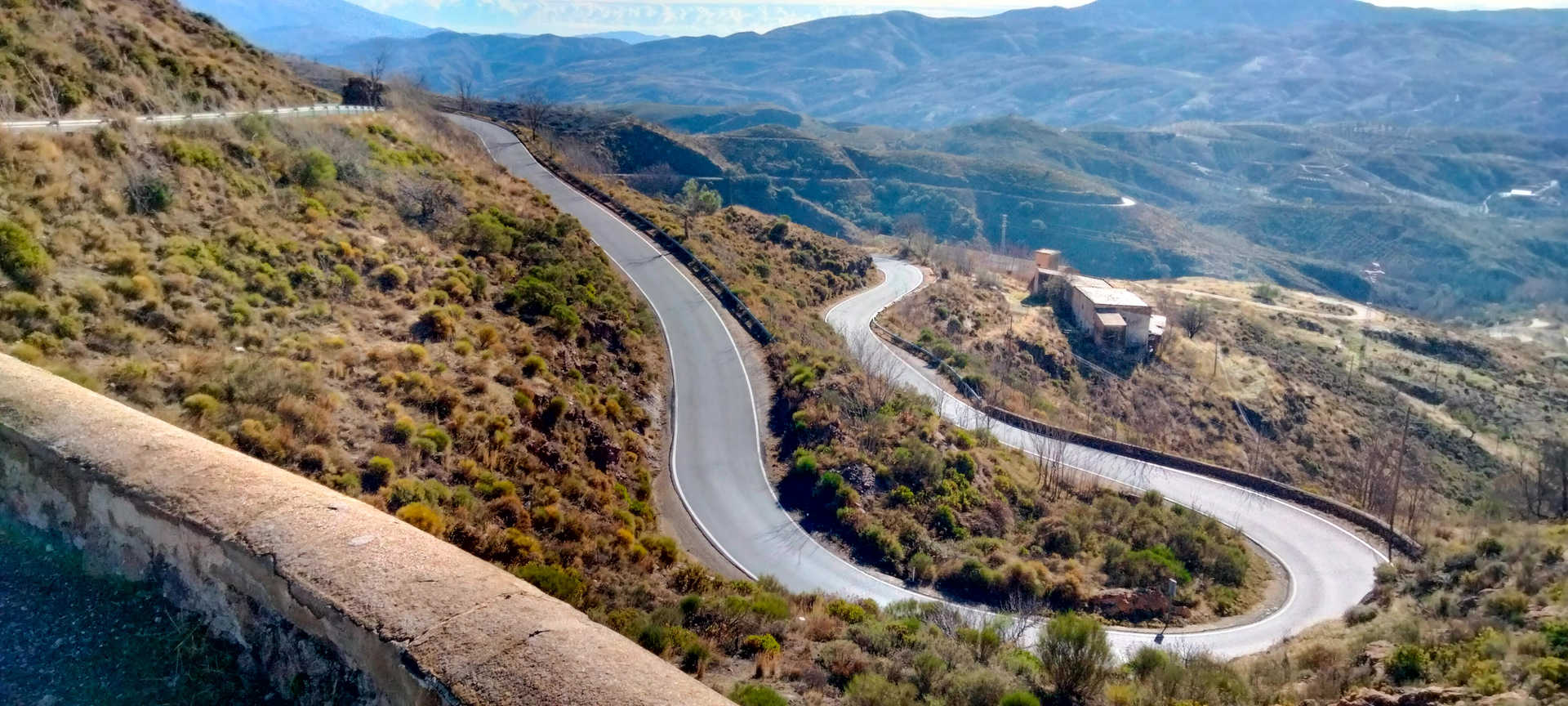
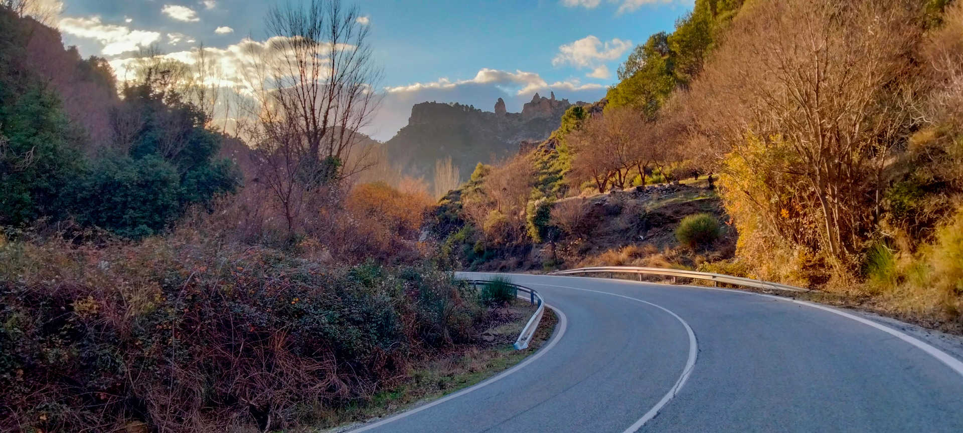
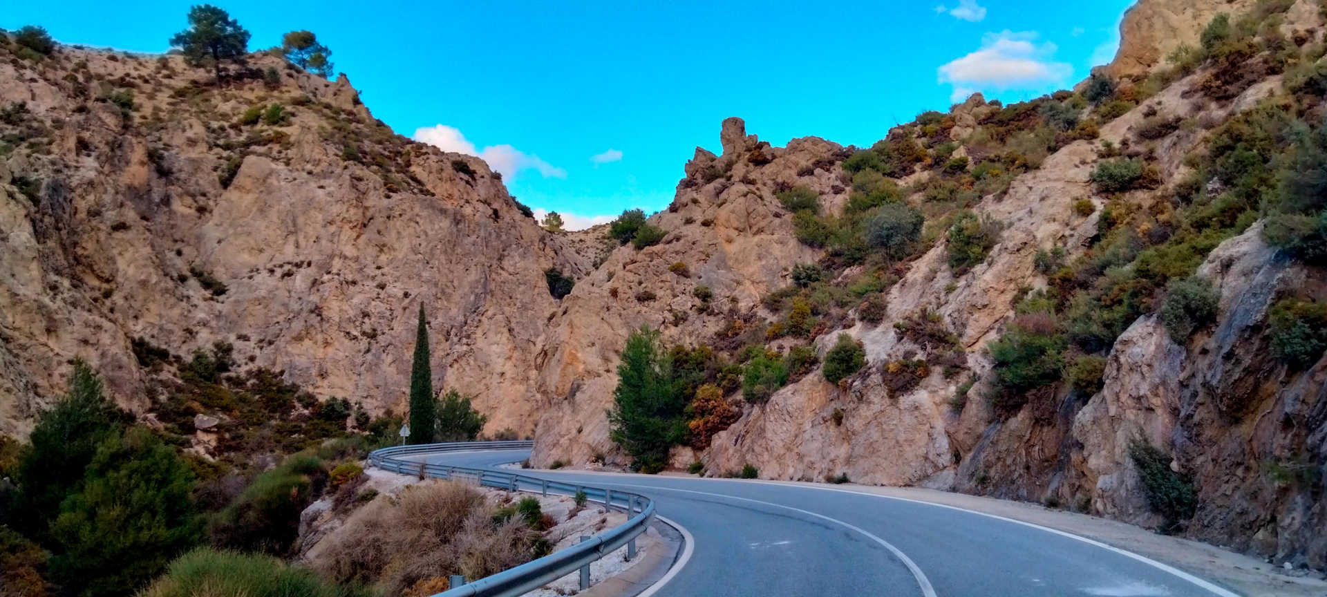
After Béznar, we turn off towards Las Alpujarras on the A-348, where we are greeted by the Nasrid bridge of Tablate (stop 3), a relic of historical engineering, which is worth seeing by taking a short detour from the main road. Now in the Las Alpujarras region, the road becomes narrow and extremely winding, with a heavy traffic for the first few kilometres. Pay close attention in this section. After passing the town of Lanjarón, with its legendary hot springs, you will descend to Órgiva, where you begin a steady ascent to the southern slopes of the Sierra Nevada. The road is narrow and very winding, in good condition, with impressive landscapes and many spaces where you can pull over and admire the views of the snow-capped peaks and the Mediterranean coast. The bends follow one after the other, a real delight on your bike.
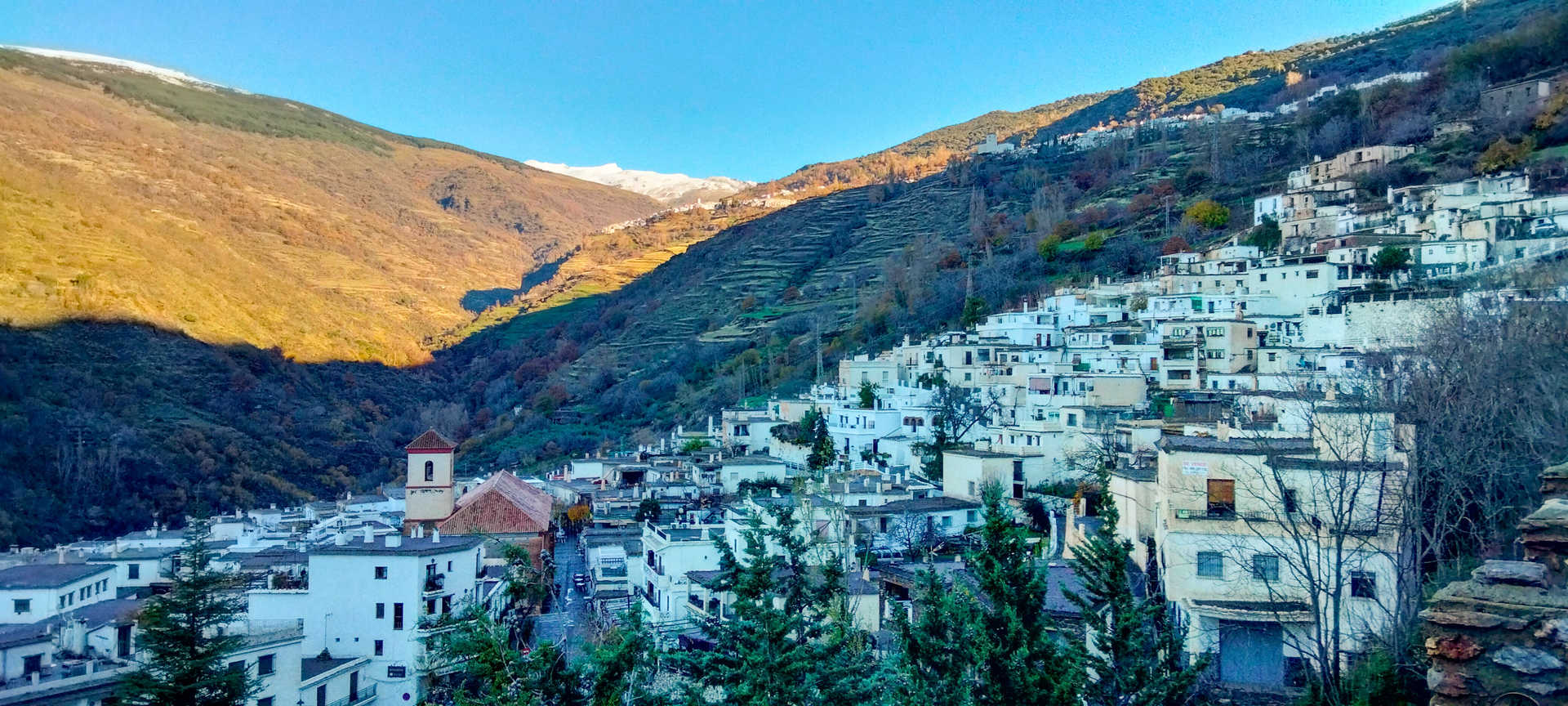
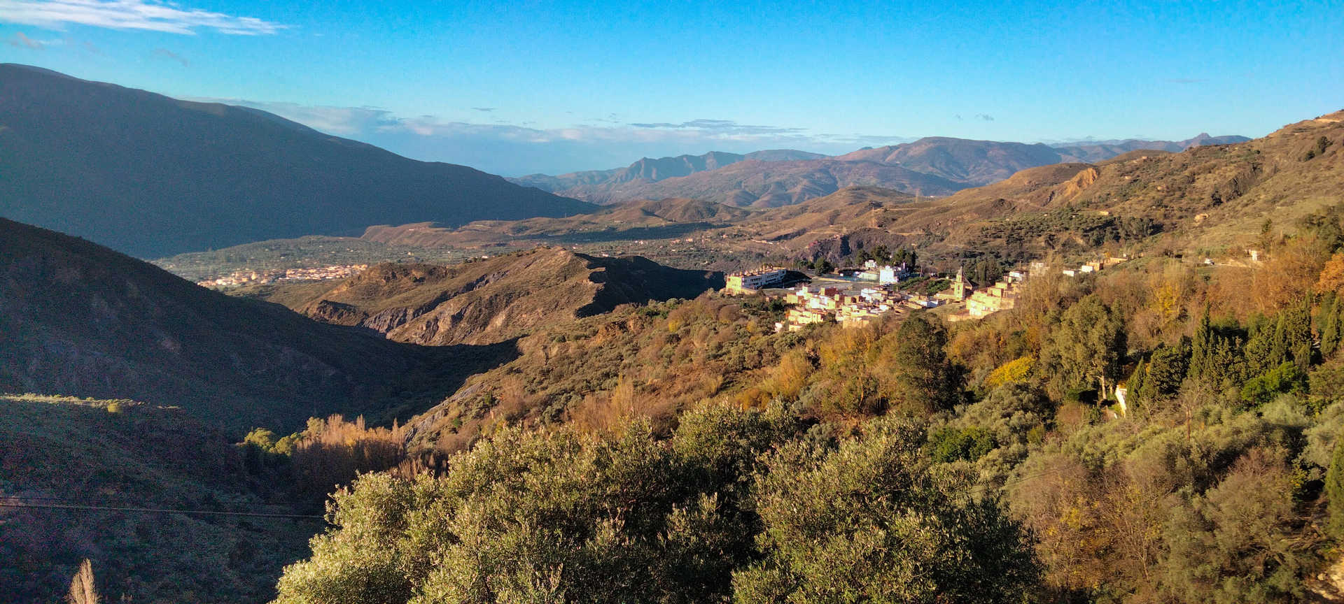
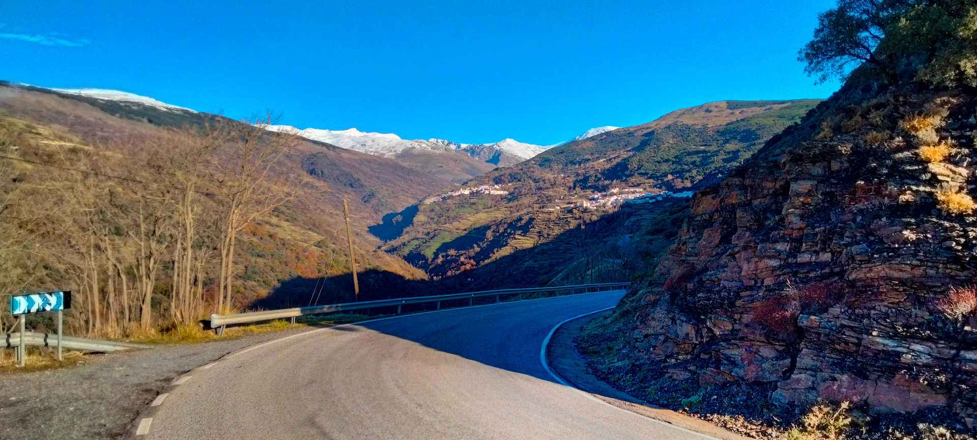
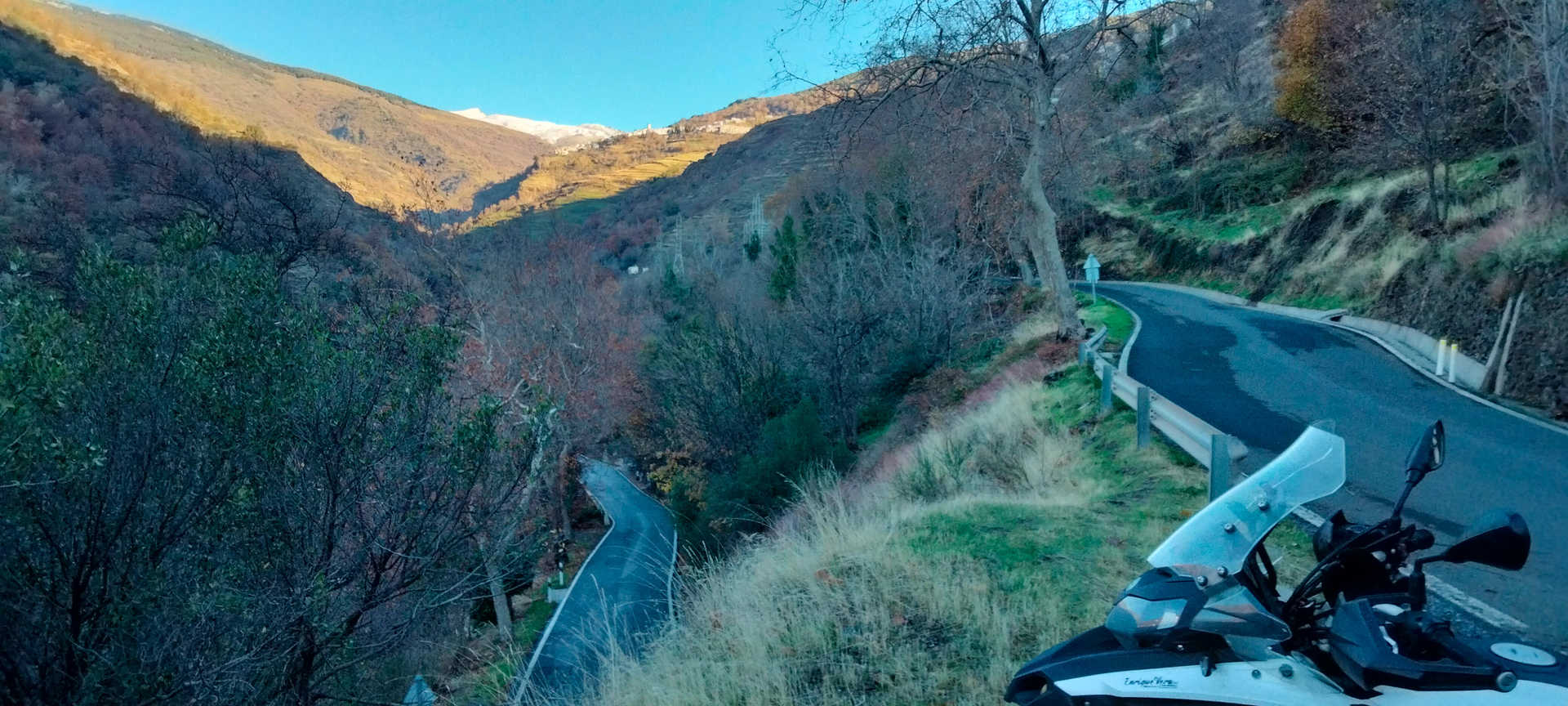
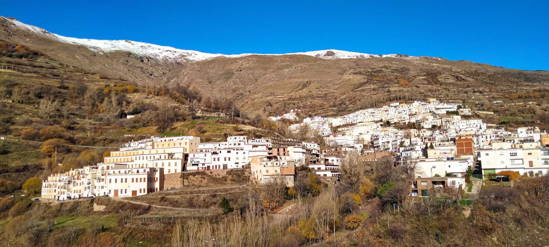
You will leave behind small villages perched on the sunny south side of the sierra, such as the magical Soportújar (stop 4), a village of witches. Shortly thereafter, you are greeted by the Barranco del Poqueira, a beautiful landscape carved into the bowels of the mountain. Almost like a host, the beautiful village of Pampaneira (stop 5) stands out; it is well worth a visit, as are its sister villages, Bubión and Capileira, upstream. After a stop at the dizzying Poqueira vantage point (stop 6), you continue through Pitres, Pórtugos and Busquístar, before entering the long gorge of the River Trevélez and the village of the same name (stop 7). Famous for, among other things, its hams, it may not be the highest village in Spain, but it is undoubtedly the tastiest. It is at an altitude of almost 1,500 metres, a point to bear in mind, especially in winter.
The route follows kilometres of curves and narrow, well-paved roads with progressively less and less traffic. The route winds in and out of stunningly beautiful ravines as it passes through a series of neat, whitewashed villages that eventually come to resemble one another: huddled, cubic houses, suited to the terrain and facing south to benefit from the Mediterranean climate. The villages of the Alpujarra are charming, made of slate and lime, with labyrinthine streets, launa terraos, or flat roofs, and very narrow ‘tinaos’ that hide magical alleyways. Its hamlet smells of chimneys and hearty dishes. You cannot leave this wise land, whose people have been made for the harshness of its mountains, without sampling its splendid mountain cuisine, such as chestnut or fennel stew, ajoblanco (cold almond soup) and toasted garlic soup, migas (breadcrumbs), trout with ham and venison loin stuffed with foie gras. Its sausages and its hearty Alpujarra dish are excellent. You should also take a souvenir of its wines, the Contraviesa and Cádiar. If you stay overnight, you will be able to watch the sunset from any vantage point, where the horizon dissolves into a beautiful sunset.
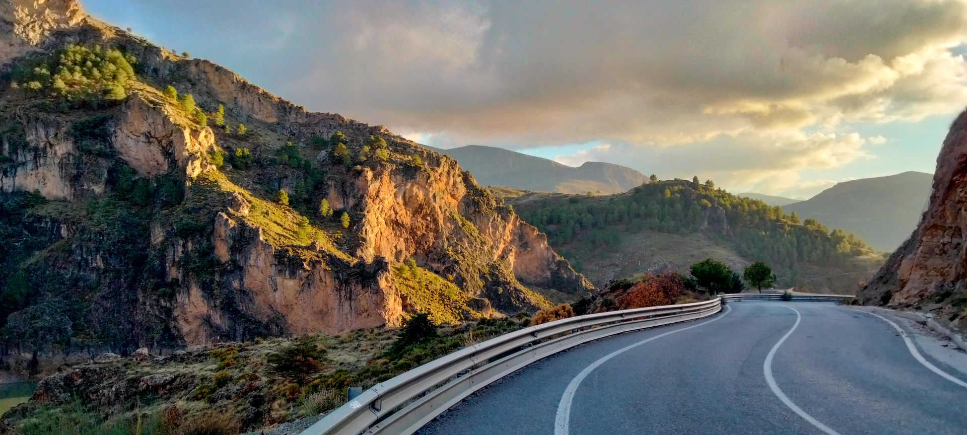
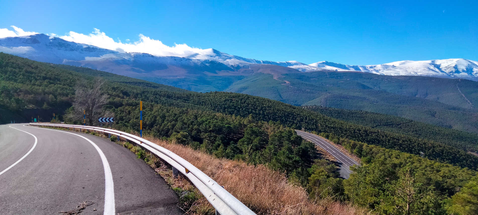
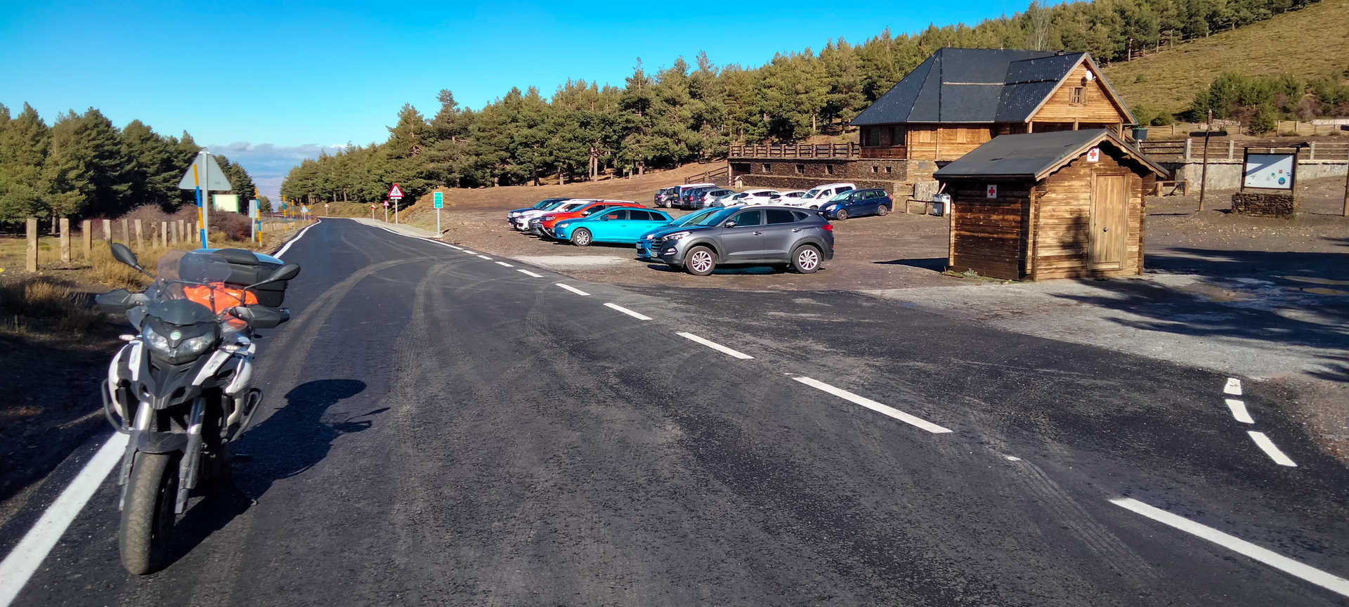
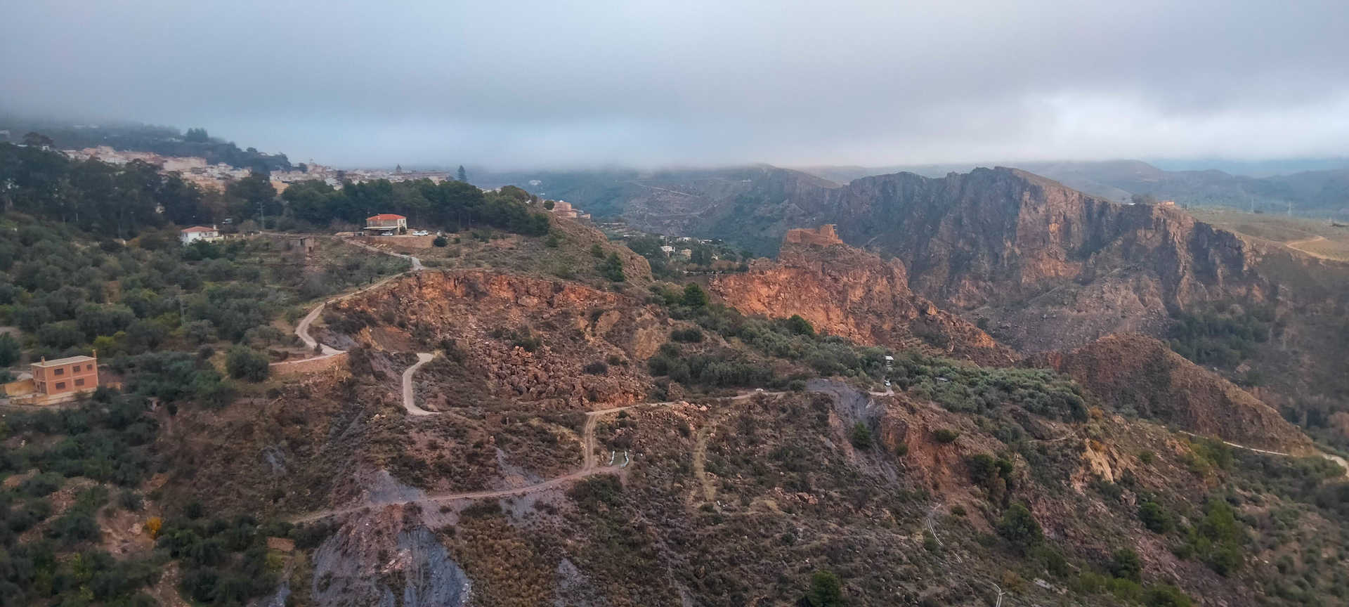
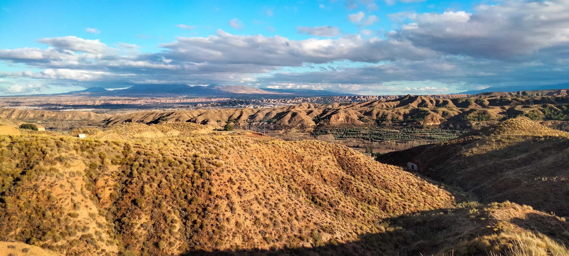
At Laroles, the route bears north, following a magnificent road that goes steadily uphill. After a few kilometres you will reach the Puerto de La Ragua (stop 8), where you will arrive at the north face of the Sierra Nevada. After climbing to an altitude of 2,000 metres, you begin the descent through a very enclosed pine forest. The descent affords us a unique and surprising panorama of the plains of Zenete and the badlands of the Granada Geopark. It is a primitive and beautiful landscape, which changes again drastically as you approach the lush surroundings of the Sierra de Huétor. Special attention ought to be paid to ice sheets on this north face, which is colder and more shaded than the south face.
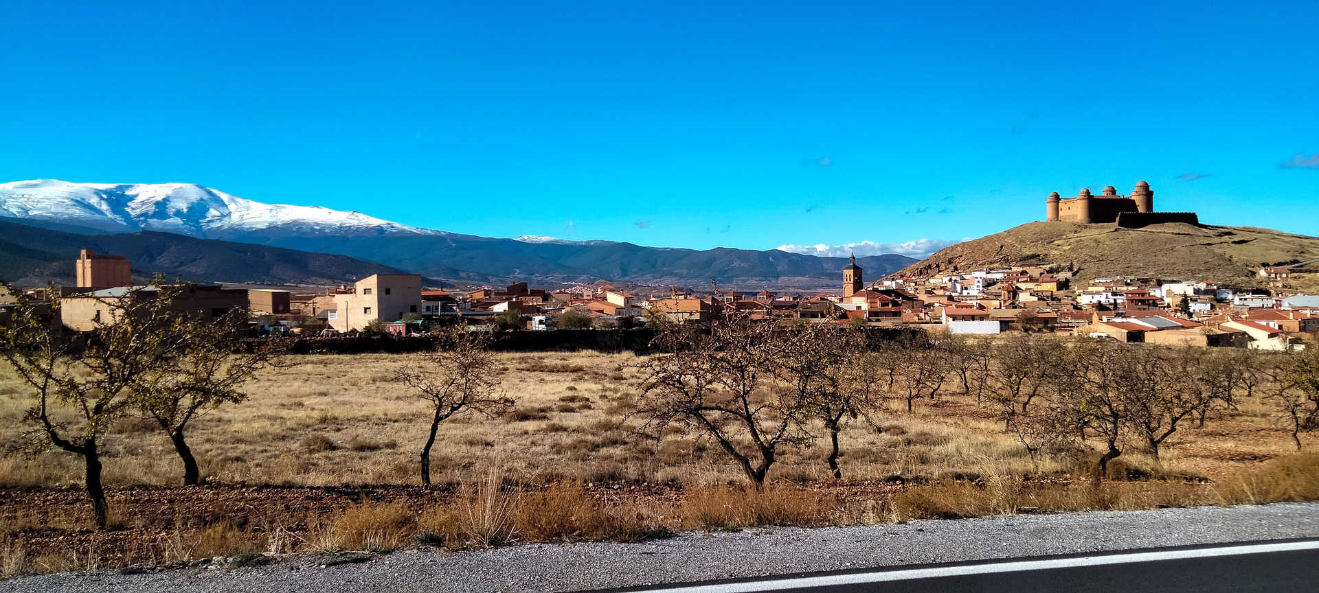
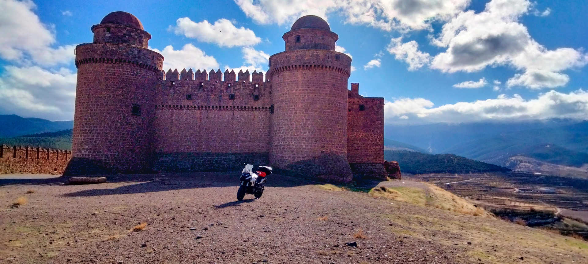
On the plain, the Marquesado del Zenete welcomes you with the imposing La Calahorra castle on the horizon (stop 9). For the more audacious with a trail bike, we recommend ascending to its watchtower on a track which, despite some difficulties, will be well worth it. In its north-eastern part are some very peculiar furnaces.
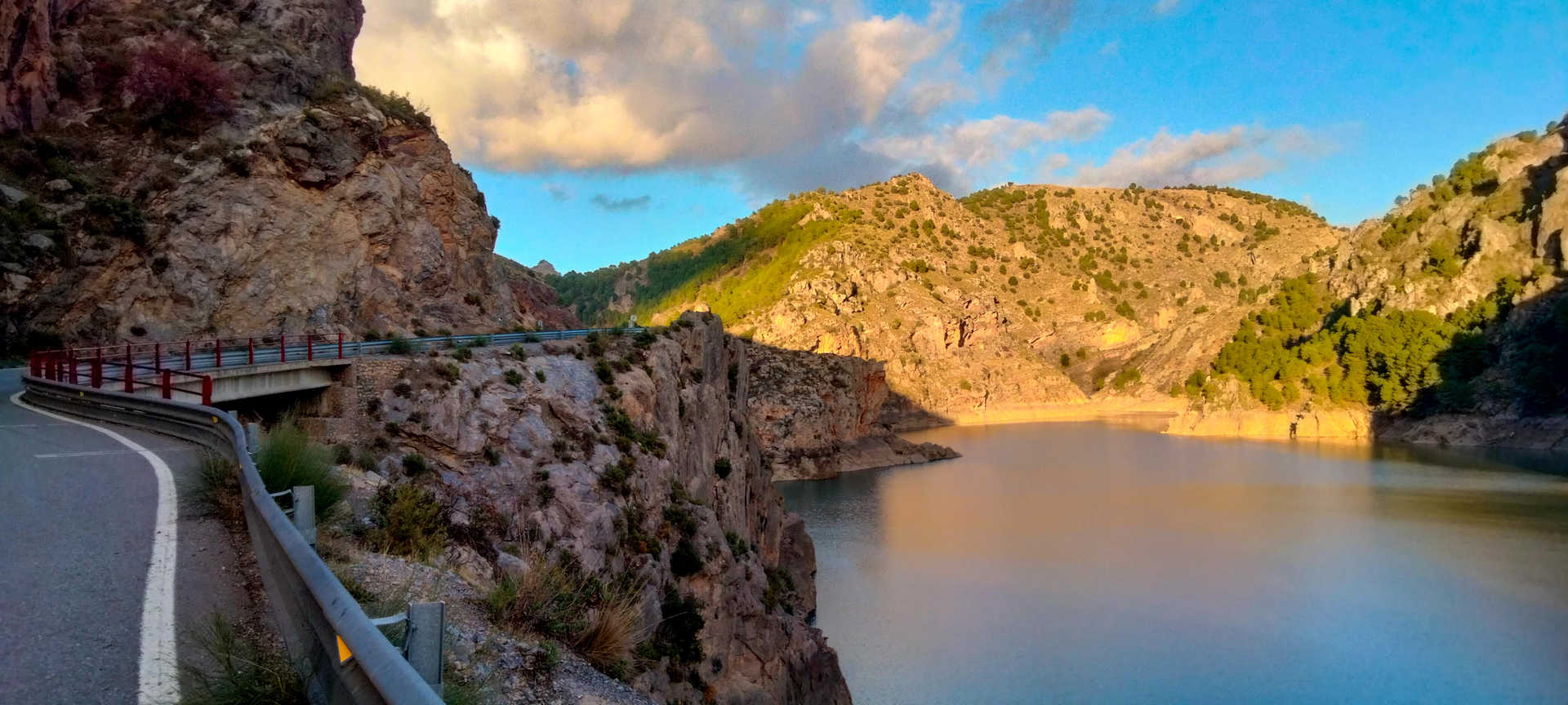
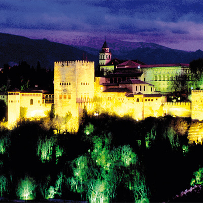
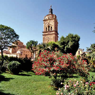
You walk in a straight line along a valley floor that millions of years ago was a lake. It is a huge plain which allows you to see the snow-capped peaks behind you. Ahead you will enter a unique desert landscape, the empire of the badlands, a spellbinding golden colour, and one of the world’s largest clusters of inhabited cave dwellings. In the distance you are greeted by the panoramic view of the capital of the district, Guadix (stop 10), which has a magnificent cathedral, a red beacon in an obstinately red land. You then turn onto the A-4100 and head west. Passing through the troglodyte village of Purullena, after a short stretch running parallel to the A92 highway, you turn off onto the GR-3201 and cross the Francisco Abellán reservoir dam and the village of La Peza. The road follows a spectacular, very winding route, with little traffic and stunning scenery. The valleys sink into the rocks surrounded by lush vegetation. After passing a second reservoir, Quéntar, and the villages of Quéntar and Dúdar, you continue your descent, the traffic increasing all the while, until you reach the incomparable World Heritage city of Granada (stop 11), the end point of the route.
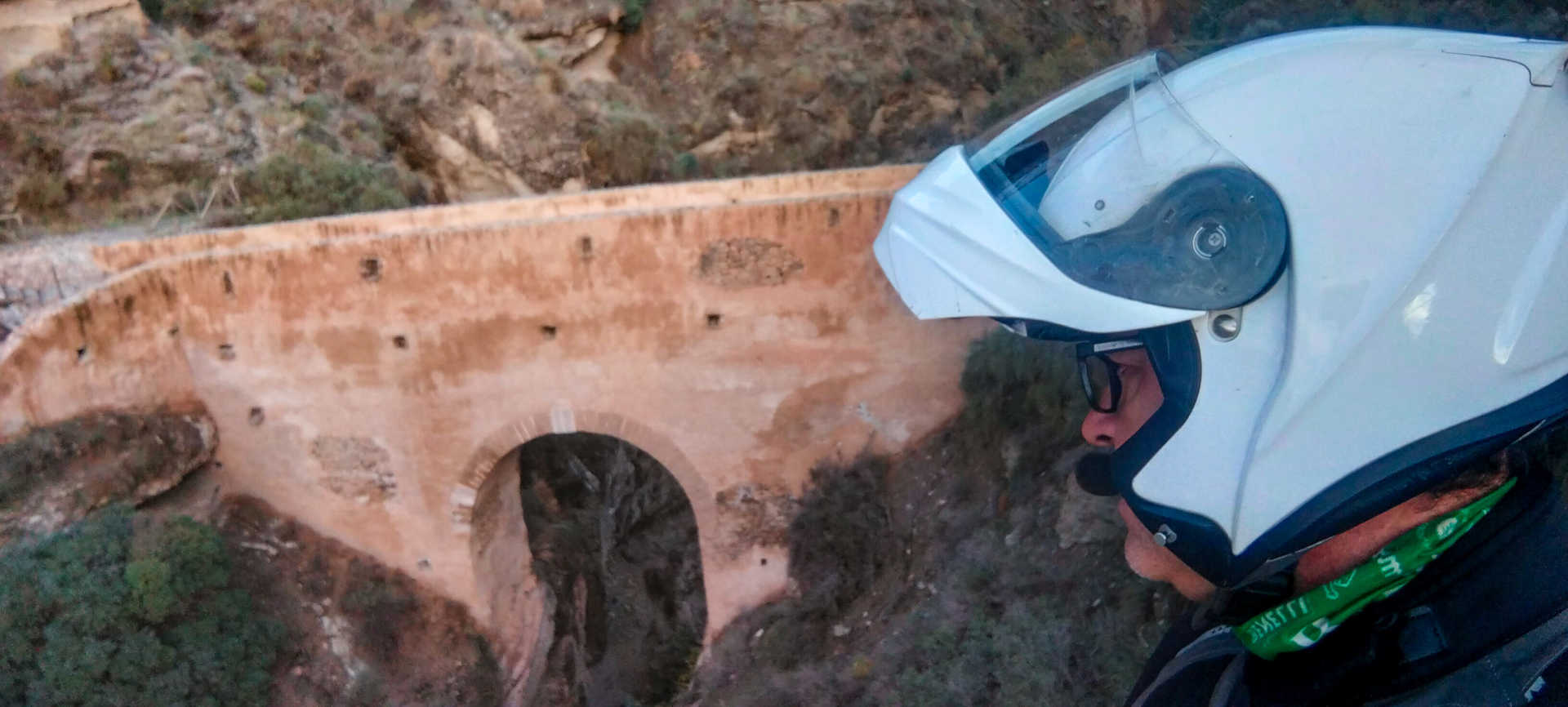
#puentenazarí selfie spot
The Nasrid Tablate bridge is considered the western gateway to the Alpujarras, via Granada. Plunging plumb over the old Camino Real between Granada and Las Alpujarras, it crosses a narrow, yet 100-metre-deep gorge. It is believed that its origins actually pre-date the Andalusian period, perhaps Roman. It has been rebuilt numerous times.
en
Read more
Itineraries
Alpujarras - Sierra Nevada route
Services and infrastructure
Target audiences
Couples, Friends, young people, I travel alone
Segments
Culture, Leisure and fun, Gastronomy, Sports
Specialties
Rutas por asfalto
Season
All year


EXPLORE ANDALUSIA
EXPERIENCES


