
Guadiana Nature Trail - GR 114.

In accordance with the Nature Trail Programme, the Ministry of Agriculture, Food and the Environment has created 113 routes, 47 of which are Vías Verdes (green-ways), the name given to them because they follow old railway lines.
The GR-114 - "Guadiana Nature Path" runs through much of Spain, from the source of the river between "Albacete and Ciudad Real" to its mouth in "Ayamonte". In short, no more or no less than over 850 km divided up into a total of 44 stages.
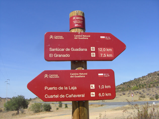
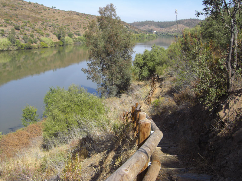
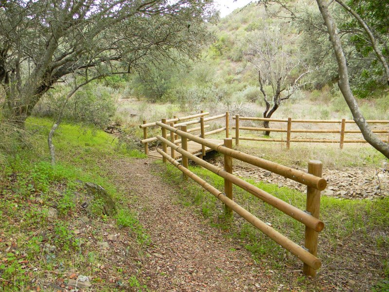
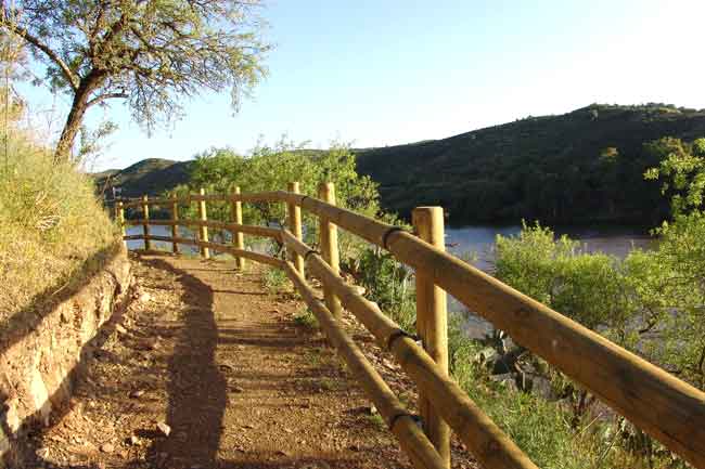
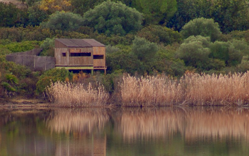
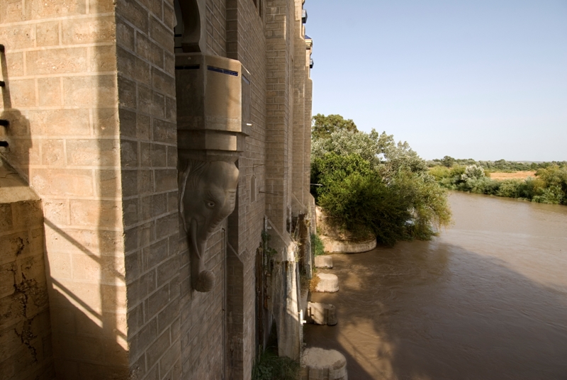
The trail is equipped with a lot of infrastructure, with bridges, stream crossings, viewpoints, rest areas and benches, amongst other things, and it can be done on foot, horseback and mountain bike. The fragment that runs through Huelva land, in Andalusia, is 86.15 km long divided into four stages.
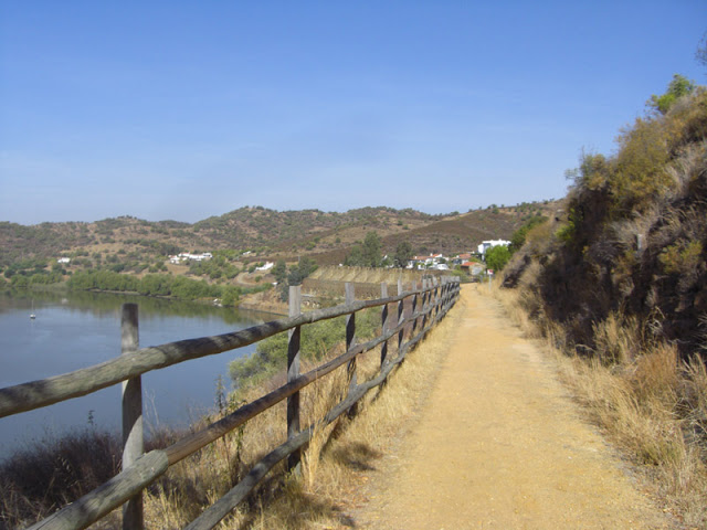
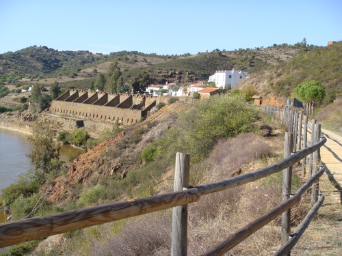
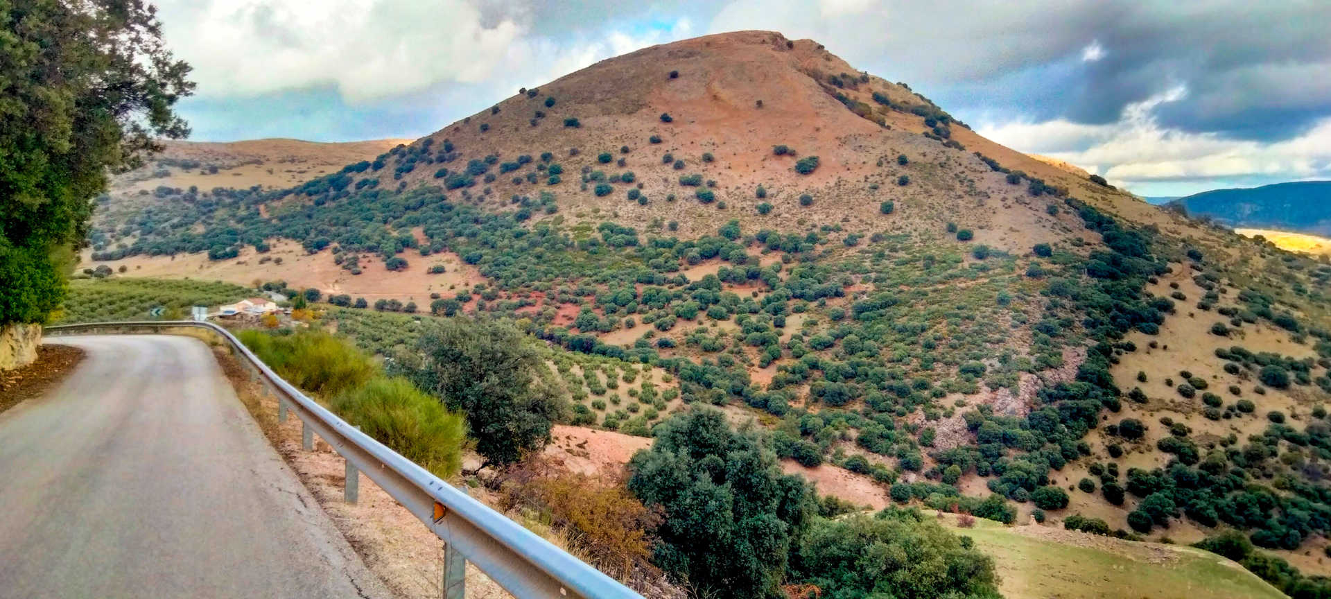
Stage 41. Ports and channels of the Guadiana. This stage is quite difficult at the beginning, as the path is flanked by abundant vegetation, and the trail is steep with constant uphill and downhill slopes. From the start, it runs parallel to the Guadiana river on its left bank until it reaches Puerto de La Laja, where the path turns east towards the town of El Granado. Then it turns back towards Guadiana, and ends in the town of Sanlúcar. This stage runs between trenches, small bridges and tunnels built for the railway that once brought mineral from the interior of the region.
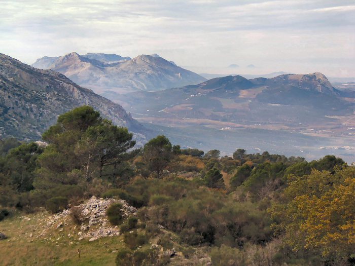
Stage 42. Through the Beautiful Relief of the Border. This section takes walkers through sinuous, highly valued landscapes of striking contrasts. The mountainous landscape is interspersed with flat areas, the river appearing and disappearing all the time, always in front as a central reference.
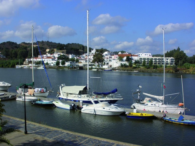
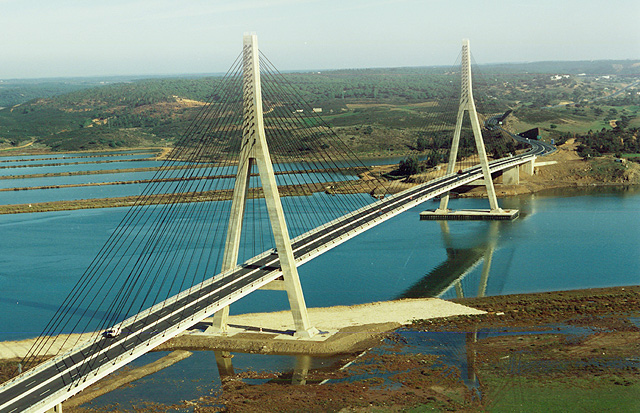
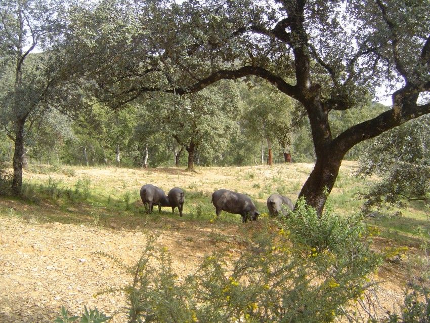
Stage 43. On a mill path. This stage is characterised for being easy. It runs entirely along wide dirt tracks, away from the Guadiana river, along the Zaballa path which is a traditional livestock trail. Important wind energy facilities mark the first half of the route that goes through olive fields and meadows. The slopes become more gentle and the terrain more even. In the distance, you can always make out El Centenario bridge, close to Ayamonte.
Stage 44. You can now smell the sea. This stage starts in the town of Villablanca. This path is simple and accessible because the terrain is very flat with few slopes. You can enjoy the feel of the breeze from the nearby ocean.
Type of Trail: Linear. Trail Status: Approved and Signposted 2012. Total Length: 86.15 km. Sections: 4 stages in Andalusia Accessibility: Suitable for walking and, except for some sections, horseback or mountain bike. Topographic guide: See stages from 41 to 44. Cartographic information: I.G.N./S.G.E. Scale 1:50.000. Pages: 958 – 980 and 998
Itineraries
Services and infrastructure
Segments
Season
You may be interested


EXPLORE ANDALUSIA
EXPERIENCES


