
Huelva Coast route
Route of light
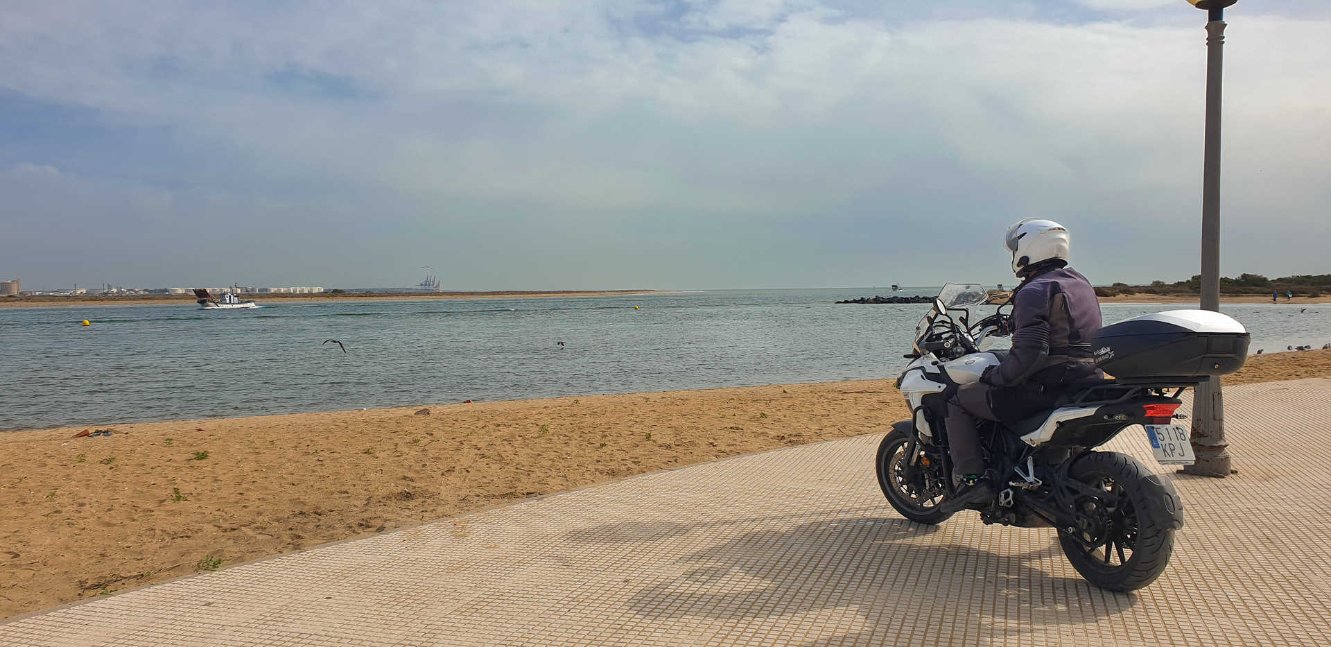
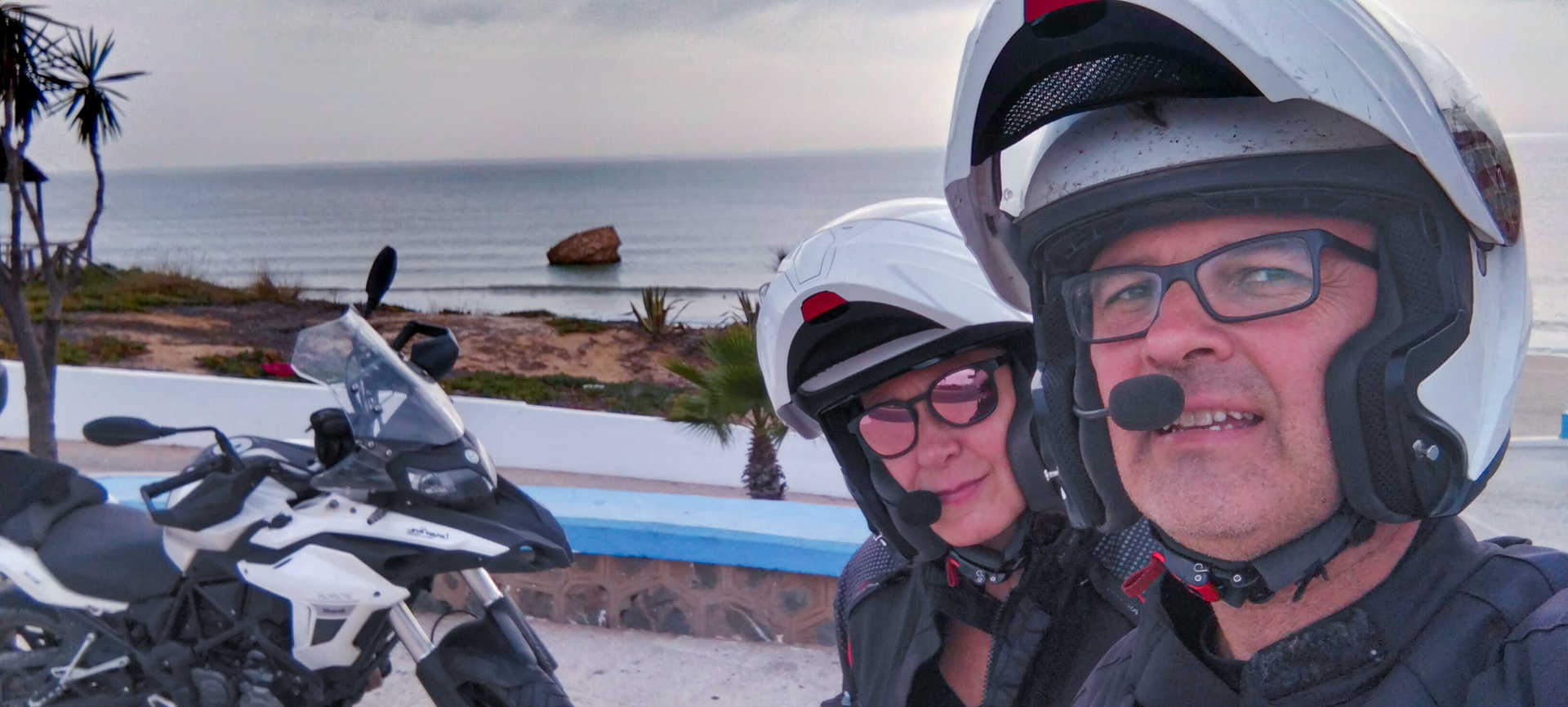
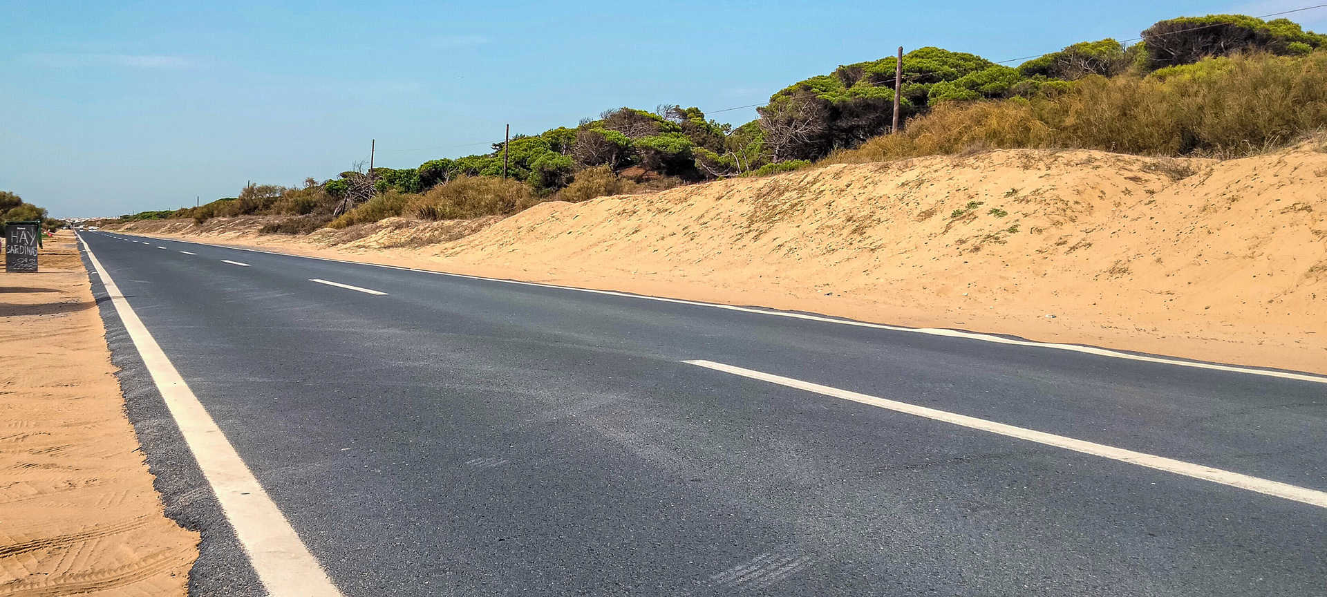
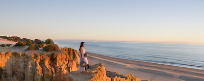
There is something of the seafarer in the spirit of motorcyclists, ever at the mercy of the wind, tiny amidst such immensity. On this simple and pleasant route along the Huelva coast you sail along roads that lead you from port to port and from beach to beach to the rhythm of the tides, all the while discovering multiple refuges where you can enjoy a break along the way. On a route like this, with more than 150 kilometres at the mercy of the sea breeze and feeling the scent of salt enveloping your body, will be living life on the edge! It features open, flat, straight roads, with the Atlantic Ocean as a constant companion. It is a route, suitable for doing at any time of year, to awaken long-forgotten pleasures, to feel that special sensation that radiates from the luminosity of the Huelva coast.
On route
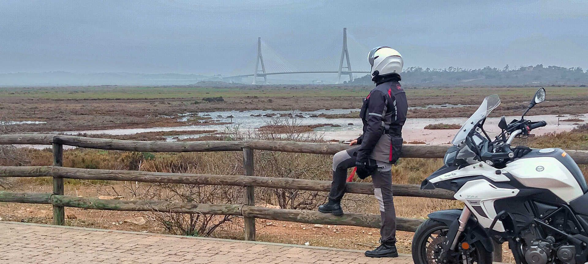
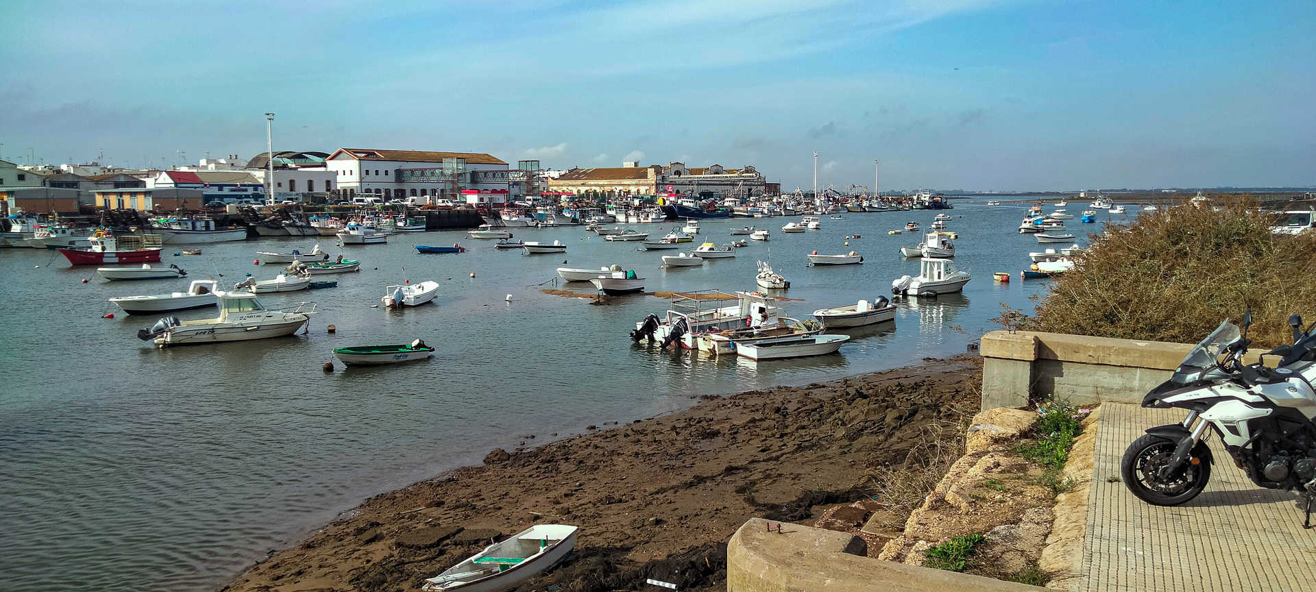
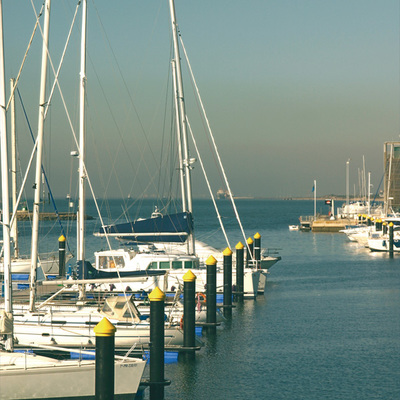
It begins at one of the cardinal points of Spain, on the border with Portugal. The Guadiana flows under the great International Bridge (stop 1) that connects Spain with its neighbour, where the fresh water of the river flows into the ‘ocean sea’. From the bridge connecting Ayamonte to its Portuguese counterpart Vila Real de Sto. Antonio, the panorama of its mouth is spectacular. In silence, overlooking the river, the village and its small fishing boats recount, with a certain melancholy, the stories of their past. Ayamonte will surprise you will its frontier character, but also due to the little ferry which will take you to Portugal in a short trip, and because of its pleasant marina, in the estuary and on foot in the town centre.
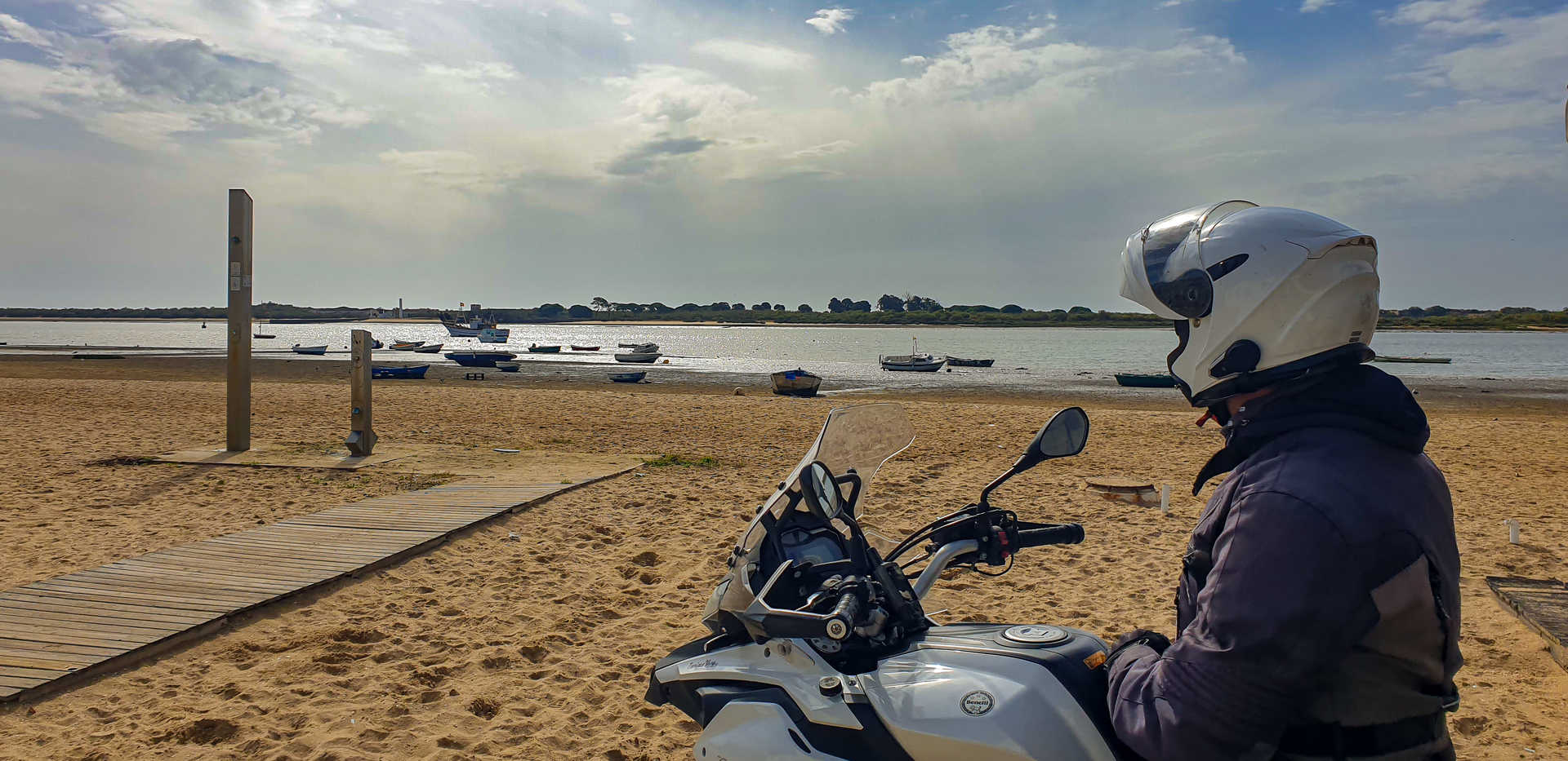
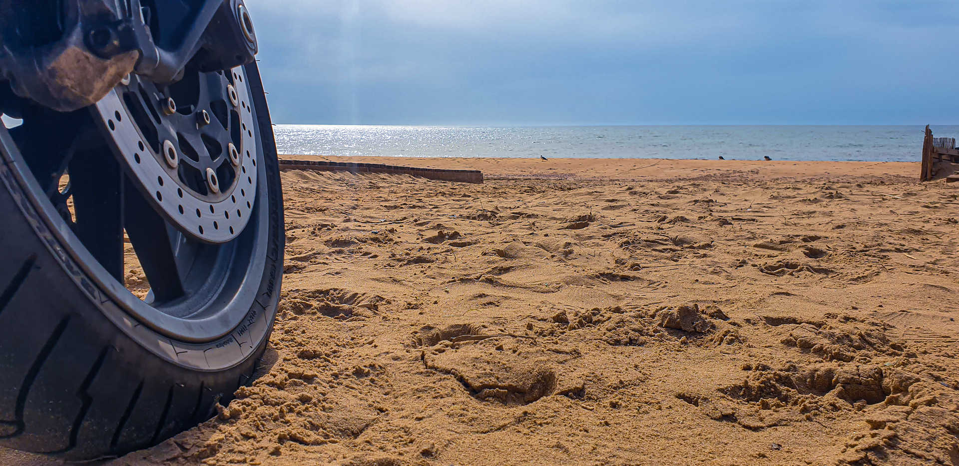
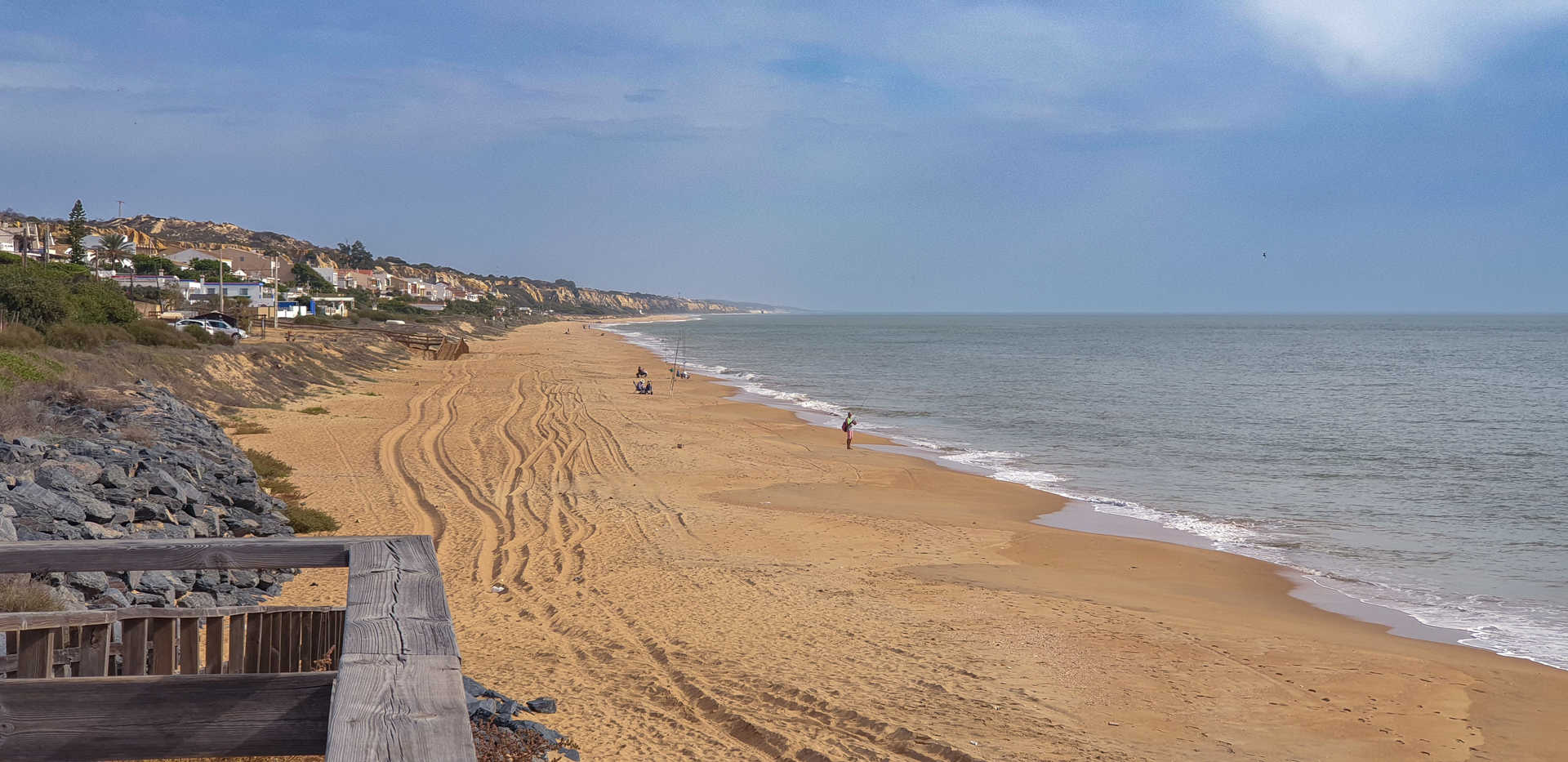
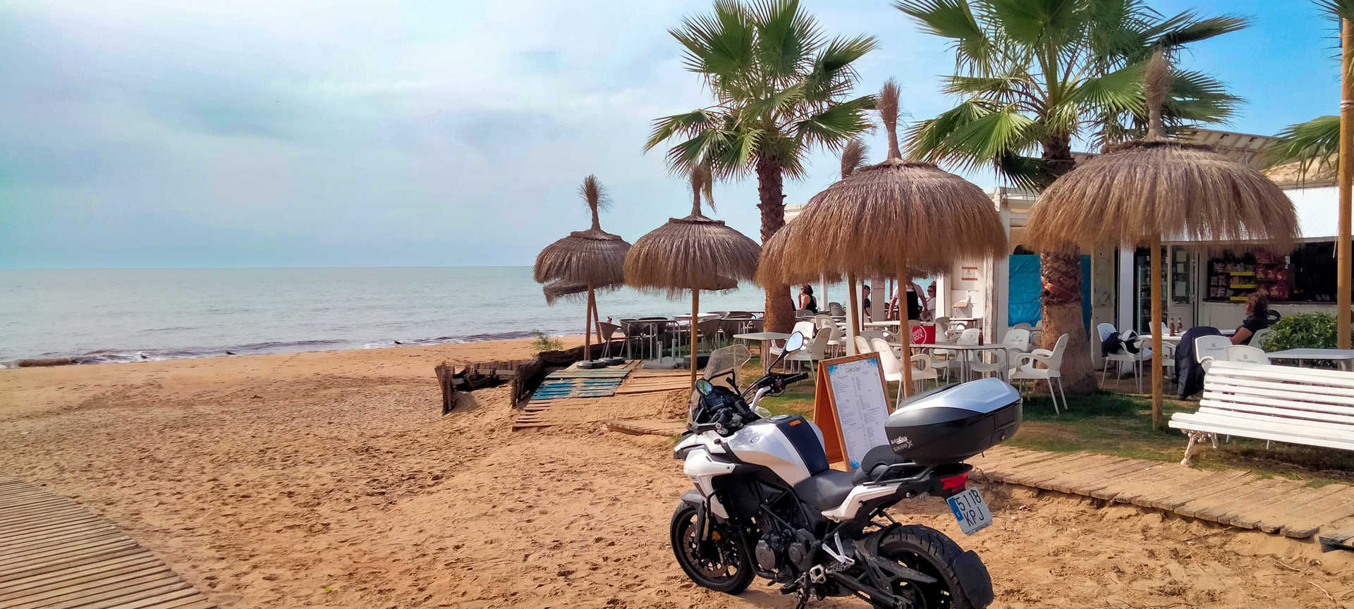
To reach Isla Cristina you take a straight road running through the salt marshes and salt flats, skirting the natural landscape. It is worth visiting its bustling fishing port (stop 2). Located in the Ria Carreras, it is the most important one in the province of Huelva and offers spectacular sunsets. The route continues along a straight and easy road, winding through pine forests and parallel to the coast. It has numerous entrances that lead to a very long, almost unspoilt beach, interrupted only by the tourist resorts of Islantilla and La Antilla. Take care in summer because of the increased traffic.
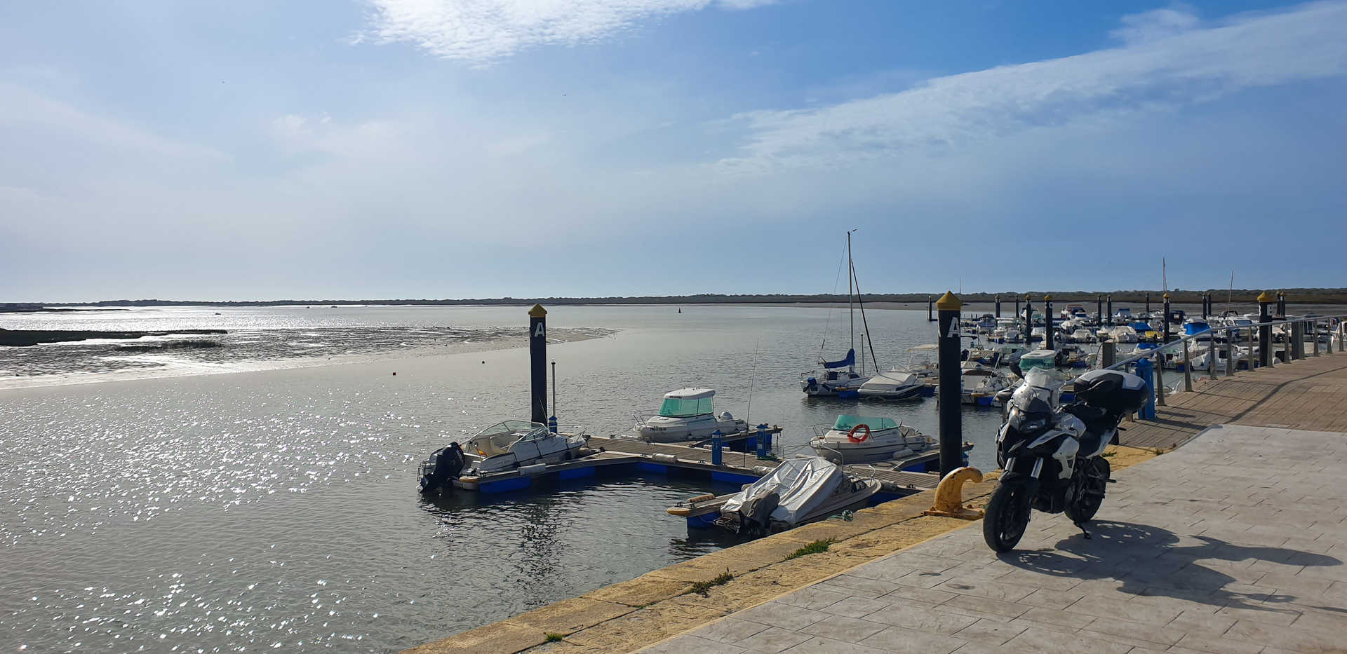
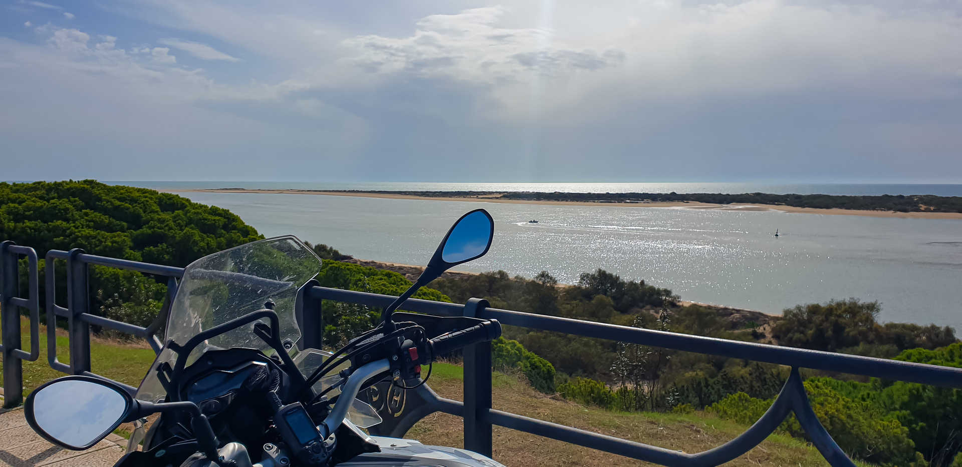
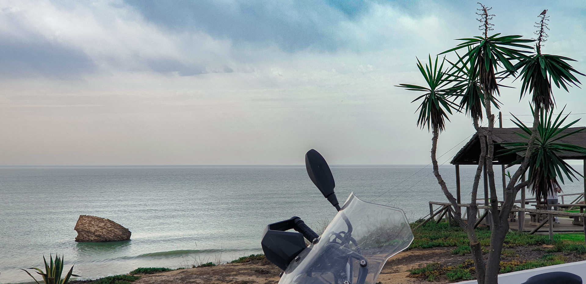
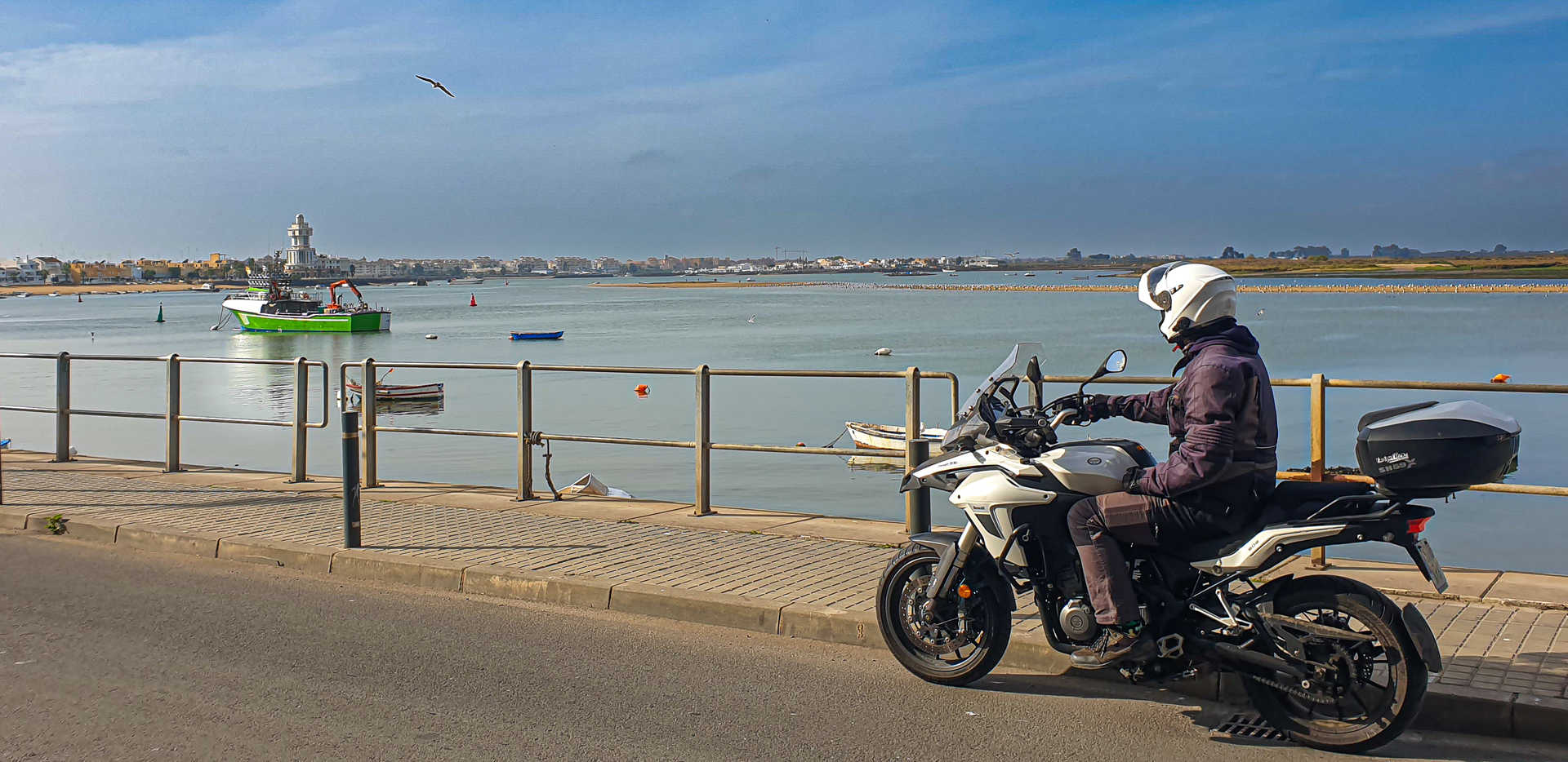
Continuing the route through coastal villages with a seafaring flavour, you will reach the small port of El Terrón (stop 3), at the end of the Ría del Piedras estuary. It is a great place to recharge your batteries in its authentic fishermen’s taverns. You then briefly move away from the coast to head inland, passing through the villages of Lepe and Cartaya (stop 4). Take care with the road that leads to the pleasant port of El Rompido (stop 5), as there is heavy traffic all year round. There are many restaurants by the beach, a good place to try the famous Huelva white prawns, wedge clams, fried or grilled fish, cuttlefish or tuna stews, skate with paprika and a whole host of traditional seafood dishes. You will then ride through pine forests, parallel to the Flecha de El Rompido, an immense spit of land separating the estuary from the sea, beside the mouth of the River Piedras. On the way, a unique forest of junipers, savins and pines shows the way to follow to enjoy a beautiful sunset every evening. It is well worth stopping at the vantage point (stop 6) to enjoy the spectacular scenery.
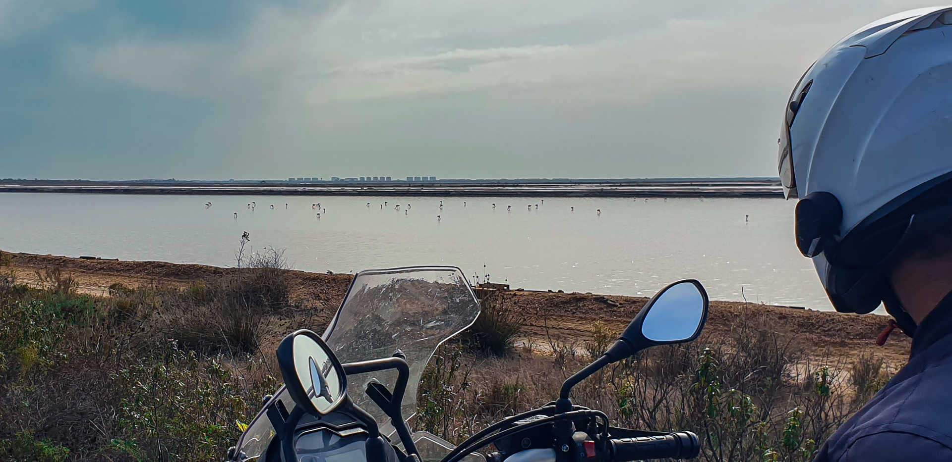
After passing El Portil, the dunes threaten to encroach on the road while the pine trees will accompany you to nearby Punta Umbría, another fishing village with endless beaches. You will then reach Huelva on the highway. Here you can take the signposted diversion and walk along the Juan Carlos I dyke (stop 7). As the longest breakwater in Spain, it crosses the Odiel marshes natural site. You are sure to find flamingos in the salt flats and by the roadside.
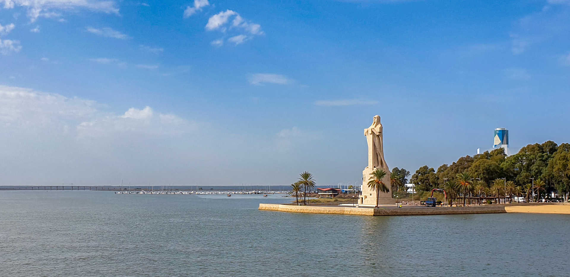
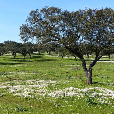
After an attractive visit to Huelva (stop 8), which some say is the forgotten Atlantis, you leave the city via the Columbus monument. Donated by the United States in 1929, it rises where the waters of the rivers Tinto and Odiel meet to empty into the Atlantic. Facing it are the Carabelas quay and the La Rábida monastery. You cross the N-442 through the Polo Químico before passing Mazagón and entering the Doñana Natural Park. You now ride on the A-494 parallel to the coast, along a straight road running between dunes and pine groves until arriving at Matalascañas beach (stop 9). With a 90º turn, you leave the coast for good and take a broad, straight road that will lead you to the end of the route, the village of El Rocío. In the heart of the park you are greeted by the striking whitewashed image of its hermitage, which stands beside the La Rocina marshes.
#tapon selfie spot
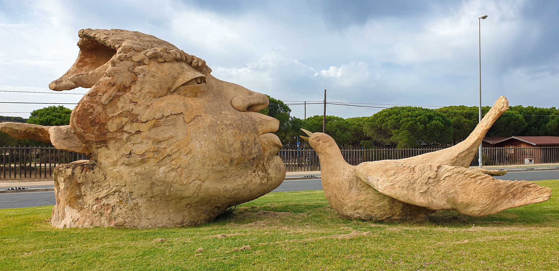
‘Tapón de Matalascañas’ (Matalascañas ‘plug’) or Torre de la Higuera. Standing on Castilla beach, it is the remnants of a 16th-century watchtower. Built to defend the coast from corsairs and pirates, it was destroyed twice, in the 1755 Lisbon earthquake and in the subsequent tsunami. It is listed as an Asset of Cultural Interest.
en
Read more
Itineraries


Huelva Coast route
Services and infrastructure
Target audiences
I travel alone, Friends, young people, Couples
Segments
Sports, Culture, Leisure and fun, Gastronomy
Specialties
Rutas por asfalto
Season
All year


EXPLORE ANDALUSIA
EXPERIENCES


