
Estación de Vuelo Libre de Órgiva-Soportújar
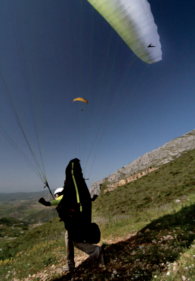
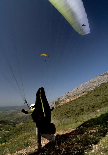
Thanks to its geographical location, in the heart of the Granada Alpujarras, this flying site presents a particularly attractive option, with its high launch site providing some amazing views.
The spacious launch area helps when it comes to competitions and festivals, since a number of launches are possible at one time, an important possibility for group events. Its location in central Andalusia means it is well situated for groups of pilots who have travelled from elsewhere in Spain or abroad.
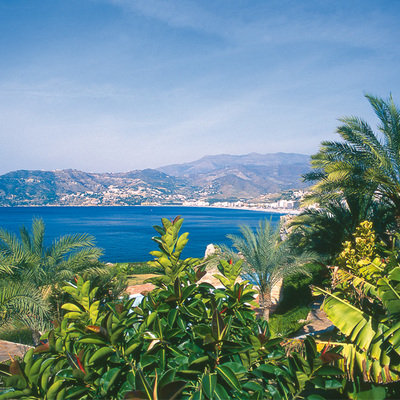
Between Soportújar, Órgiva and the Barranco del Poqueira valley, below the Sierra Nevada massif, is some exceptional natural scenery, with a great number of water features. Together, the municipalities of the Barranco valley (Pampaneira, Bubión and Capileira) form one of the most impressive arrays of vernacular architecture in Andalusia, and even the Peninsula.
Climate
This area's climate is determined by it geographical situation: in the southeast of the peninsula; its east-west situation, parallel to the coast; and the presence of large differences of altitude in relatively short distances.
These circumstances create major climate differences that vary from the sub-tropical climate present on the coast, to the Alpine tundra of the highest summits. In terms of temperatures, a similar variety is present here; from the average of 2º-4º on the summits to the 16º-18º in coastal areas.
The best flying period is the winter, which offers thermal flying with acceptable temperatures, since the area is protected from the strong winter winds of the coastal strip. On summer afternoons, between 16:00 and 19:00, the sun's strength creates powerful thermals; when these come into contact with the wind, this can cause violent gusts (and equally sudden calms), so please be careful.
Launch sites Nuevo Padre Eterno Coordinates: 36º 56’ 20.22’’ N / 03º 23’ 38.75’’ W. Orientation: Southwest. Altitude: 1,500 metres. Drop: 1,200 metres. Dimensions: Launch site: approx. 80 m x 40 m. Access: Taking the road from Órgiva to Pampaneira, pass Soportújar on the left and, at the Padre Eterno chapel take a left turn, which climbs to the launch site on a surfaced road. Parking: Not marked, but normally people park at the side of the access road. Precautions: * In summer, during the hottest time of day, the thermals meet the wind causing strong gusts on the valley floor; it is recommended that these be avoided. * There is a power line about 200 metres below the launch site. Landing sites East landing site (Los Tablones) Coordinates: 36º 53’ 12.96’’ N / 03º 23’ 43.20’’ W. Access: Take the road that leaves from Los Tablones towards the river, going east. The landing site is on the river bank. Altitude: 330 metres. Parking: Not marked, but normally people park at the side of the access road. Precautions: * Due to its location on the valley floor, it is recommended that pilots do not fly on days with a strong east wind, days with winds stronger than 20 Km/hour from the west and during the hottest part of the day, to avoid gusting wind on the valley floor. * The landing site is on the river bank, which means that in winter and after heavy rain the site is smaller because of the height of the water.
Services and infrastructure
Target audiences
Segments
Type of activity
Season


EXPLORE ANDALUSIA
EXPERIENCES


