
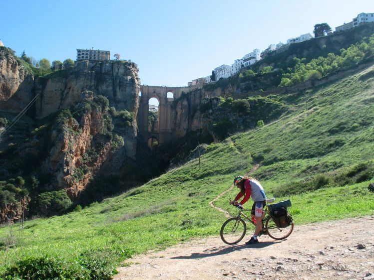
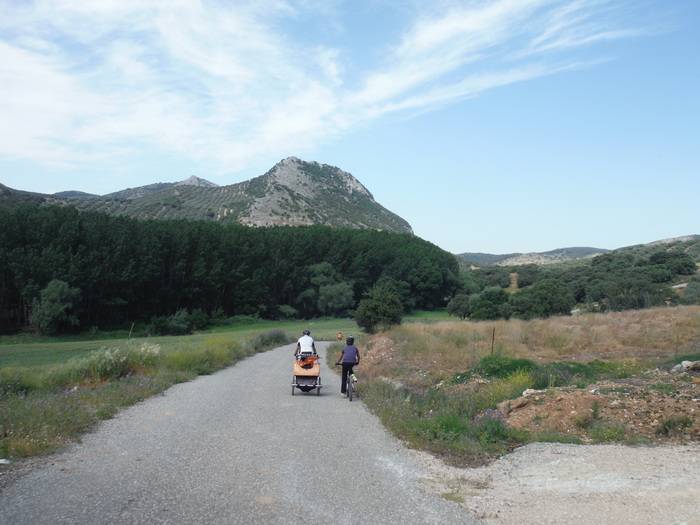
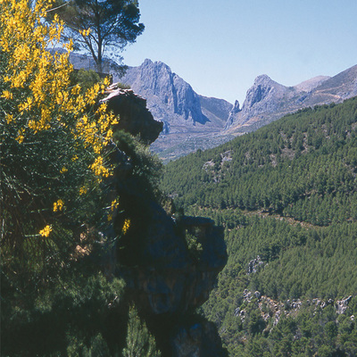
Chamizo - Sierra de Camarolos
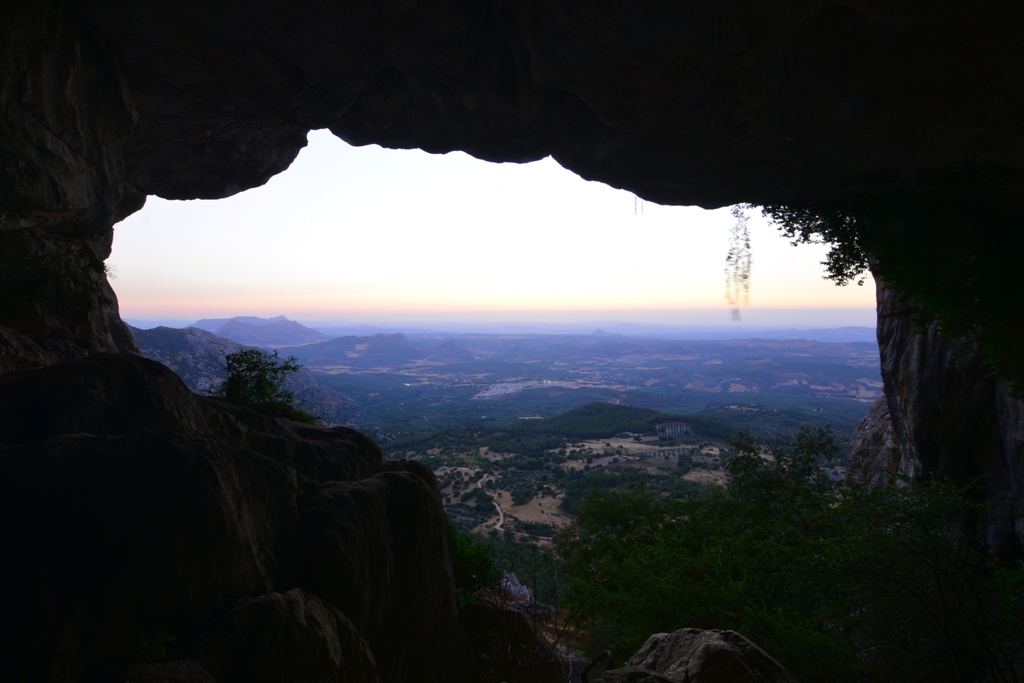
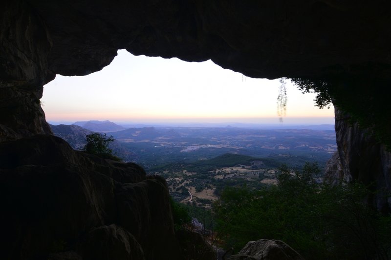
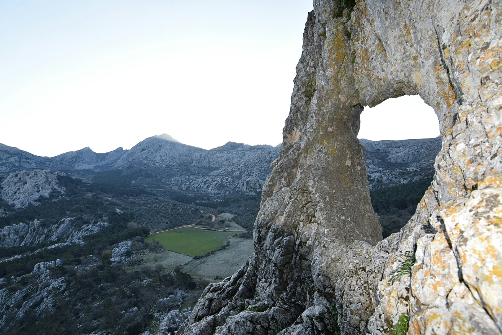
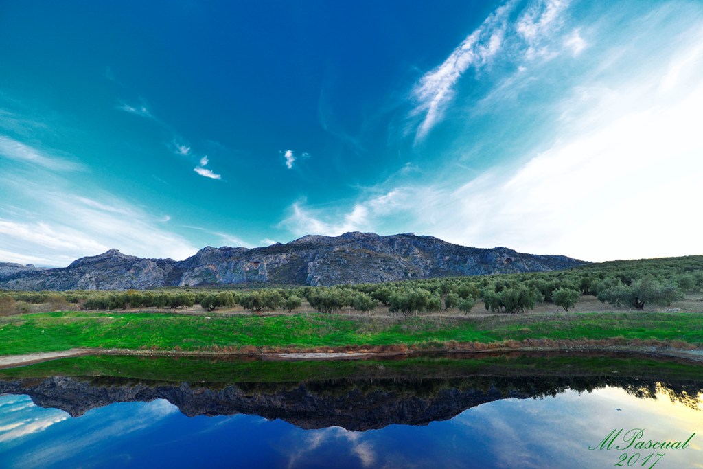
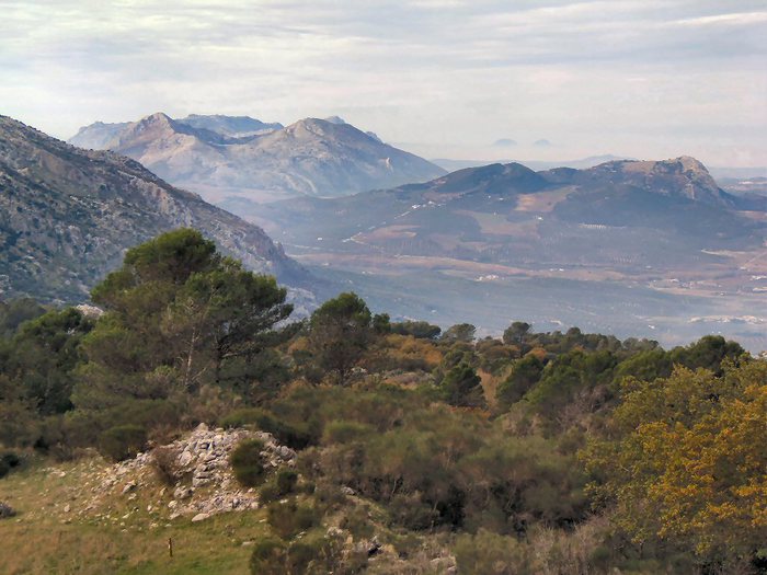
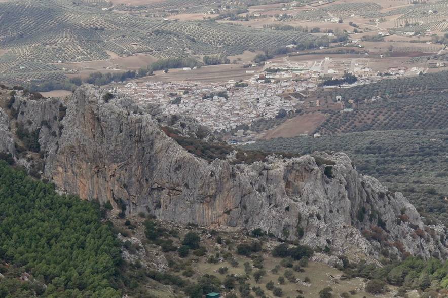
The beautiful yet difficult Chamizo - Sierra de Camarolos Route trails through the most spectacular landscape in the Villanueva del Rosario area in a display of karst scenery of unrivalled value.
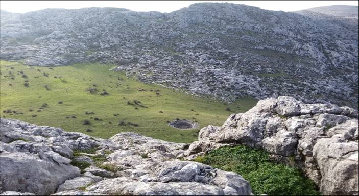
Sierra de Camarolos is a mountain range that forms a part of the Antequerana Mountain Range, which is a mountainous massif of unmatchable beauty where the Guadalhorce and Guadalmedina rivers are born, separating the Hollow of Antequera, where Villanueva del Rosario is located, from Malaga's Axarquía region.
Among dominant vegetation represented by mixed formations of oaks, gall oaks and maple trees, it is not a difficult to spot mountain goats as well as a large number of birds of prey flying through the clear skies of this magnificent mountain range.
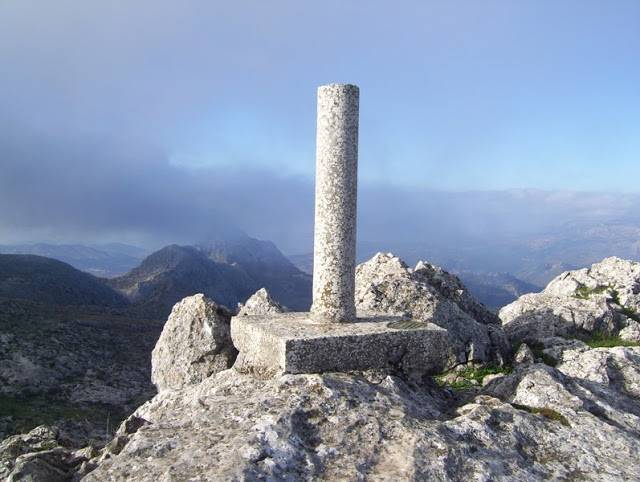
Distance: 13.8 km. Approximate duration: 7h 46m. Route: Circular. Difficulty: Moderate. Maximum altitude: 1,639m.
Itineraries
Services and infrastructure
Target audiences
Segments
Season
You may be interested

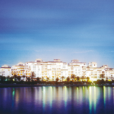

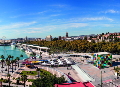

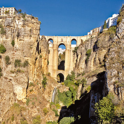
EXPLORE ANDALUSIA
EXPERIENCES


