
Ruta de los Tajos
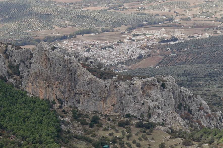
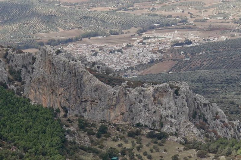
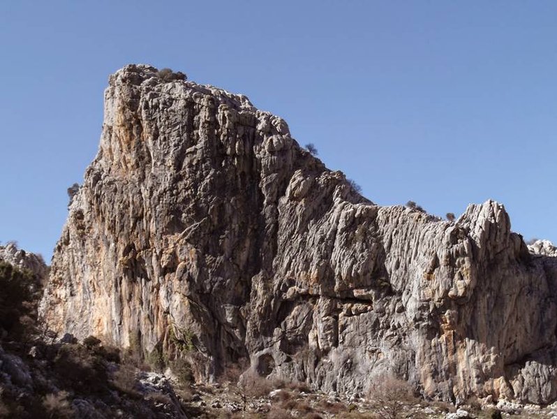
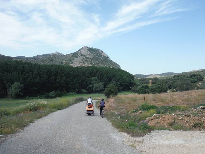
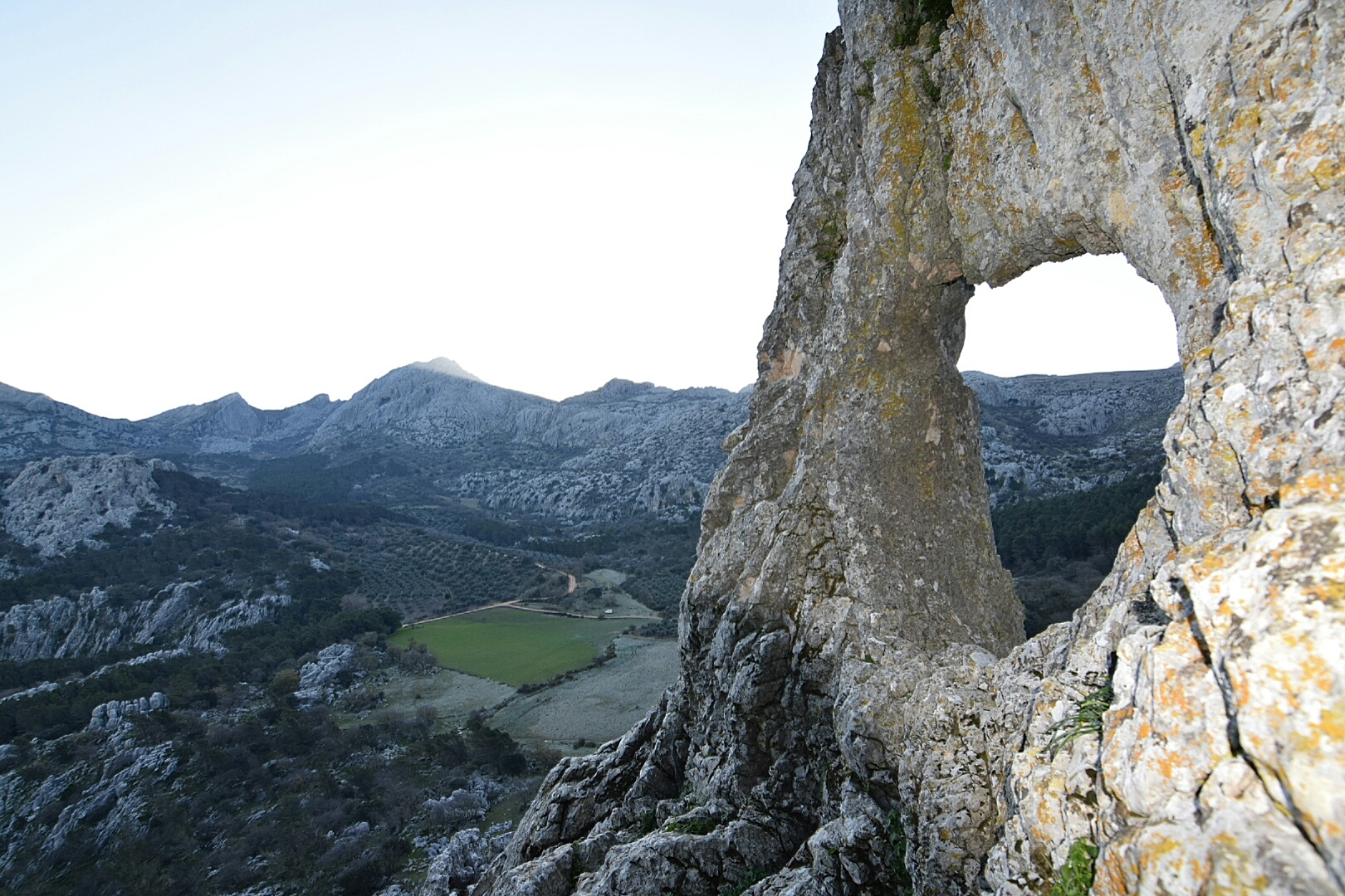
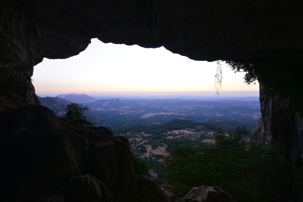
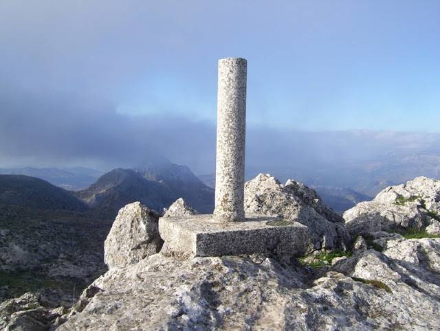
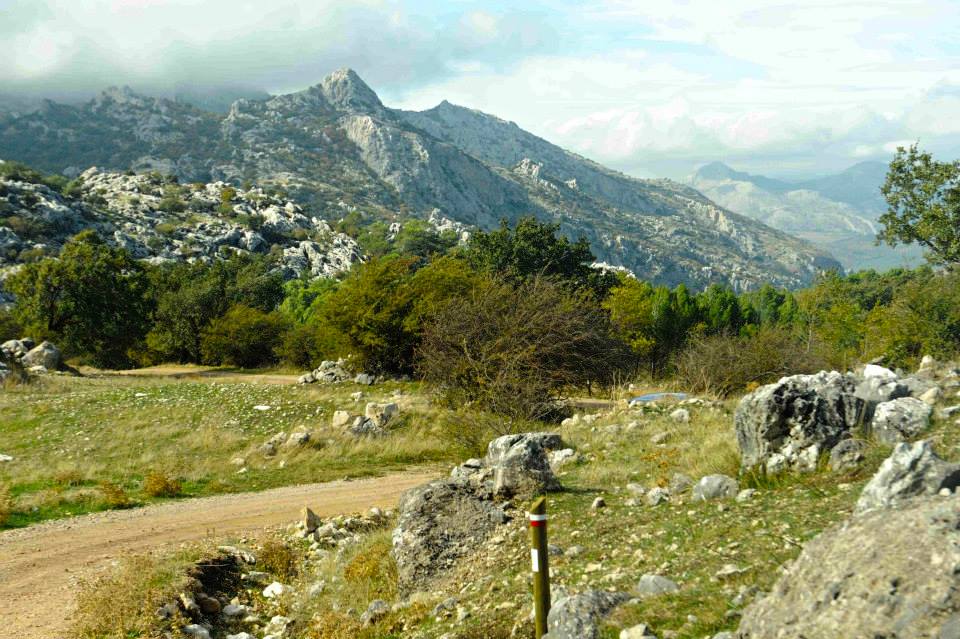
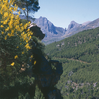
A local trail marked by the Local Government of Villanueva del Rosario, the Ruta de los Tajos offers a magnificent journey that runs through the Sierra de Camarolos and that enables you to observe numerous gorges and canyons, along with spectacular views.
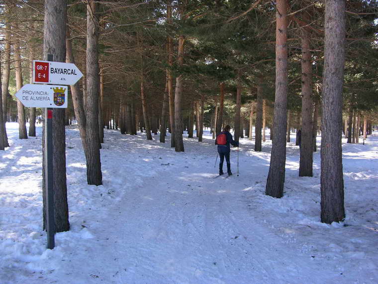
The scenic beauty is complemented with a wealth of natural vegetation. Gorges such as La Madera (which is extremely sheer) and El Arroyo de Los Portillos appear along the way. At the end of the tough climb, among pine trees, you can take in the view of a beautiful mixed forest of oak, gall oak and maple trees in the heart of the Sierra de Camarolos.
Distance: 5.7 km. Approximate duration: 5h 32m. Route: Linear. Difficulty: High.
en
Read more
Itineraries
Contact information
Copied to clipboard
Services and infrastructure
Segments
Sports, Nature
Season
Winter, Summer, Autumn, Spring
You may be interested
Cuevas de San Marcos, Aldeire, Priego de Córdoba, Cazorla, ...
Villanueva del Rosario
Villanueva del Rosario
Villanueva del Rosario
Villanueva del Trabuco, Burgo, El, Ardales, Ronda, ...
Villanueva del Rosario
Villanueva del Rosario
Casares, Sedella, Ardales, Salares, ...


EXPLORE ANDALUSIA
EXPERIENCES


