
Ruta de las Fuentes - Villanueva del Rosario
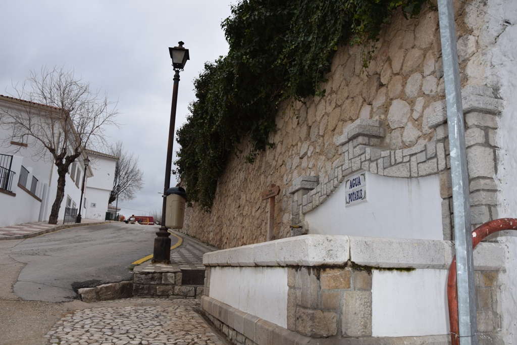
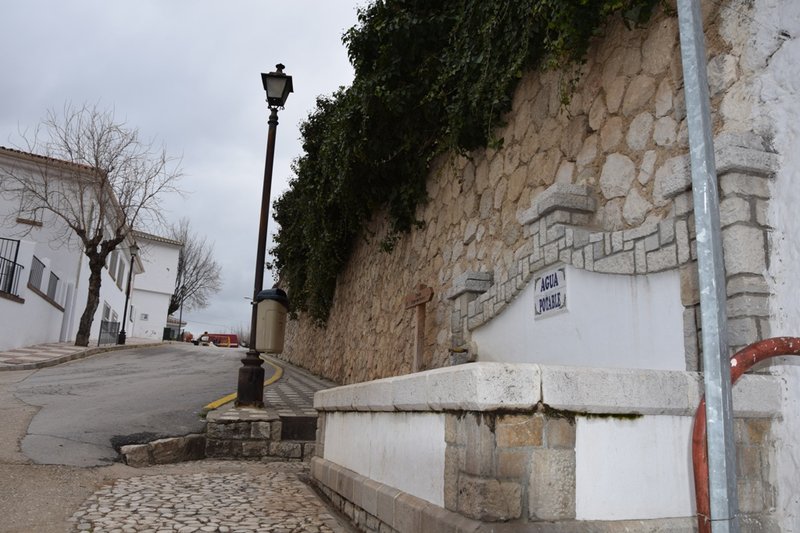
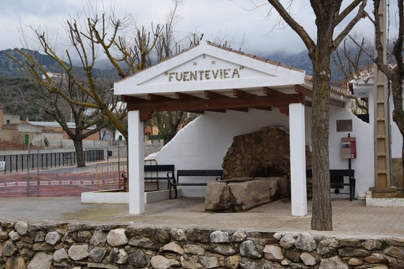
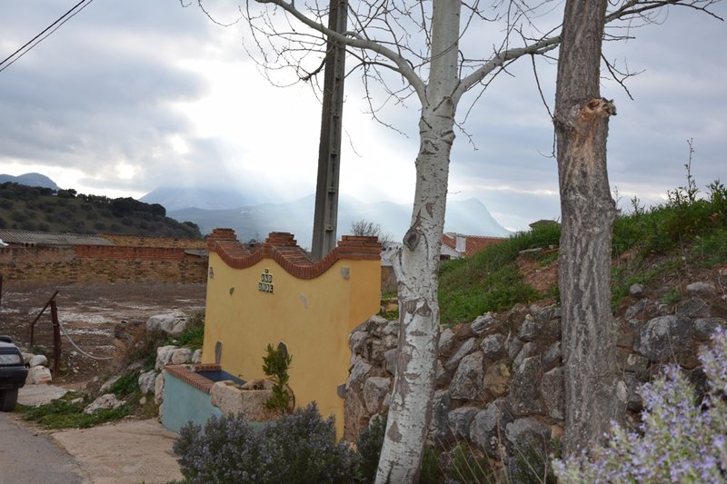
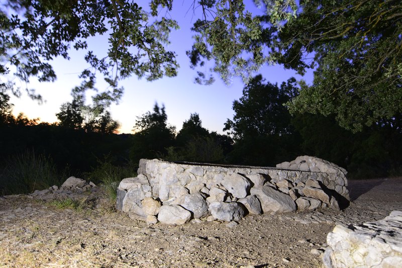
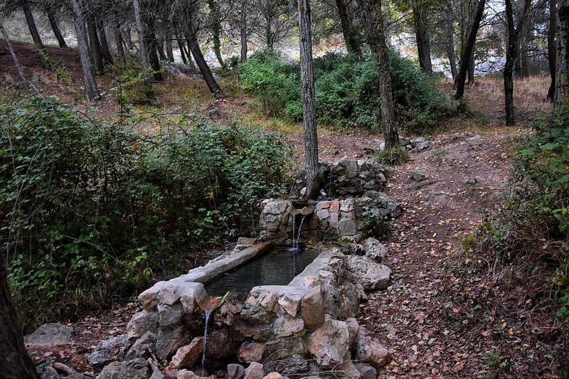
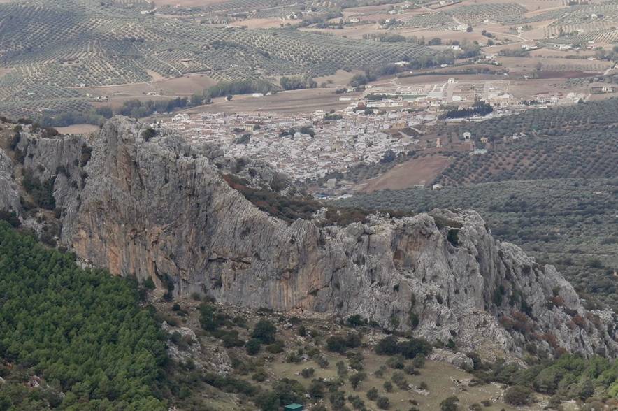
The stunning Ruta de las Fuentes offers an interesting journey around the surrounding areas of the mountains that encircle the town of Villanueva del Rosario, on a trail that connects several of the water sources and springs that trickle from the aquifer of the Sierras del Jobo and Camarolos.
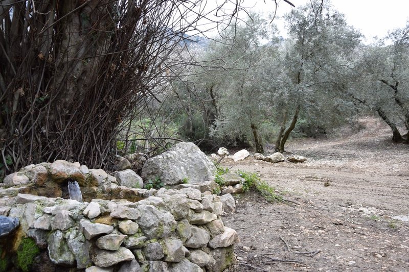
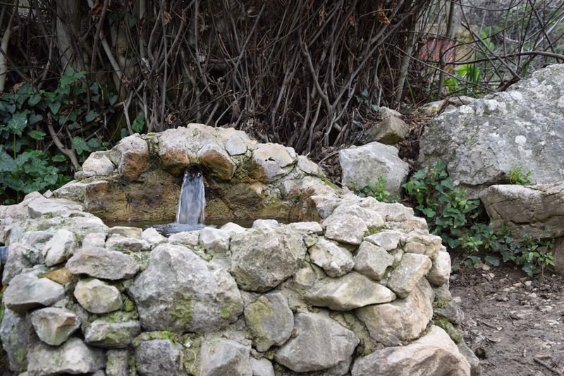
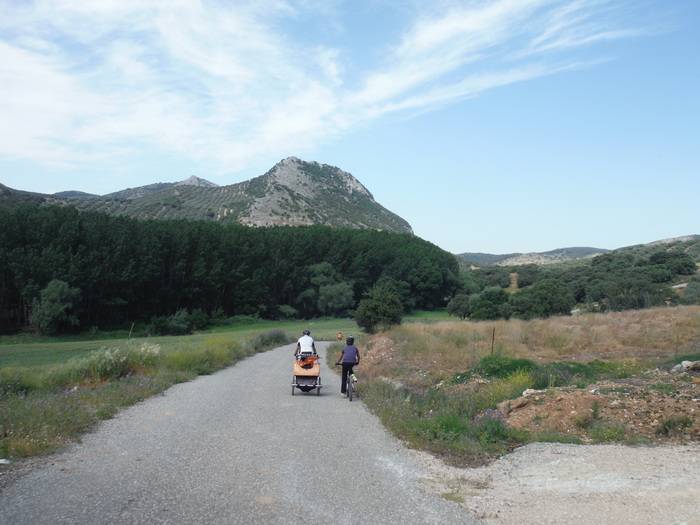
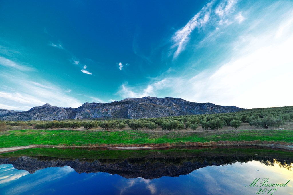
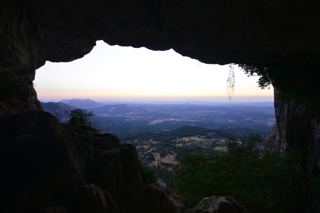
The route starts from the Camino de la Fuente Nueva and climbs wide lanes that lead to a scenic mosaic formed by crops, pines, holm oaks and Mediterranean scrubland, finishing at El Nacimiento. This water source is known as El Chorro and, situated in the vicinity of La Virgen del Rosario Shrine, it feeds into the Cerezo River, which is an important tributary of the Guadalhorce at its upper section. On the route you can see the springs named Canalejas, El Reigón and La Zarza.
Distance: 14.32 km. Approximate duration: 4h 24m. Route: Circular. Difficulty: Average. Maximum altitude: 954m.
Itineraries
Services and infrastructure
Segments
Season
You may be interested


EXPLORE ANDALUSIA
EXPERIENCES


