
Axarquía route
Thousands of curves overlooking the Mediterranean
Beginning in the capital of the Costa del Sol, on this route you will discover the Malaga Mountains and the heart of Axarquía, a land of deep Moorish roots. If you are seeking to lose yourself in the mountain and feel the sea breeze on your face, here you will enjoy the winding roads that will immerse you in this enchanting Malaga district. High mountains bathed by the Mediterranean, spectacular landscapes, white villages on slopes and perched on the rocky outctrops, a glimpse of the tropical climate and its crops, and thousands of bends that will thrill you on your motorbike. A very intense route, not many kilometres long but packed with sensations, to enjoy your motorbike to the full at any time of year.
On route
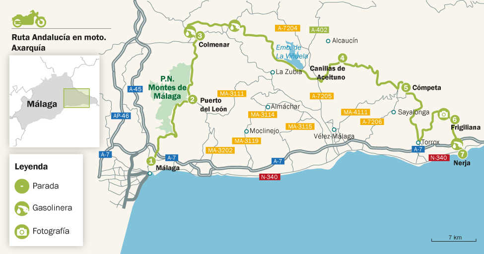
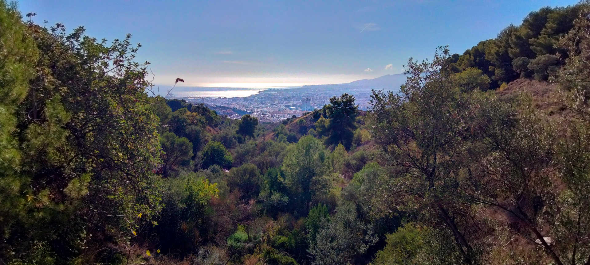
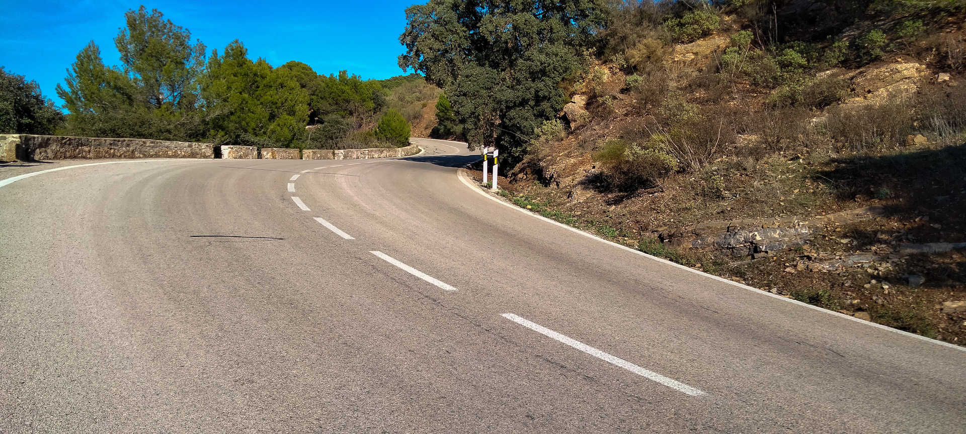
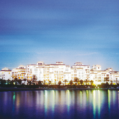
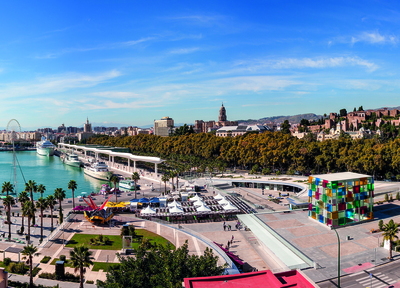
Leaving behind the profile of Gibralfaro Castle, as well as the Alcazaba and the Roman Theatre at its feet, you leave the city of Málaga from the area of Olletas (stop 1). You climb the “Carretera de los Montes”, one of the area’s favourite routes for motorcyclists. You will quickly gain altitude on a wide, meandering road with heavy traffic, especially at weekends. There you will find a number of vantage points where you can stop, look around and admire the splendid coastal panoramas. There are also plenty of country inns where you can stop for breakfast or lunch. Skirting the Montes de Málaga natural park on the A-7000, after a few kilometres you will reach the Puerto del León (stop 2), at an altitude of 900 metres, after having passed through two tie knots. 360º curves that will allow you to gain altitude in a landscape that has historically been marked by wine and raisin production.
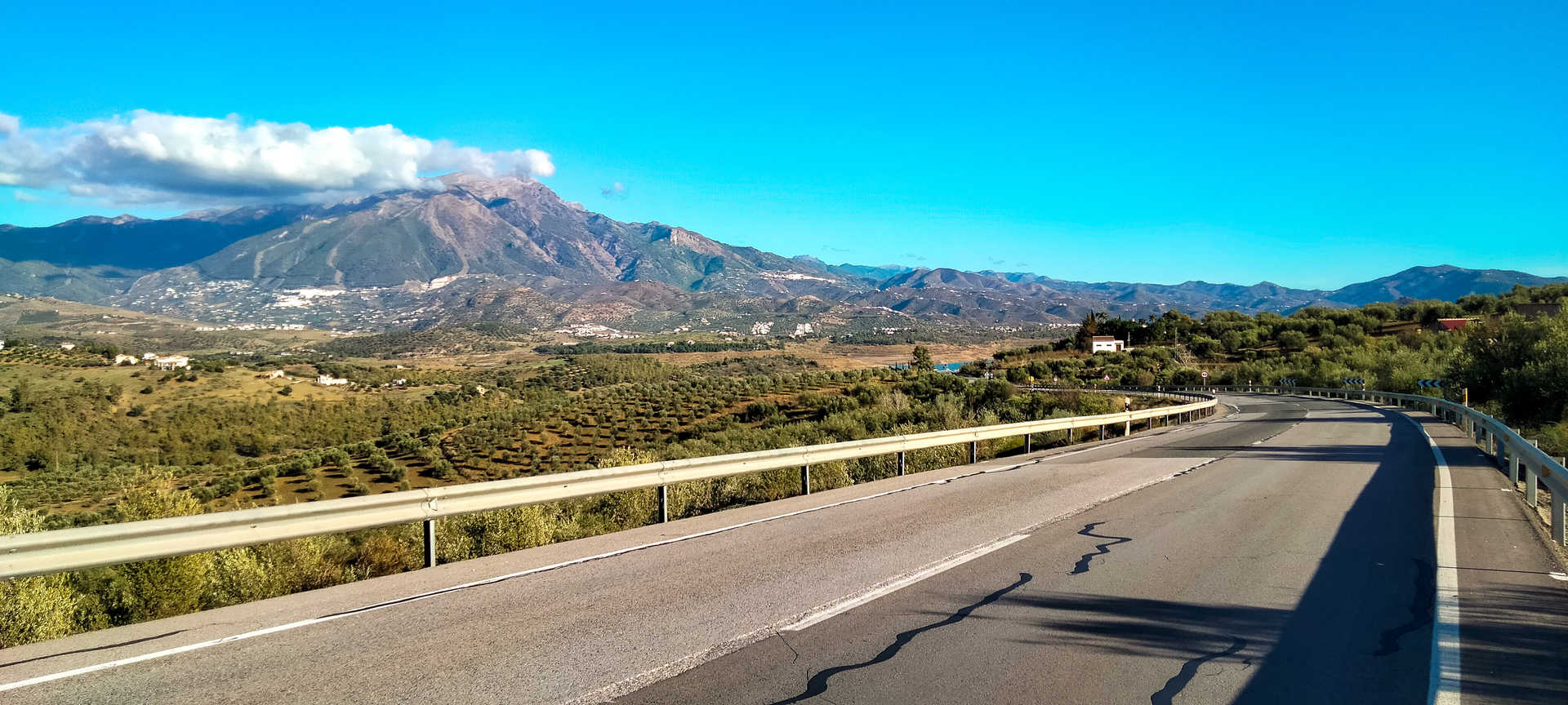
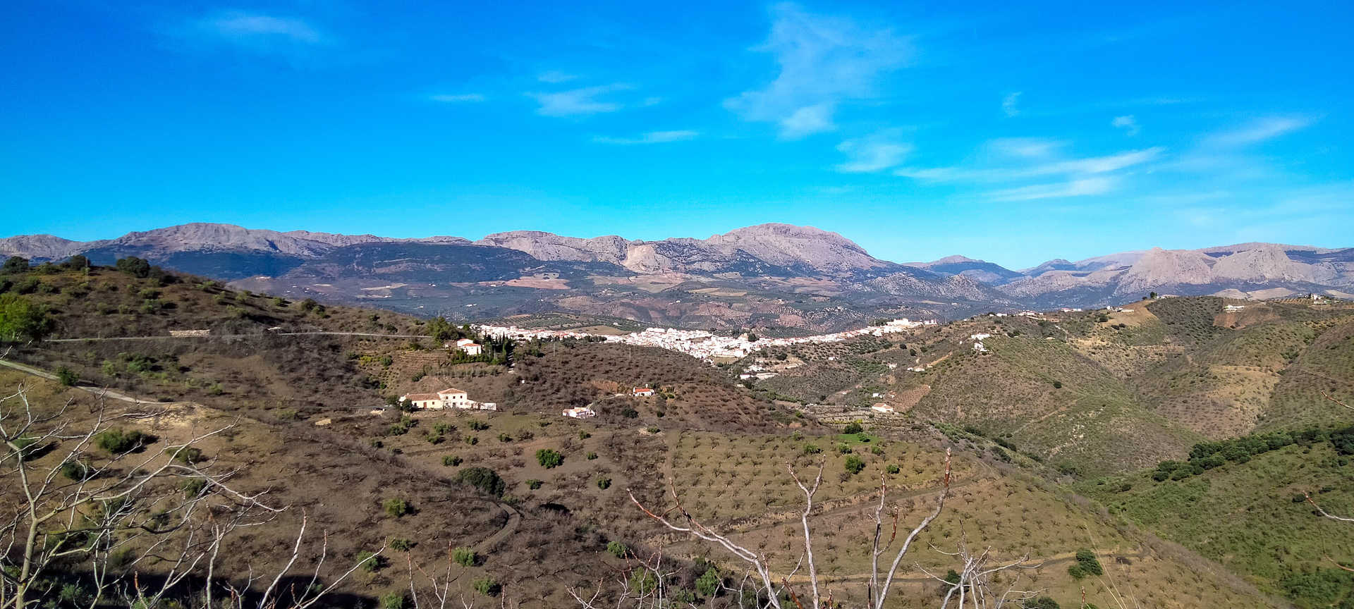
On this route you can still see the traces of an agricultural activity that remains very much alive. Now with lighter traffic you reach the village of Colmenar (stop 3), a real balcony on Los Montes and a larder for the province. At this point you turn east on the A-356 road, a fast and broad stretch of road that offers impressive views of the La Maroma peak, the highest peak in the province of Malaga.
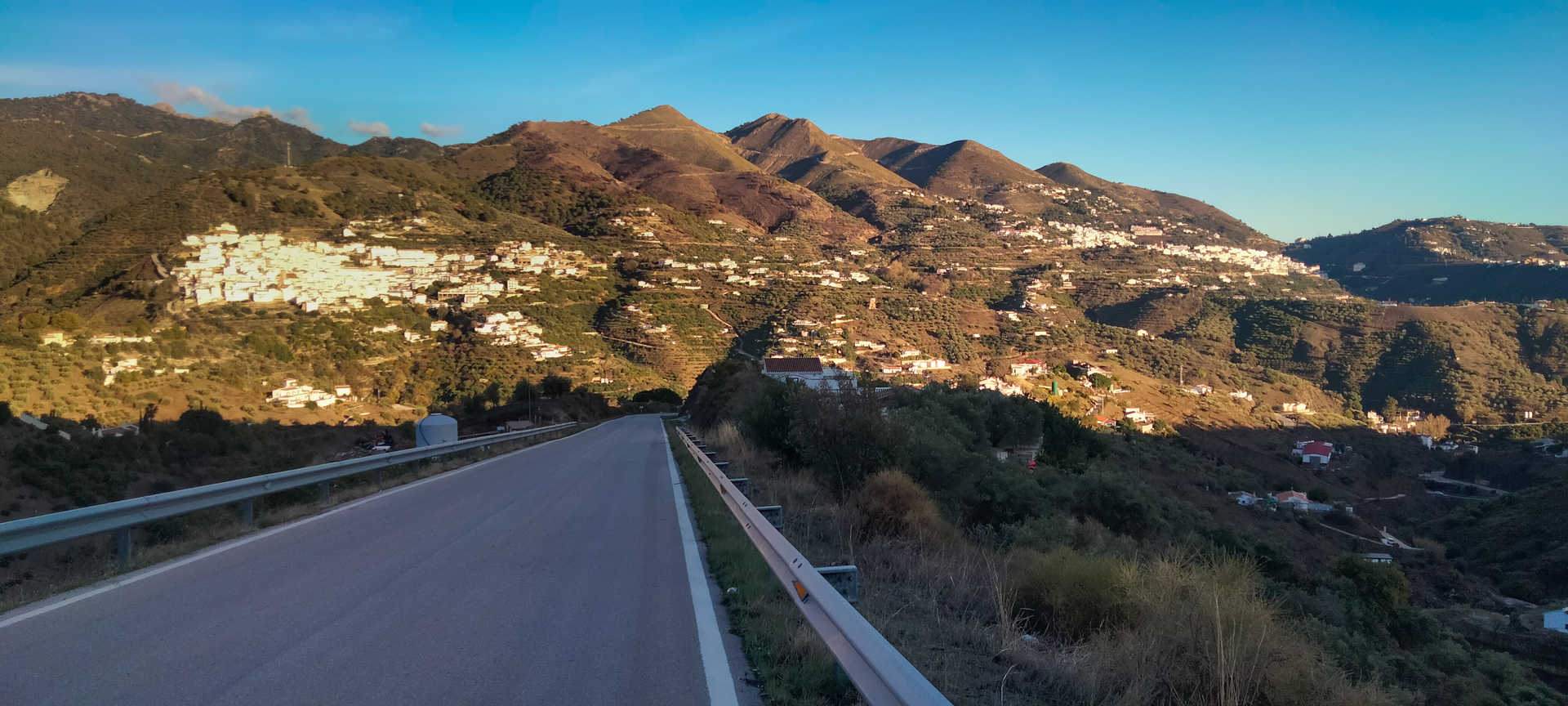
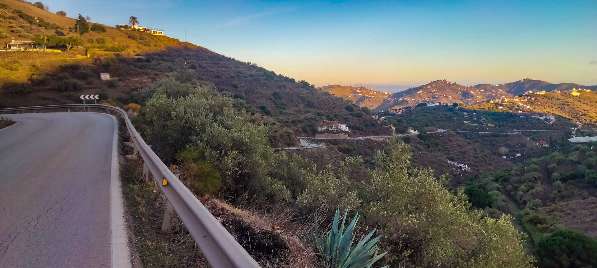
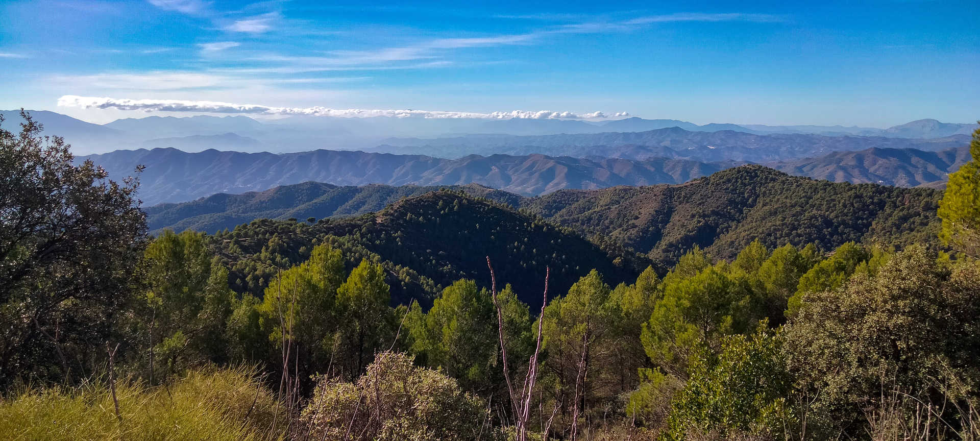
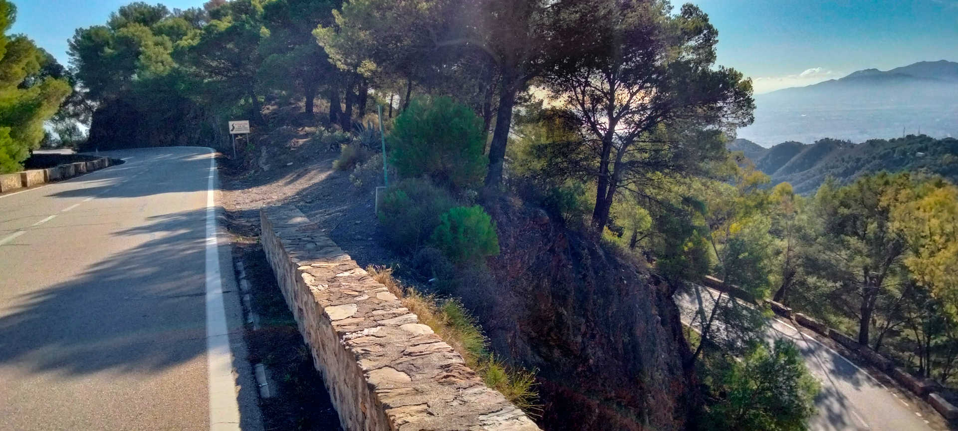
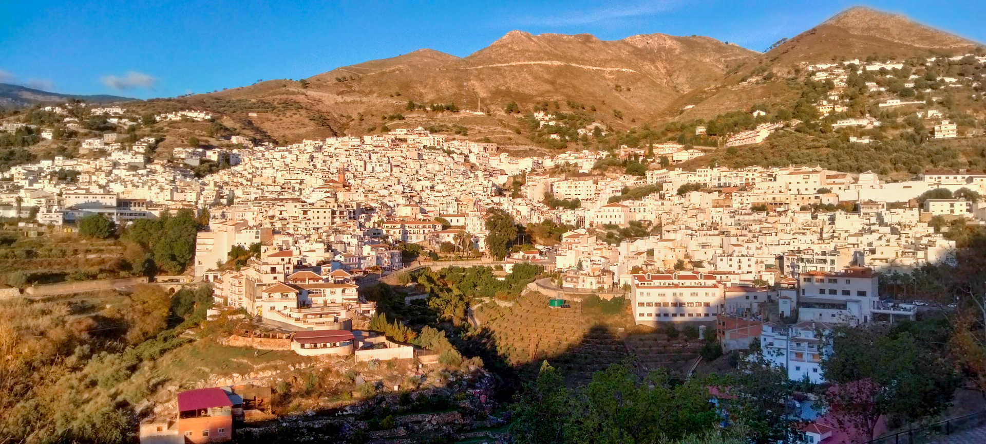
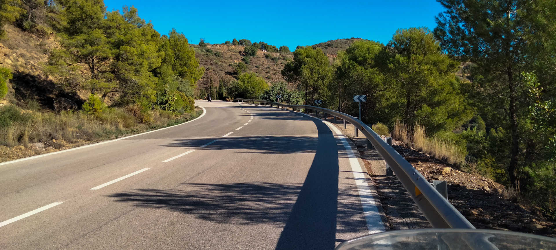
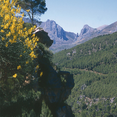
After passing through Riogordo and arriving at the La Viñuela reservoir dam, you begin a steep ascent to the heights of La Axarquía. Following MA-125 and 126, you will trace a series of small white villages: clean, beautiful spots on the mountain: Canillas de Aceituno (stop 4), Sedella and Salares. In Canillas de Aceituno you will be impressed by the suspension bridge and also, as in all the other villages, its outstanding Moorish heritage. The road is narrow and extremely winding; it is literally hanging from the ravine as it skirts the south face of the Sierras de Tejeda, Almijara and Alhama natural park. You must take care, since you might encounter loose stones on the road due to landslides. Traffic is intense throughout the area because of the enormous number of homes scattered throughout the district. It’s best not to hurry and instead just enjoy the route.
The route continues with steep ascents and descents, which lead to another string of magical villages, such as Árchez, Canillas de Albaida and Cómpeta (stop 5). The landscape alerts you to the change of climate. You will discover mountains with impressive benches, terraced plantations, tropical crops and paseros, grape-drying racks used to produce the Malaga raisin. In any of these villages you can recharge your batteries by sampling the most authentic local cuisine, a perfect symbiosis of sea and mountain. Chivo de Canillas goat or fennel stew are among the heartiest dishes, and there are also lighter dishes such as gazpachuelo (a soup of fish and garlic), ajoblanco (almond cold soup) or enblanco, a dish made with local fish. Of course, you should not leave without trying its tropical fruits, Malaga wine and something very peculiar: the tasty peaches that are grown between Periana and La Viñuela. The main ingredients in Axarquia’s confectionery are Algarrobo’s cakes and Alfarnate’s rosco carrero (spiral bun), with ingredients such as almonds, eggs, cinnamon and extra virgin olive oil.
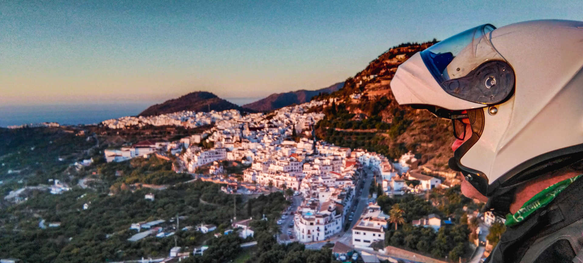
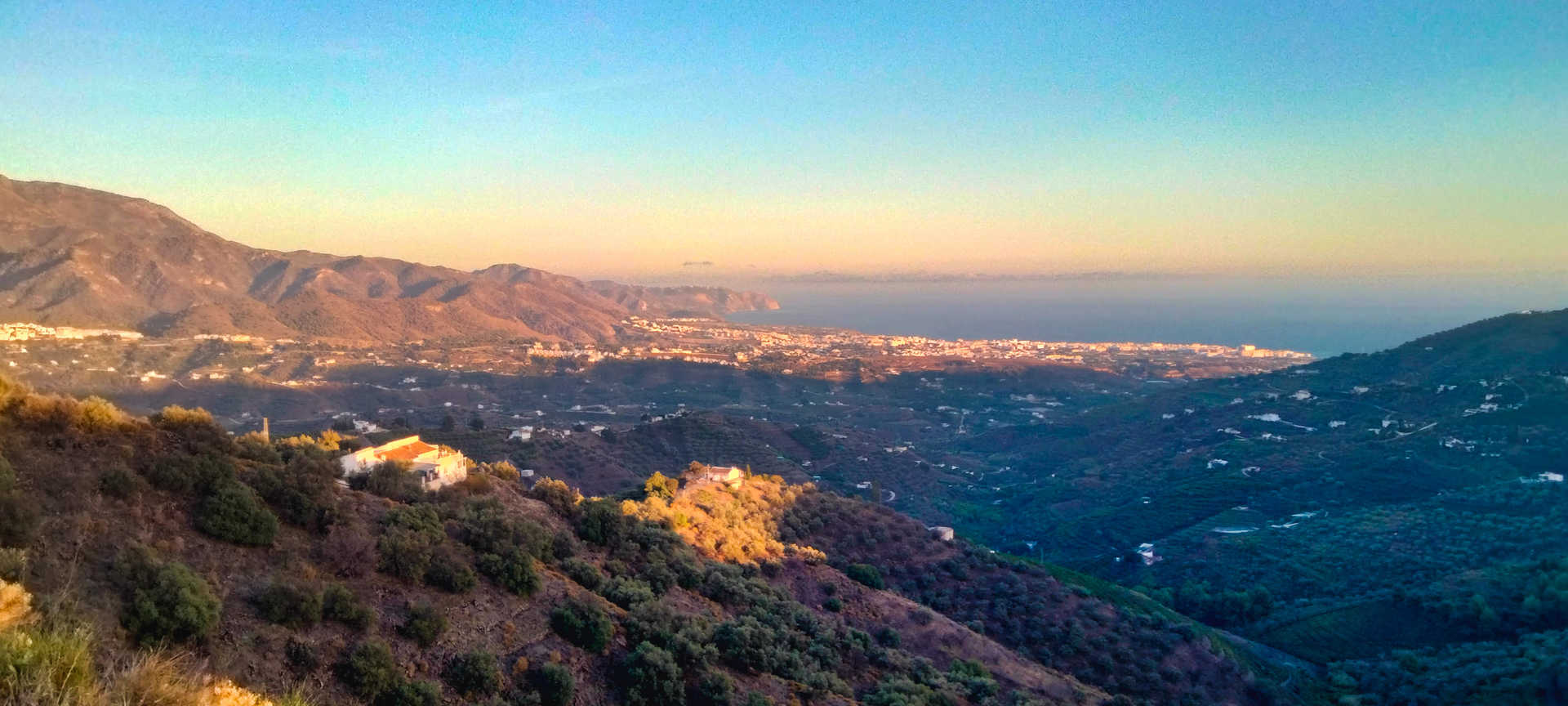
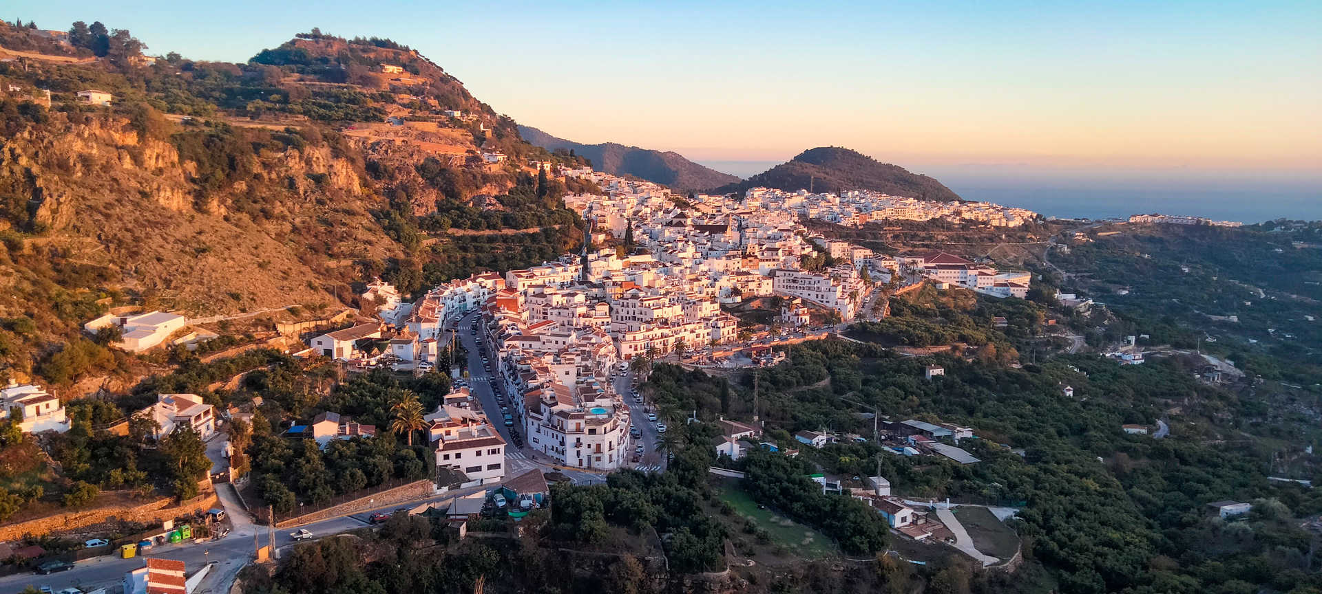
You then continue down the A-7207, heading south, until you almost touch the coast at the village of Torrox. You then turn again and ascend the valley of the River Torrox, which offers beautiful views over the Mediterranean and leads to the spectacular village of Frigiliana (stop 6). A white village with labyrinthine streets and enchanting spots. Leaving a pleasant memory in your memory, a few you kilometres later you will reach the Nerja coast. A visit to its Cave, taking a photo with the Chanquete boat and ending such an intense route at the ‘Balcony of Europe’ (stop 7), a magnificent terrace overlooking the sea that is ideal for enjoying a unique sunset, are unmissable.
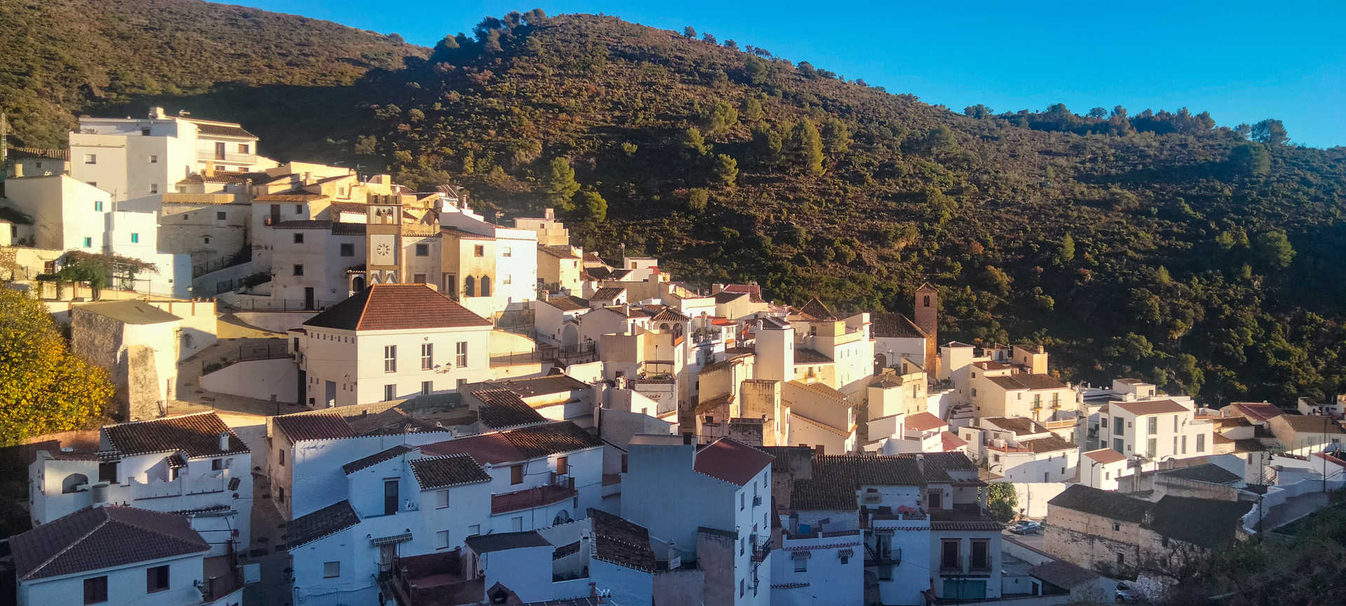
#frigiliana selfie spot
The Carretera de Torrox vantage point offers a beautiful panorama of Frigiliana, known as one of the most beautiful villages in Spain. From a distance you can admire its striking white colour, which stands out against the deep blue of the Mediterranean.
en
Read more
Itineraries

Axarquía route
Málaga, Salares, Canillas de Aceituno, Cómpeta, Colmenar, Canillas de Albaida, Sedella, Nerja, Riogordo, Frigiliana
Málaga
Services and infrastructure
Target audiences
young people, Couples, I travel alone, Friends
Segments
Leisure and fun, Culture, Sports, Gastronomy
Specialties
Rutas por asfalto
Season
All year


EXPLORE ANDALUSIA
EXPERIENCES


