
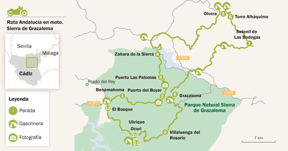
Sierra de Grazalema route
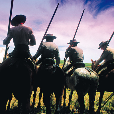
A bird’s eye view of riding
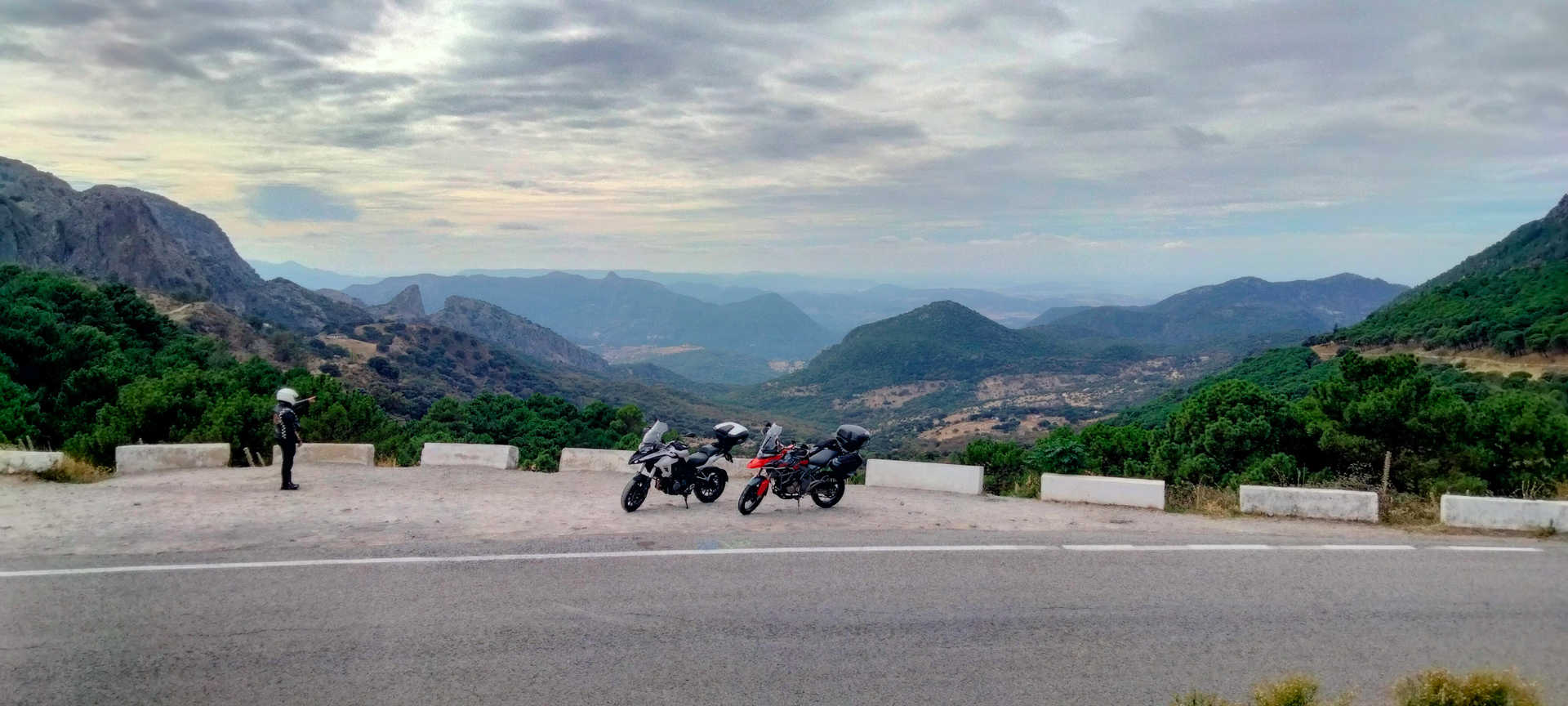
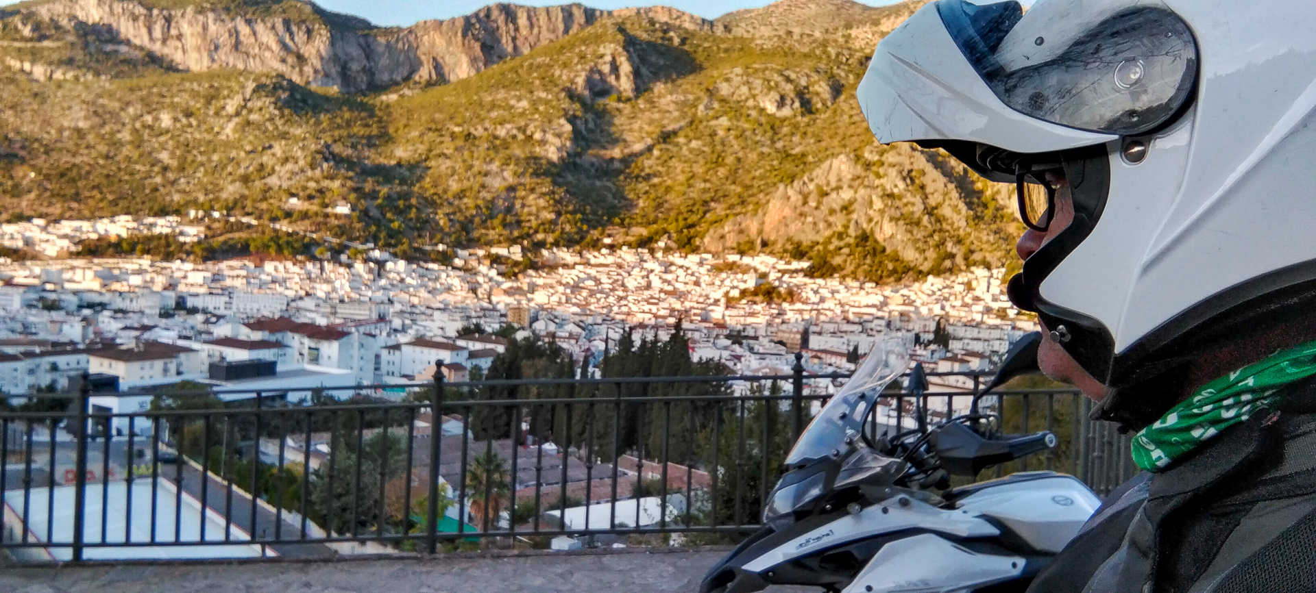
On the enormous slopes of this route, you will ride among the clouds. From above, the countryside appears like a cartographic map of roads with hundreds of bends sketched on an immense palette of colours, from the intense green of the Spanish firs to the yellow of the canyons, from the white of its villages to the grey of the rocks, from the blue of the sky to the red of the cork oaks...Open spaces, narrow passes, castles and fortresses, peaks that break the horizon and reservoirs that slumber on their waters...Thus is the sierra with the highest rainfall in Spain. Contrasts in the northeast of the province of Cadiz.
On route
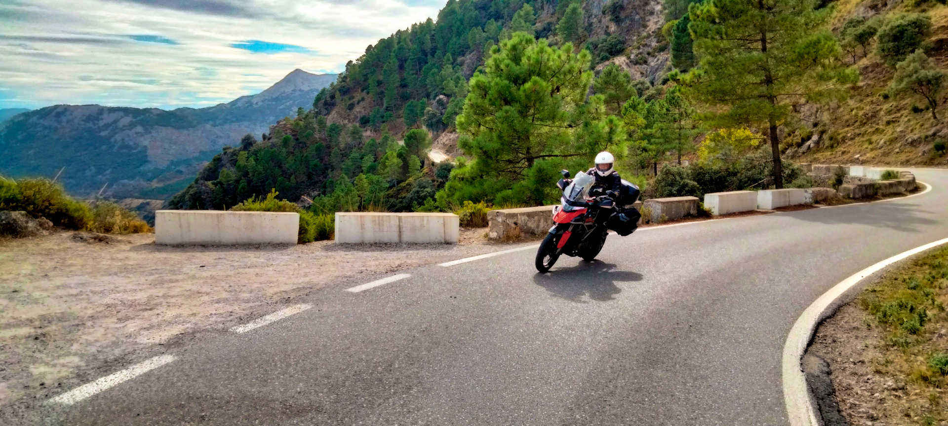
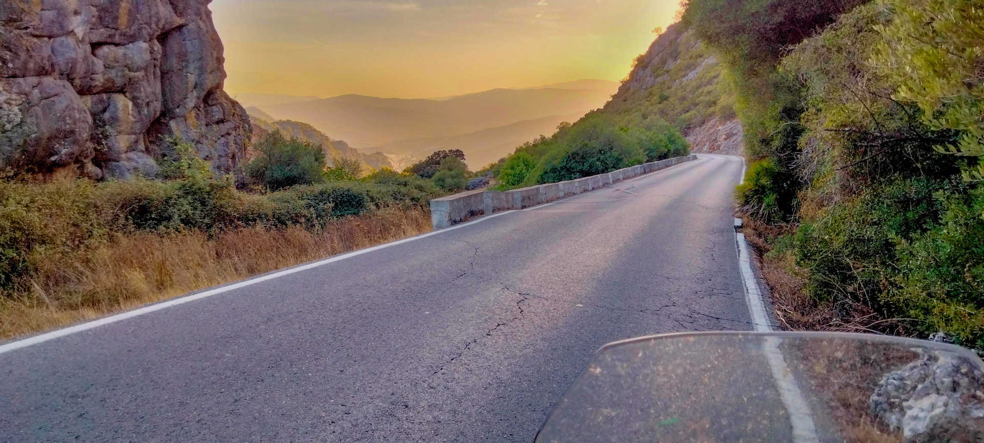
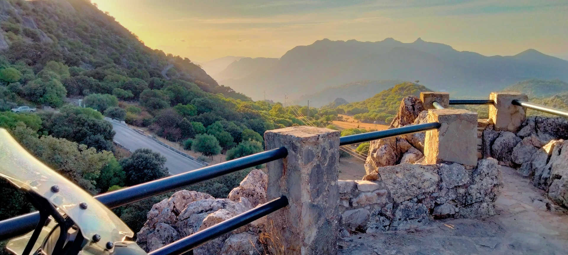
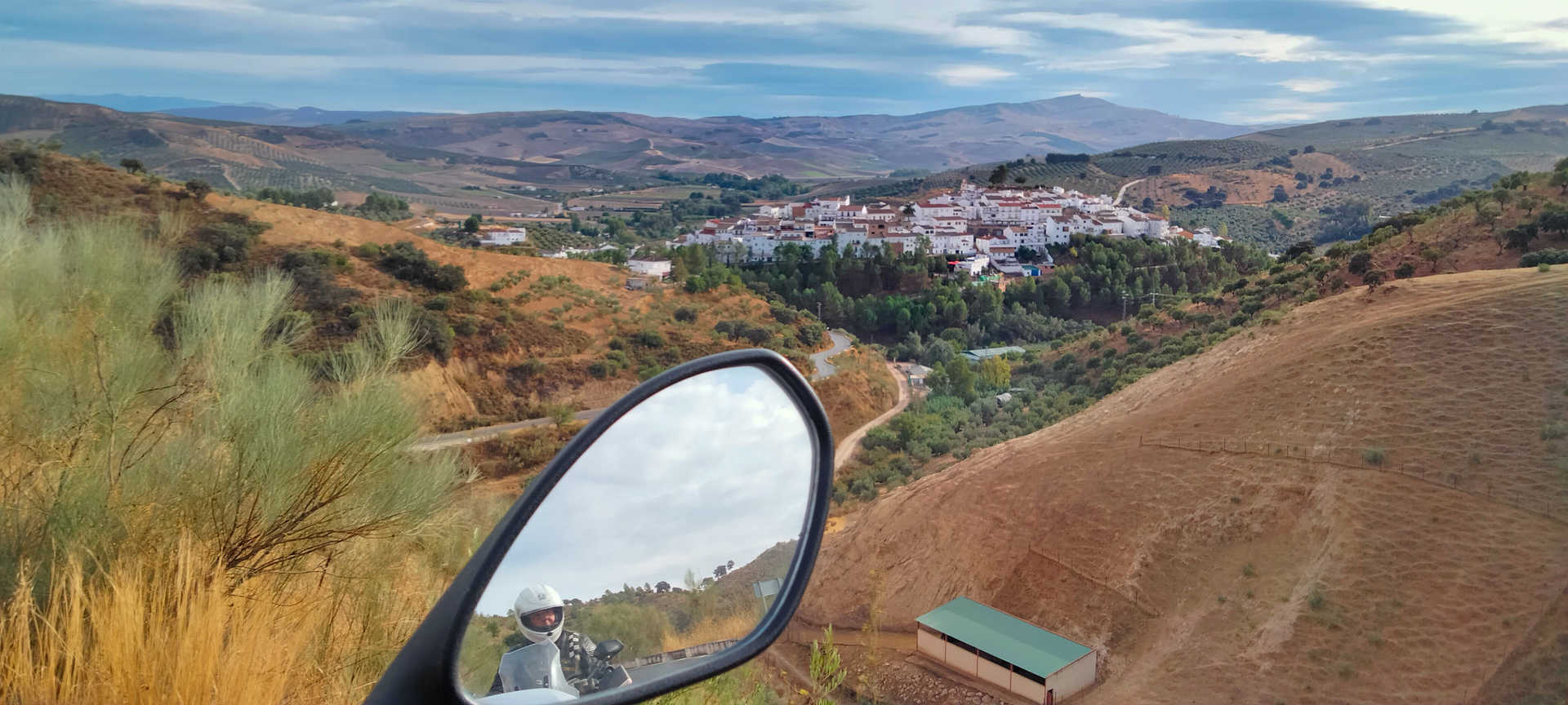
You will set off from the village of El Bosque, a leafy starting point at the lowest point on the route. Almost unnoticed, in barely 30 kilometres, you will have climbed to an altitude of more than 1,000 metres. The road is narrow, full of bends and has magnificent asphalt. The views are spectacular, and compel you to stop and enjoy them over and over again. You will cross Benamahoma (stop 1), a white village known for its magical spring. After leaving behind its charming streets, the vantage points at Puerto del Boyar (stop 2), with its impressive views of the valley and the coast of Cadiz, and at Puerto de Las Palomas (stop 3), with its breathtaking panoramic view of the Seville countryside, as far as the eye can see, are must-sees. The descent to Zahara de la Sierra via the CA-9104 is slow, narrow and very winding. Take great care with the many blind curves facing the abyss, which is attractive but treacherous.
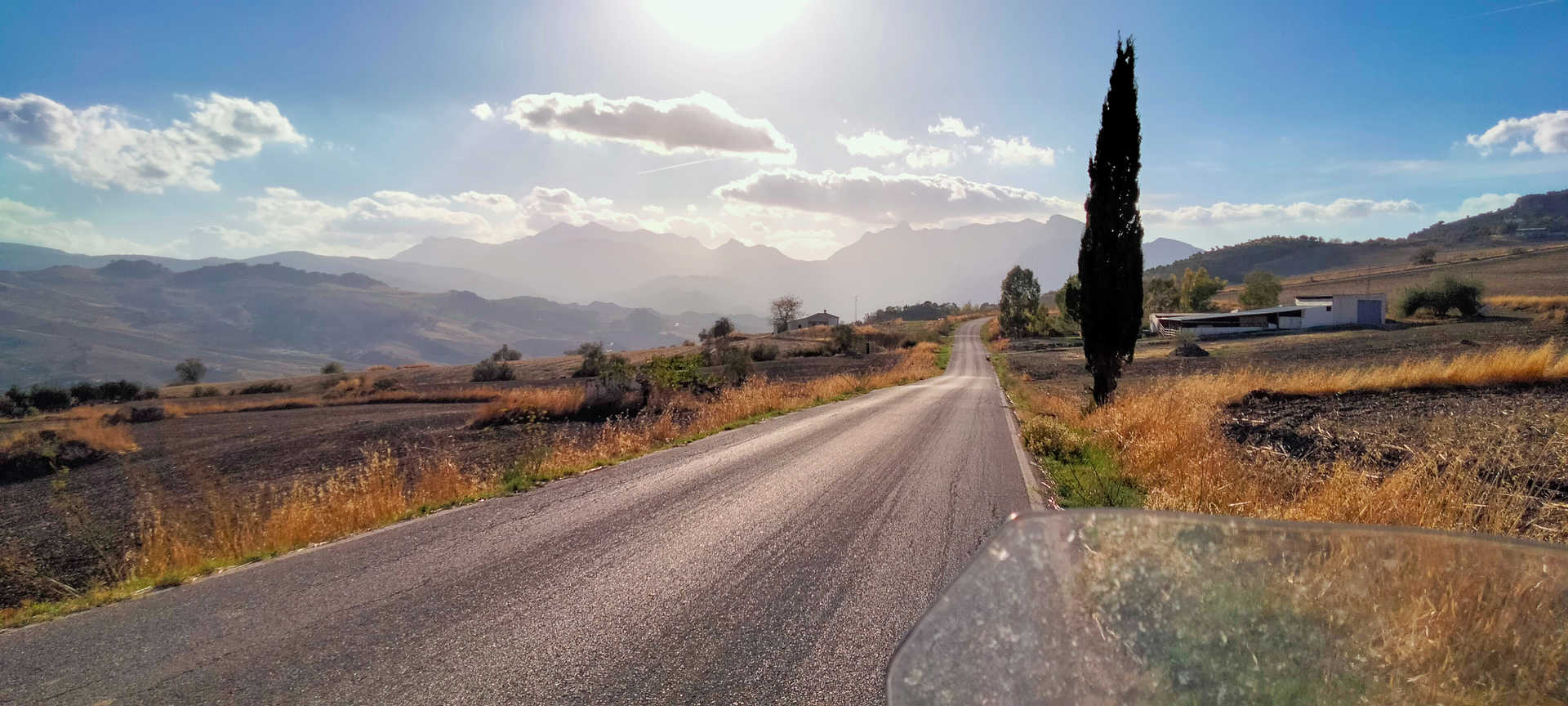
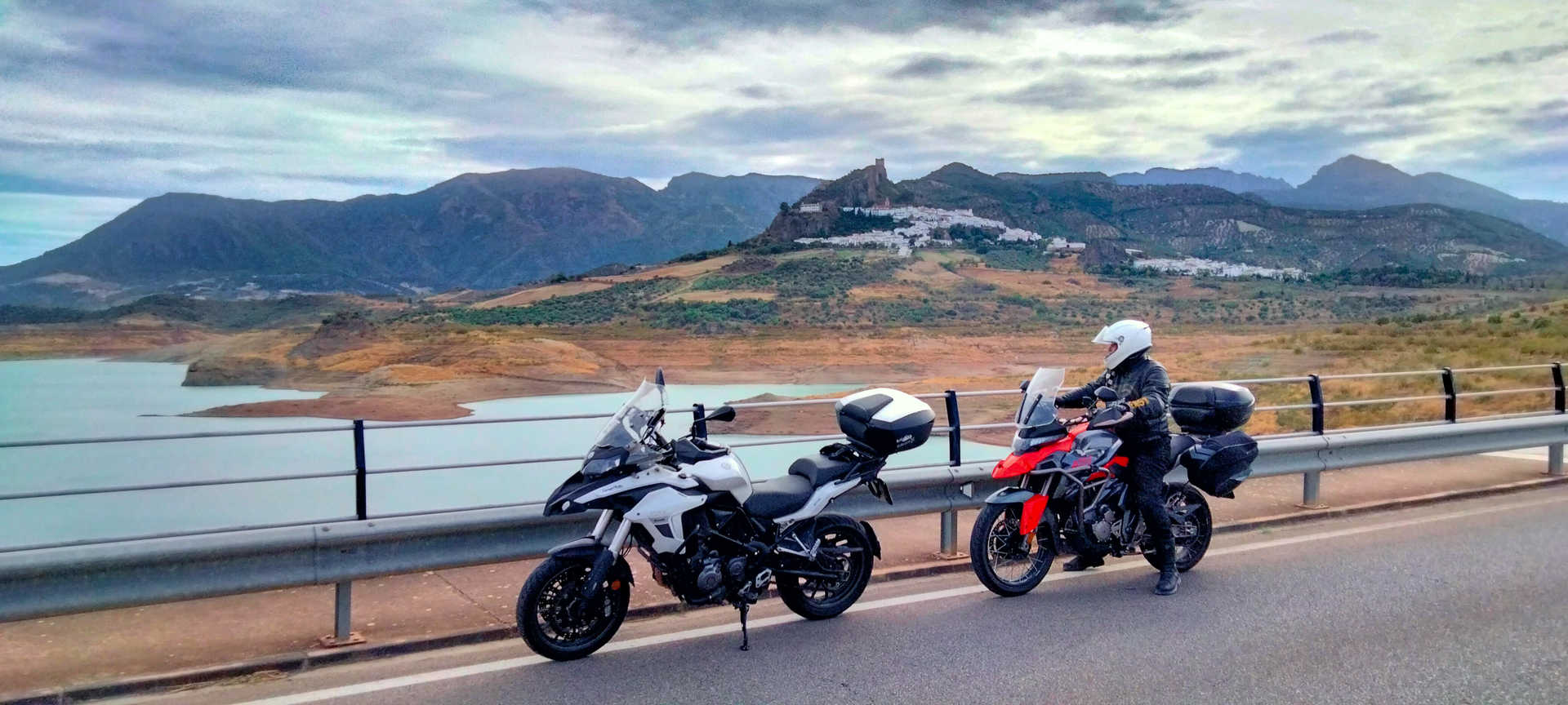
Overlooked by its slender castle and accompanied by the calm waters of its reservoir, you will now leave the steep Zahara behind you (stop 4). As you head towards Algodonales, the road widens and stretches for a few kilometres, before narrowing and becoming winding again as you turn onto, first, the A-374, and then the N-342. In this section you will find a lot of potholes and steps on the asphalt with little grip, and will remain so for much of the route.
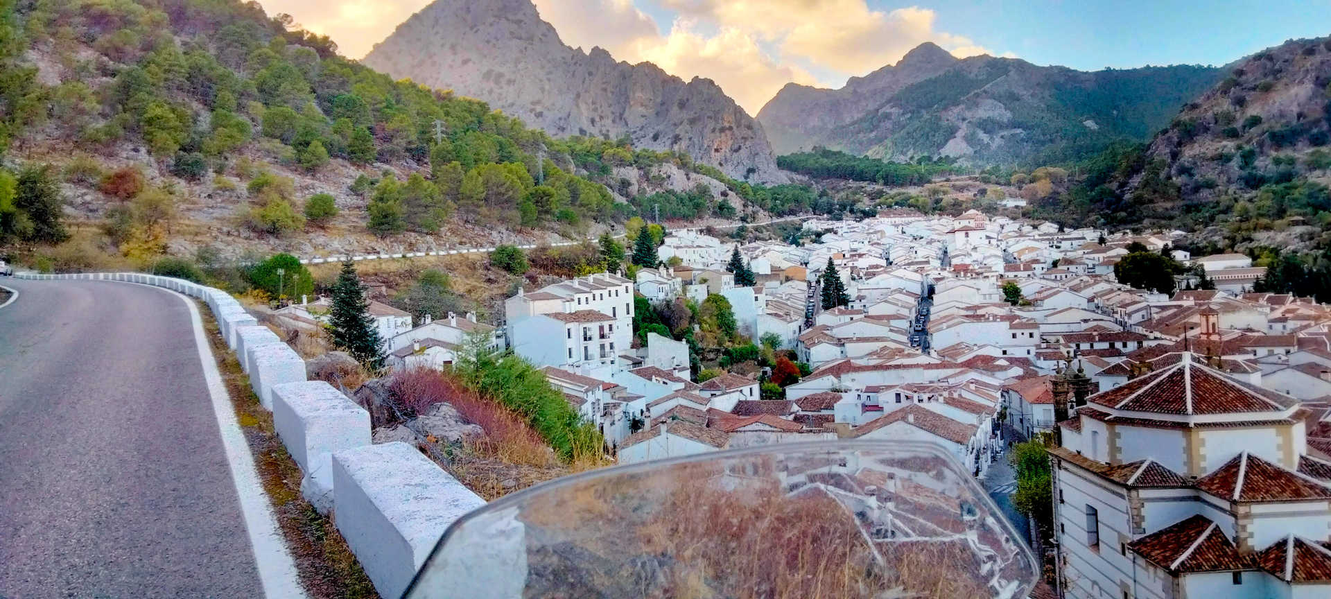
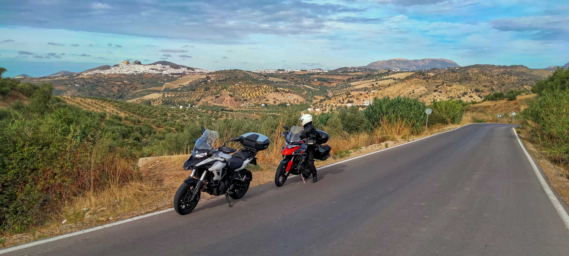
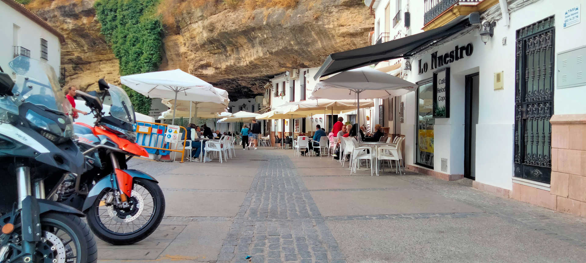
Enjoying the majestic setting of Olvera (stop 5), the outline of its castle and the church of Nuestra Señora de la Encarnación, you will then ride downhill until you see the beautiful picture-perfect village of Torre Alháquime (stop 6). A Historic-Artistic Site, it is notable for the labyrinthine layout of its streets and for having a motor race, the Subida a los Remedios. You will then ride along the CA-9120, through the canyon the River Trejo has carved out of the rock. The gorge culminates in the narrow and very peculiar, almost troglodytic, architecture of Setenil de Las Bodegas (stop 7). The village has also been declared a Historic-Artistic Site.
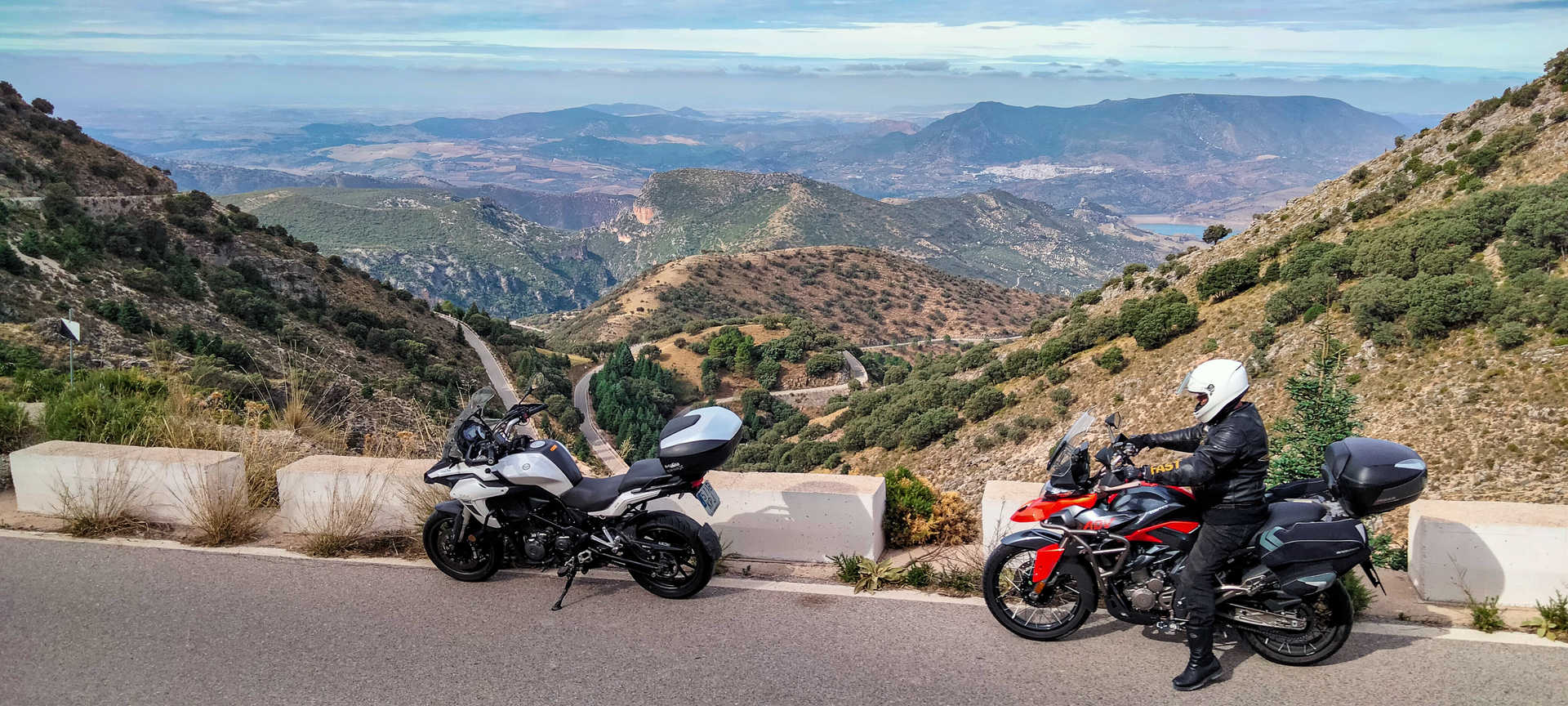
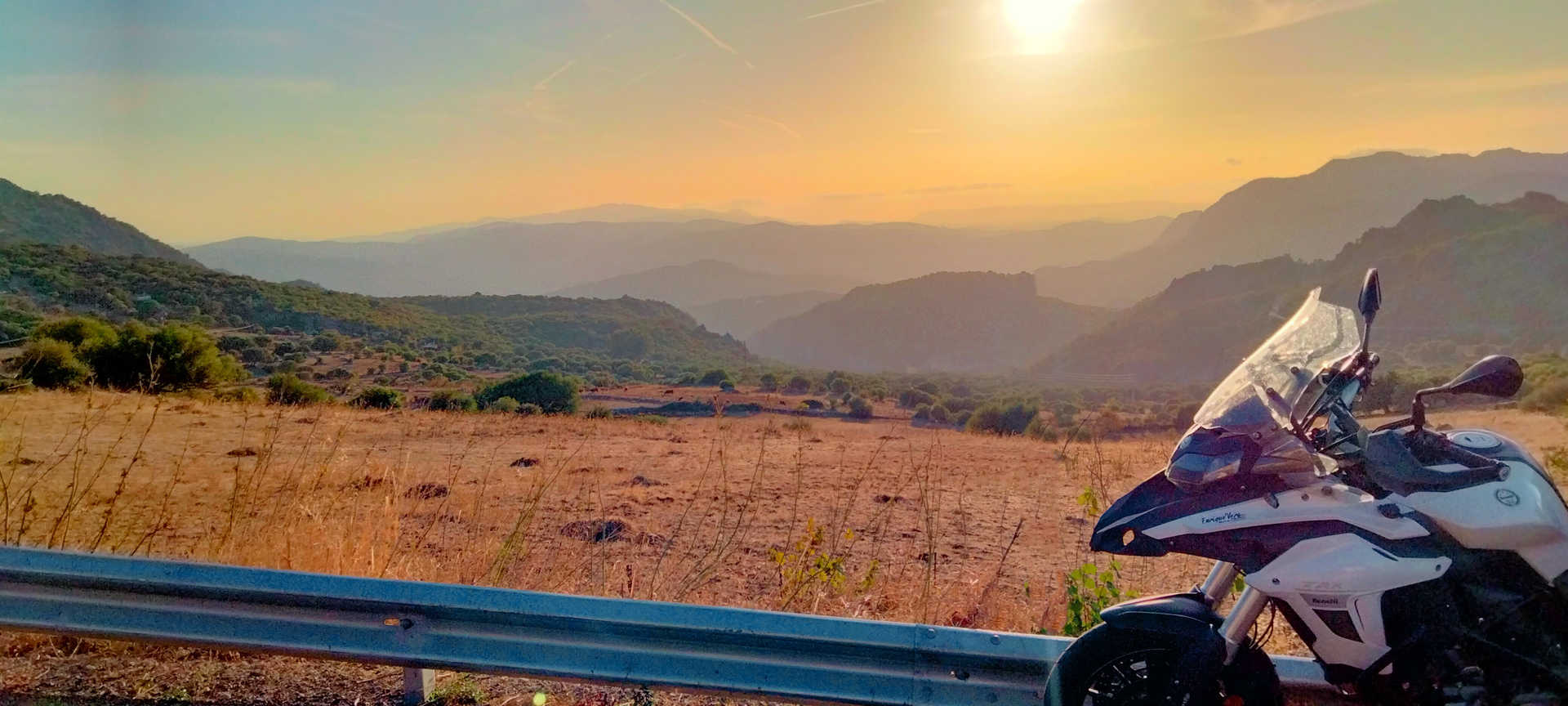
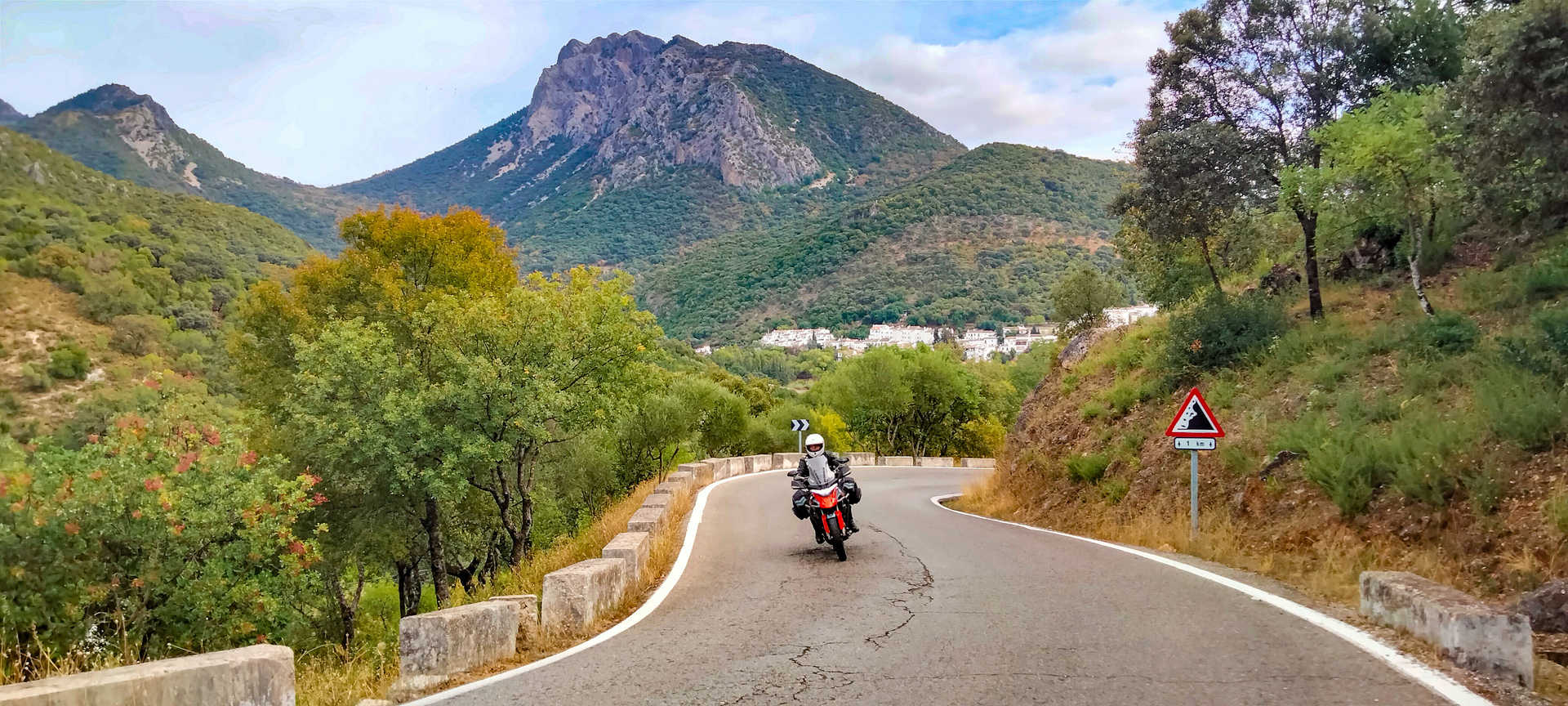
After recharging your batteries at Setenil, which boasts a first-class culinary culture, you return to the route: traditional farmhouse soup, exquisite asparagus scrambled eggs, hearty migas with chorizo sausage and the exceptional goat’s cheese with honey, among many other specialities. After passing Montecorto, which affords impressive views of the Grazalema massif, you enter the sierra along the CA-9123, an irregular, narrow and winding asphalt road. Motorbikes with stiffer suspensions will have to slow down. In the deepest recesses of the sierra, Grazalema (stop 8) welcomes us like the great host that it is. A clean, white village, where you can stroll and calmly enjoy its streets and the character of its people, but where you can also enjoy a cuisine based on lamb stewed with mushrooms, and its comforting Grazalema soup. Its payoyo goat’s and Merino sheep’s cheese are of no less quality, nor is its confectionery: almond cookies, mini-cheesecakes and almond buns. Don’t go home without discovering the history of its wool industry and without buying a blanket or a poncho.
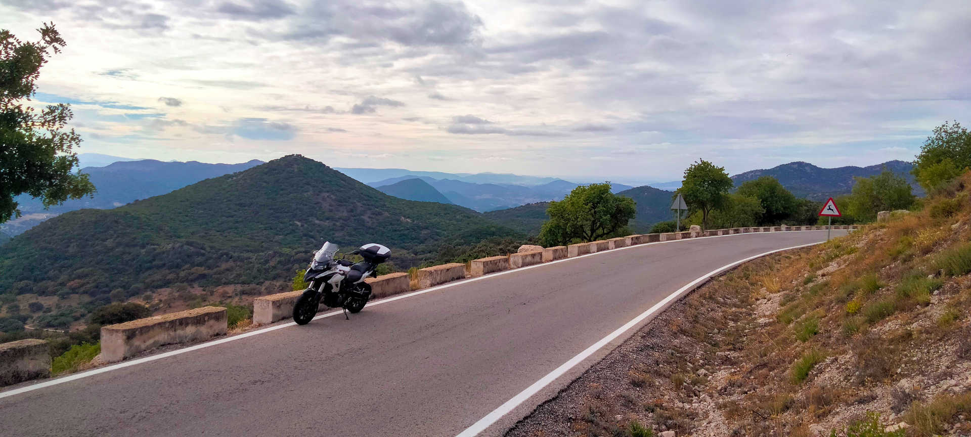
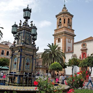
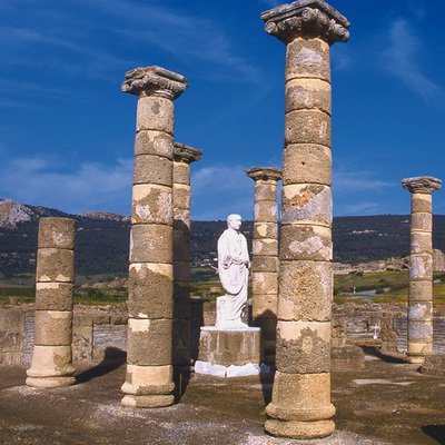
You then continue on to Villaluenga del Rosario (stop 9), a sanctuary for speleologists and the site of a very old and unique bullring. You then ride along the Manga, a narrow pass between vertical walls, a natural communication route between the Sierras de Cadiz and Ronda, whose road, which is said to be Roman, runs alongside the road and has borne witness to the passing of the centuries. The asphalt improves from Benaocaz. A breakneck descent with 180º bends and an unmissable stop, the Roman city of Ocuri (stop 10), takes you to Ubrique. Finally, you reach Ubrique (stop 11), the nerve centre of leather craftsmanship, before returning to El Bosque (stop 12) via a wide, busy modern road.
#ubrique selfie point
Itineraries

Services and infrastructure
Target audiences
Segments
Specialties
Season


EXPLORE ANDALUSIA
EXPERIENCES


