
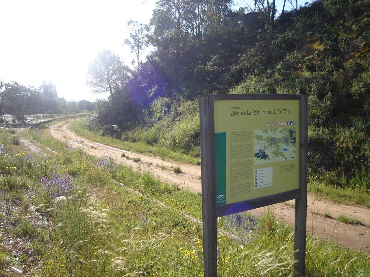
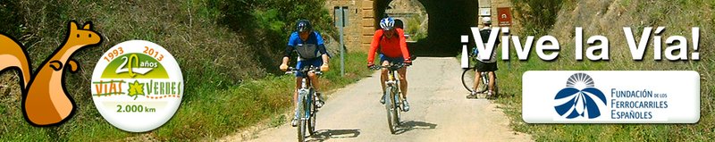
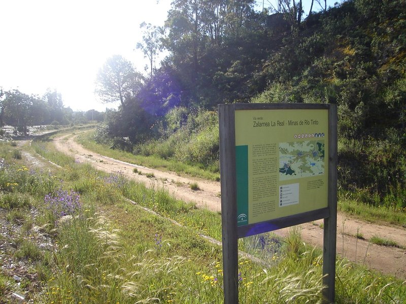
Vía Verde de Riotinto
The oldest mining in Europe
The Comarca de la Cuenca Minera de Riotinto mining region has stunning natural, geological and scenic attractions and unique environmental attractions, combined with cultural, historic and ethnographic attractions, which makes it especially attractive for outdoor activities.
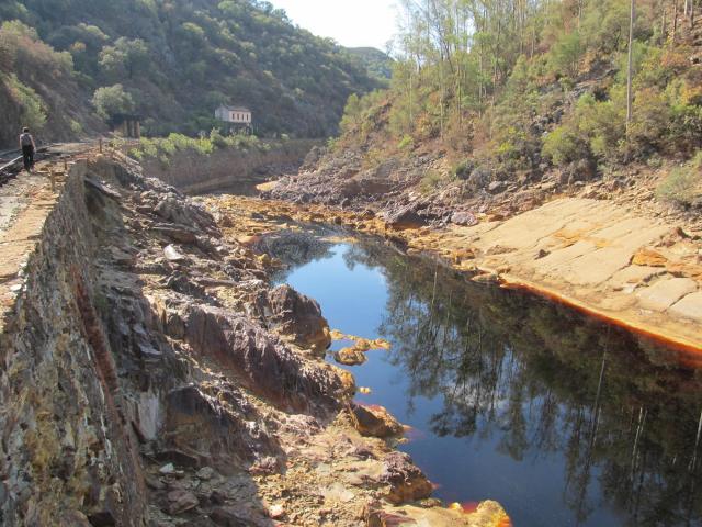
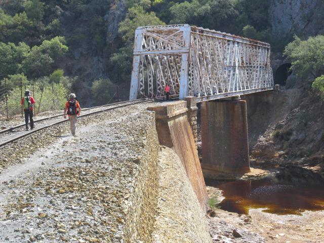
The Vía Verde de Riotinto starts in Valverde del Camino, following on from the Vía Verde Los Molinos de Agua. The 35 km route through the districts of Zalamea la Real, El Campillo and Minas de Riotinto, following the disused tracks of the old mining train, which used to run parallel along the right bank of the Río Tinto river, from its mouth to its source.
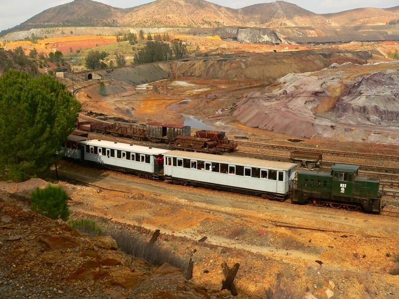
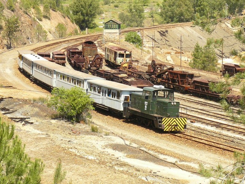
The railway tracks for the Cuenca Minera mining region came about as a result of the purchase of the Riotinto mines by a British consortium called Río Tinto Company Limited, to transport the tremendous mining production from the Port of Huelva. It took two years to build the track, and it was started in 1873. This 84 kilometre infrastructure was one of the most important pillars of the mining economy, and the economic projection of the province on a worldwide level.
These tracks were also used for transporting passengers, and was a free service until 1895. In 1964 it began its decline due to the use of other transport alternatives in the region and shut down in 1984.
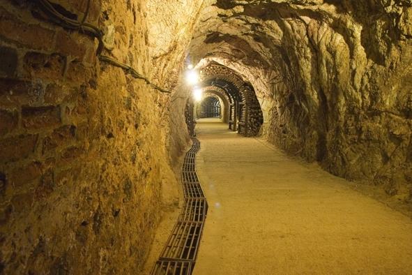
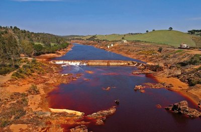
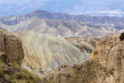
From the moment you leave Valverde del Camino, you will be accompanied by the Mediterranean mountains, with its typical scrubland and aromatic plants, passing through meadows and game preserves, until you reach "The Murcian landscapes of the Riotinto mines”. Today it is the Río Tinto protected landscape. It highlights the tremendous destructive power of man, from the result of 5000 years of non-stop mining. From the Cerro Colorado lookout point on the outskirts of the town, you can see the deep cut of the outdoor mines, marbled by a colour scheme of ochres, oranges, yellows and blacks.
Type of surface: Conditioned ground between Zalamea and Riotinto (7 km). Other: Un-conditioned ground Total length: 35 Km (29 Km + 6 Km from the Empalme-Valverde return journey) Accessibility: Suitable for walking, mountain biking, horseback and wheelchairs (suitable with major limitations: gravel and potholes). Infrastructures: Continuous platform. 2 tunnels (impassable). 2 bridges. Cartographic information: Military map of Spain. Scale 1:50.000: Pages. 938 and 960 Official Road Map. Ministry of Development.
Itineraries
Services and infrastructure
Target audiences
Segments
Specialties
Season


EXPLORE ANDALUSIA
EXPERIENCES


